The Lower Geyser Basin is the largest geyser basin in terms of area in Yellowstone and probably the world. It covers over 12 square miles along the lower valley of the Firehole. It is home to approximately 100 geothermal features. Combined, these features cover five square miles and include all four types of features, including fumaroles, hot springs, geysers and mud pots. The area looks most impressive in the early morning when the temperature is low. Columns of steam can be seen all over the geyser basin coming from the boiling pools of water.
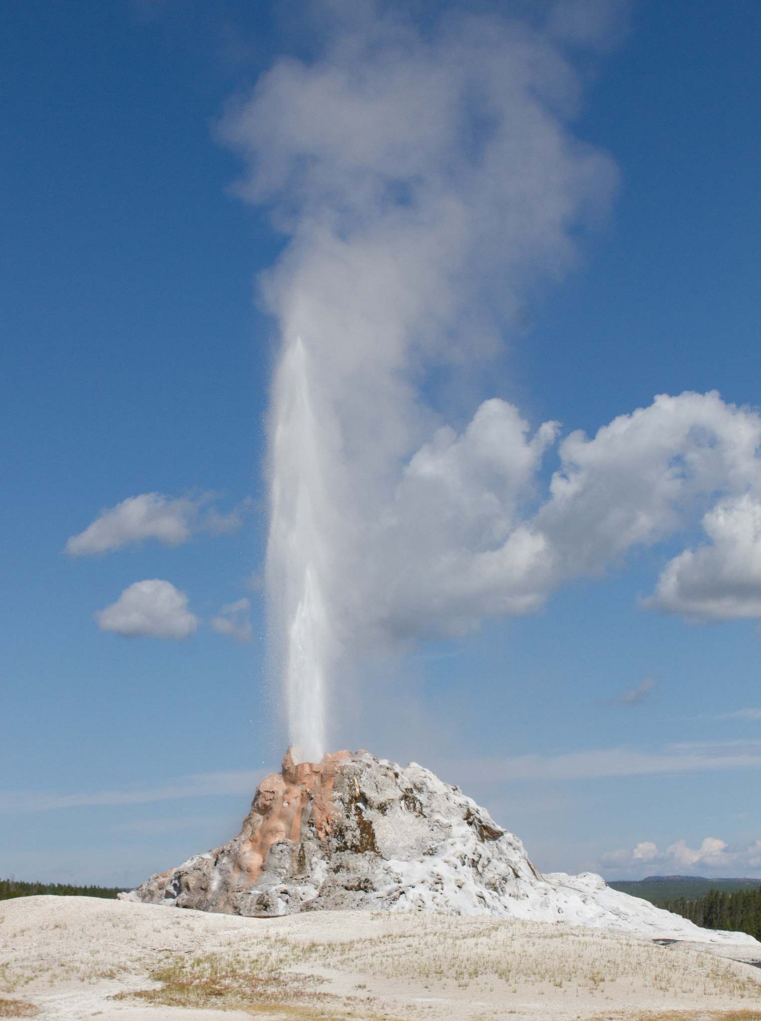
White Dome Geyser
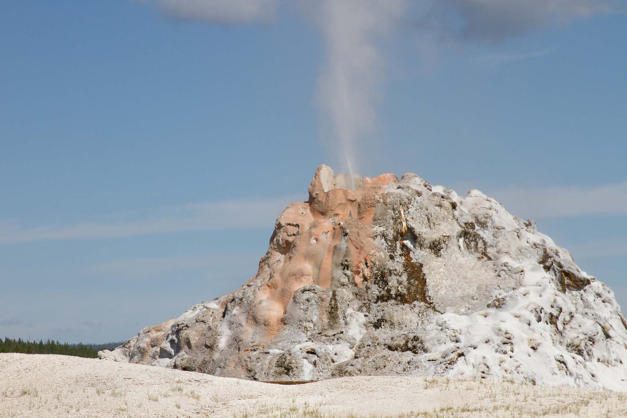
White Dome Geyser
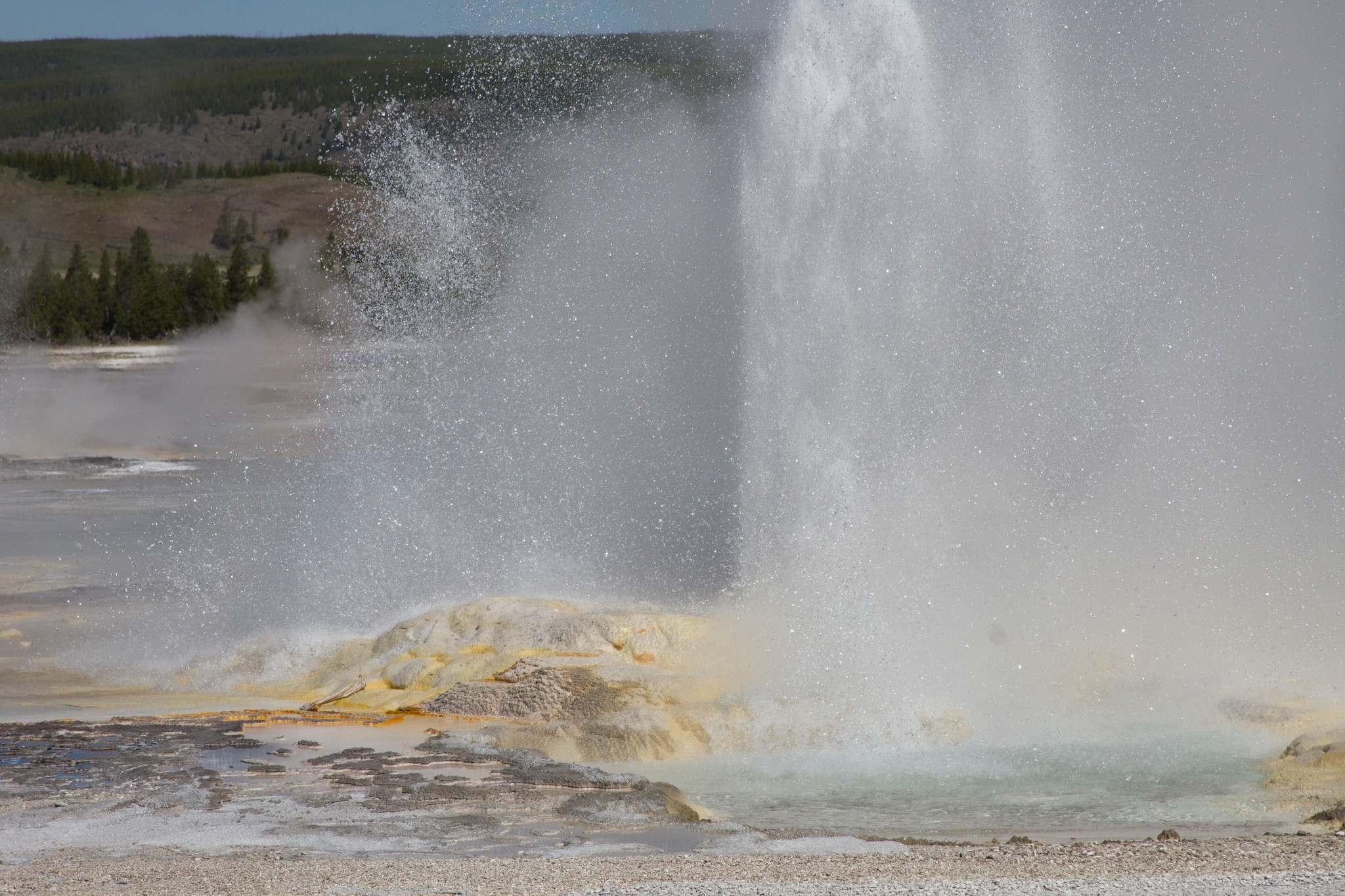
Clepsydra Geyser
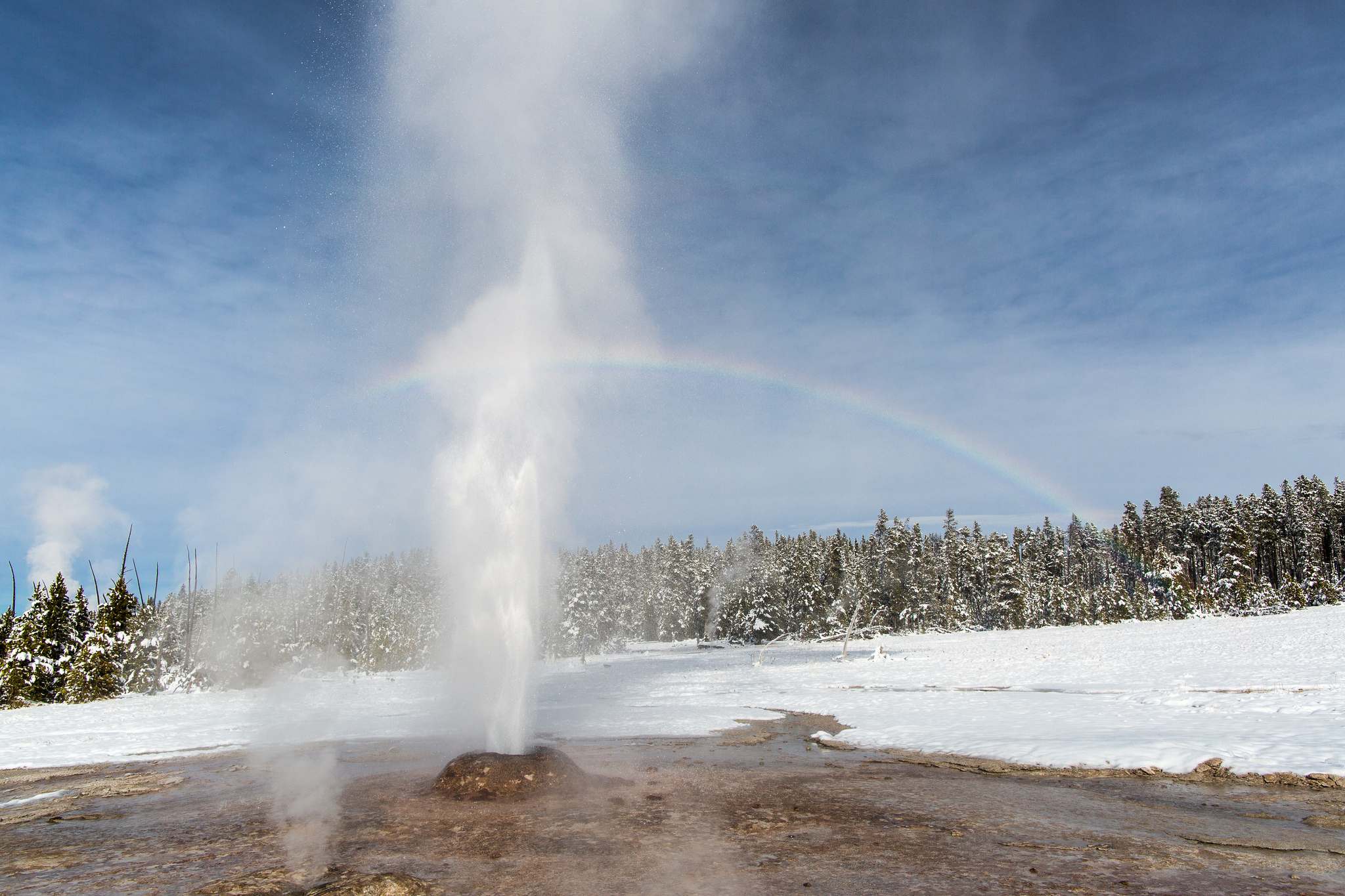
Pink Cone Geyser
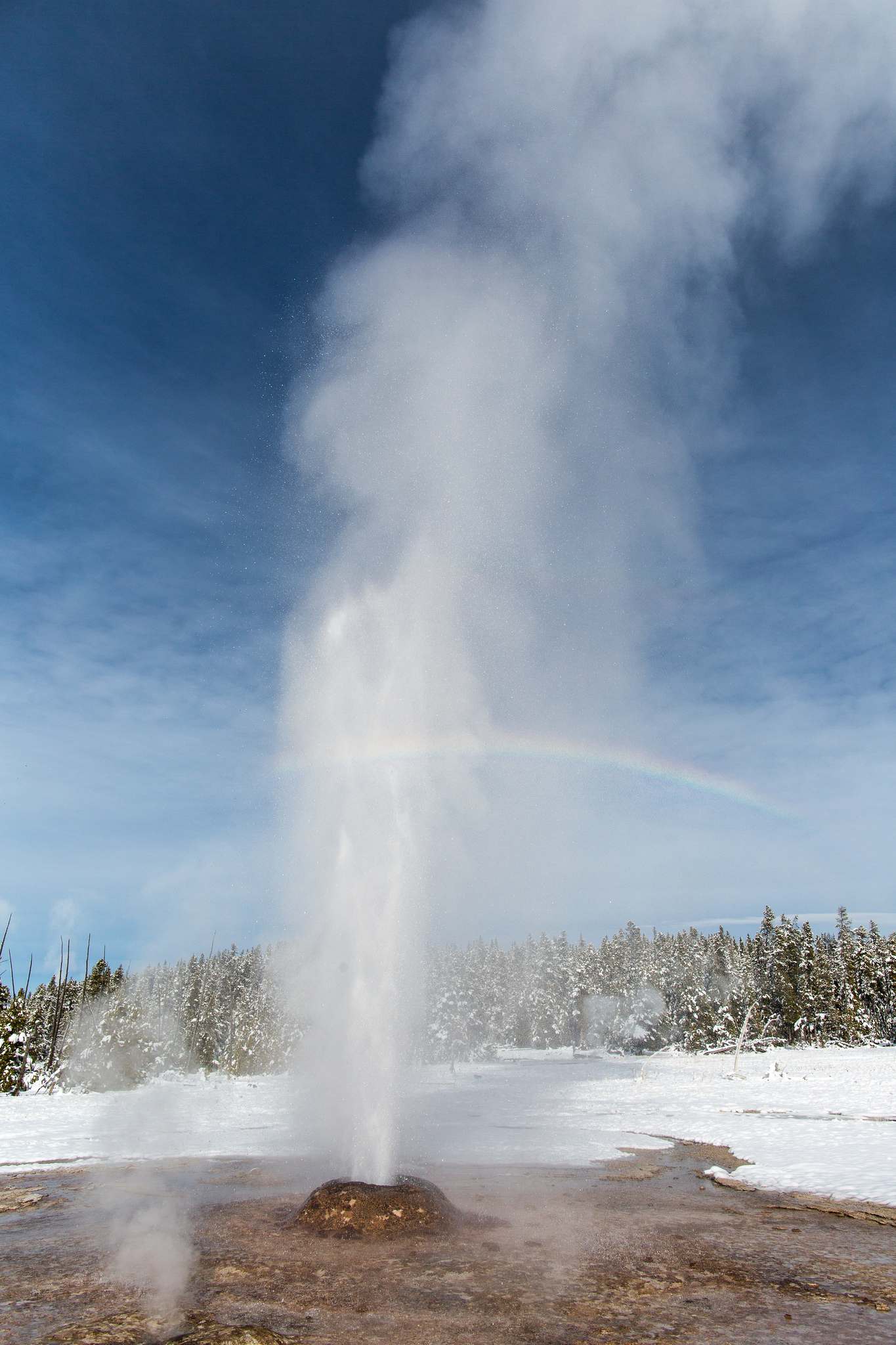
Pink Cone Geyser
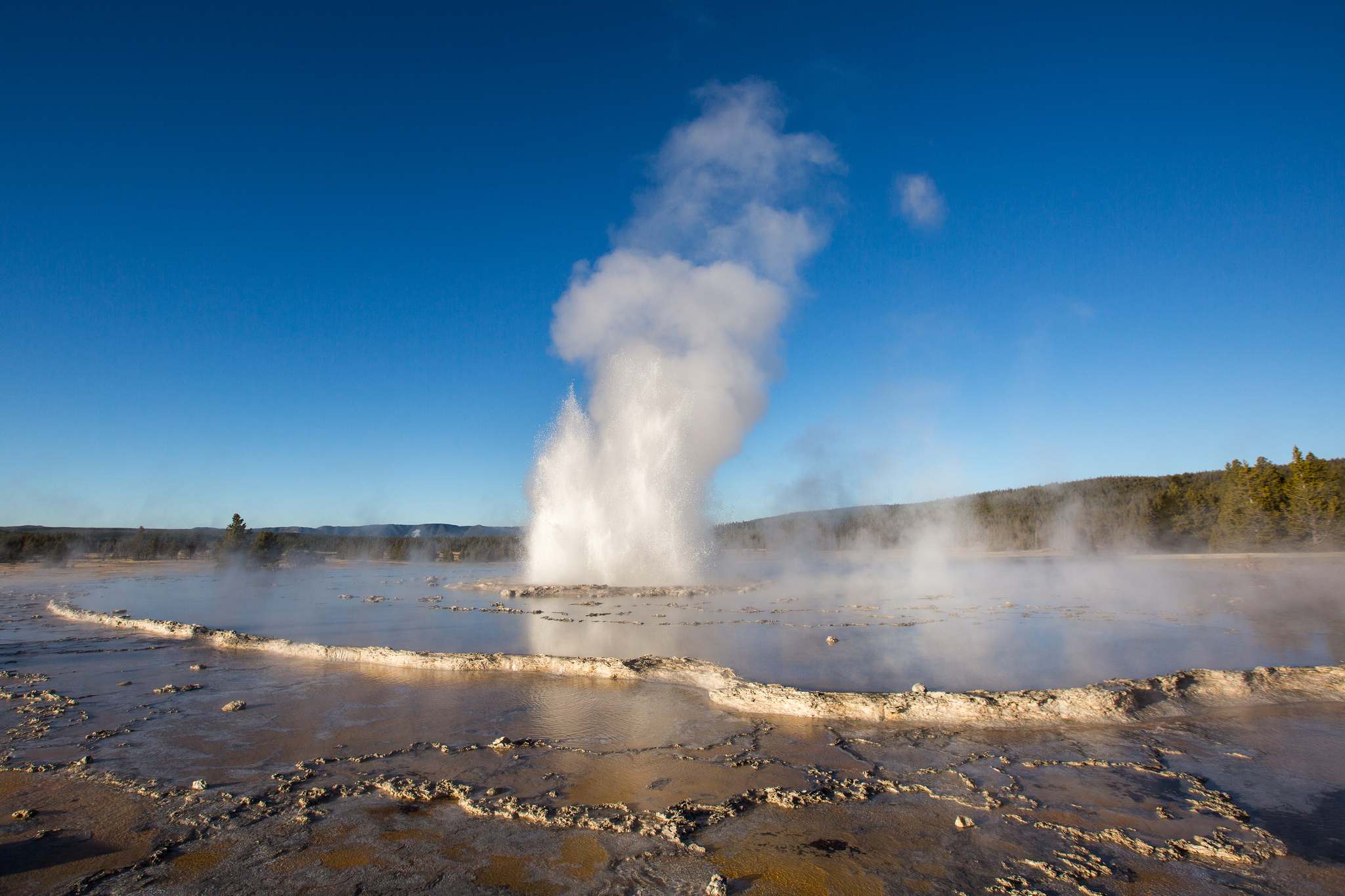
Great Fountain Geyser
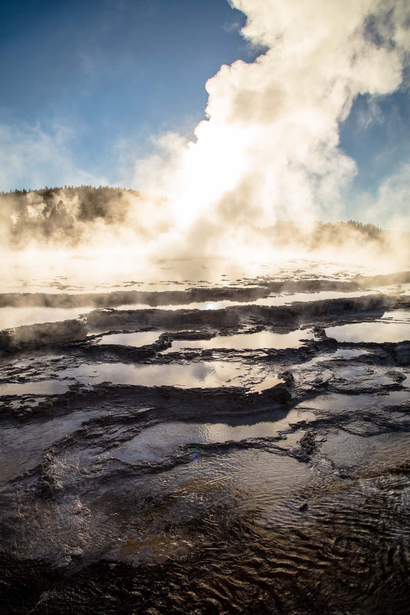
Great Fountain Geyser
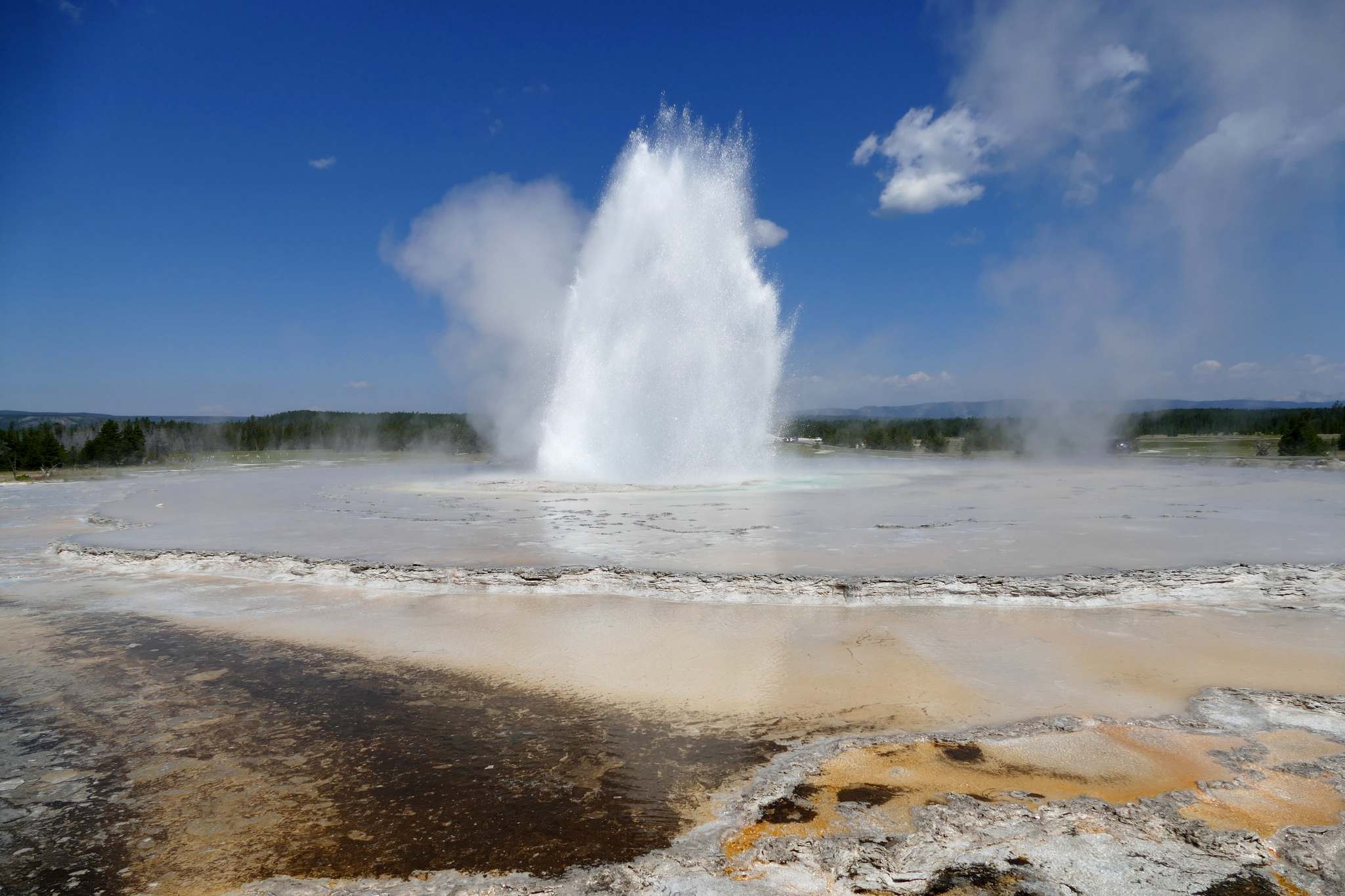
Great Fountain Geyser

Fountain Paint Pot
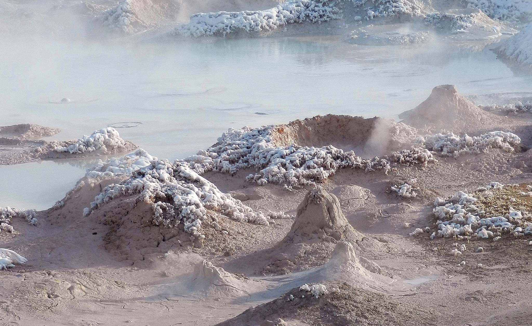
Fountain Paint Pot
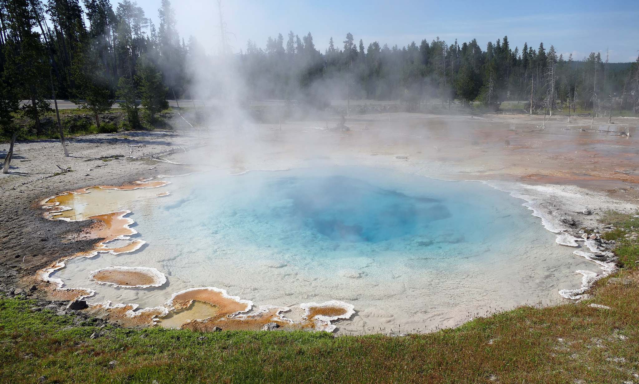
Silex Spring
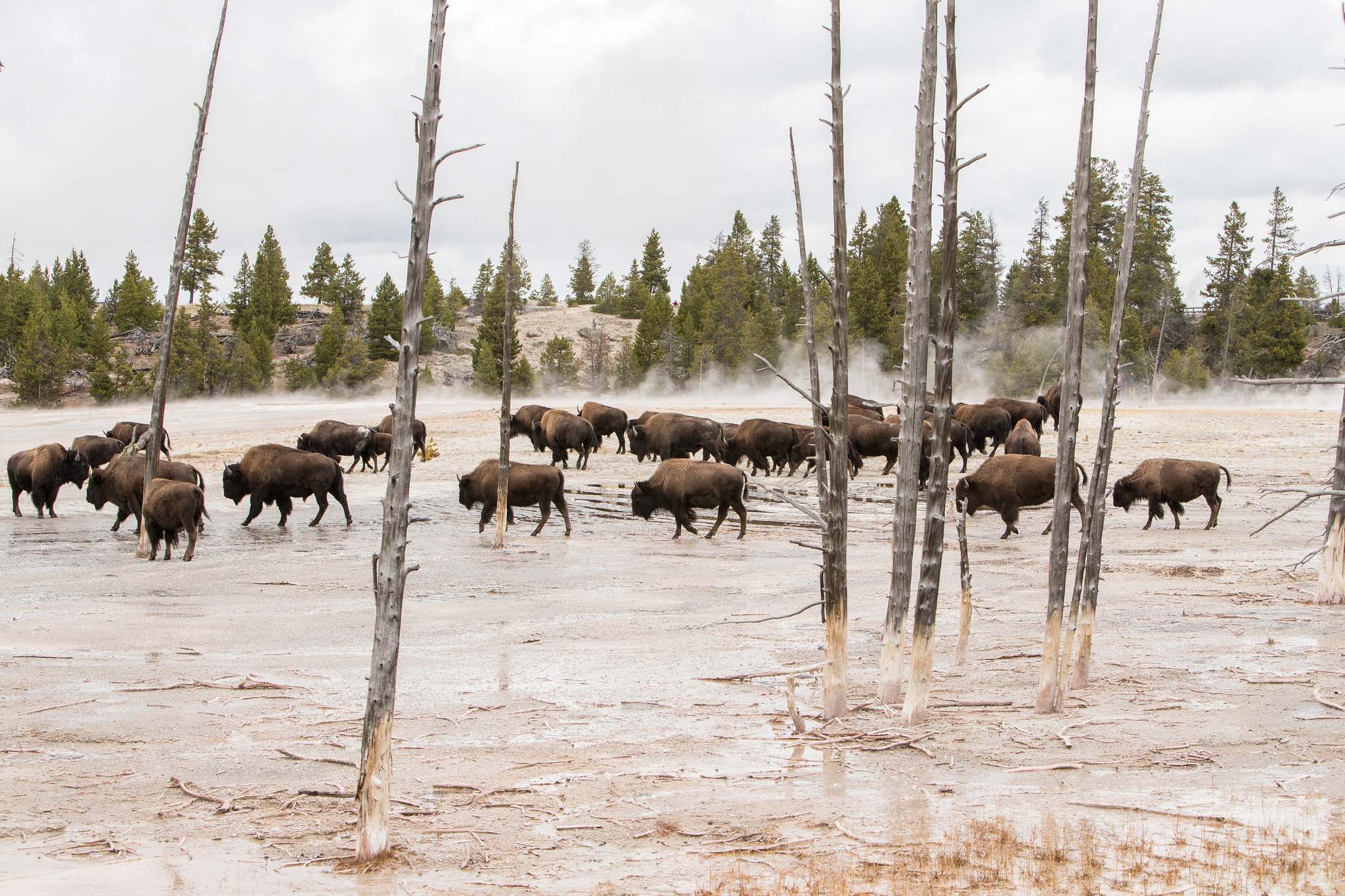
Bisons at Fountain Paint pots
credit: YellowstoneNPS
Tags: Basin, geyser, Great Fountain Geyser, Landscape, Lower, lower-geyser-basin, National, outdoor, park, portrait, Sunset, Terraces, Thermal, Wyoming, Yellowstone, yellowstone national park
Relevant Articles
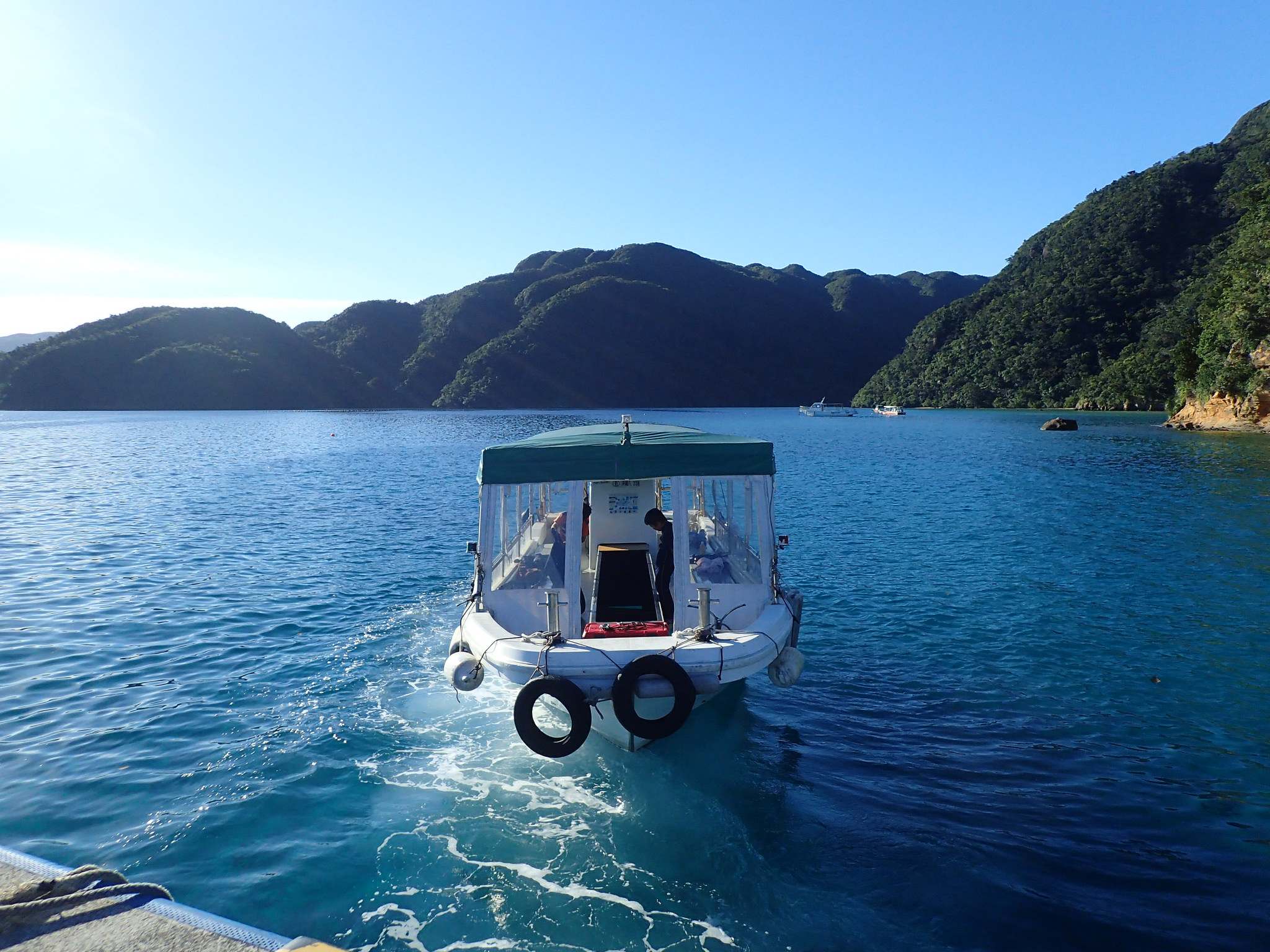
The Yaeyama Islands are an archipelago in the southwest of Okinawa Prefecture, Japan, and cover 591.46 square kilometres and consists of 10 inhabited islands and several islets. They are home to numerous species of subtropical plants and mangrove forests. The islands produce sugarcane and pineapples. Coral reefs around the islands are ideal habitats for dolphins, sea turtles, and larger fish such as manta rays and whale sharks. Ishigaki is the most populated and most developed island of the Yaeyama archipelago and serves as the region’s main transportation hub.
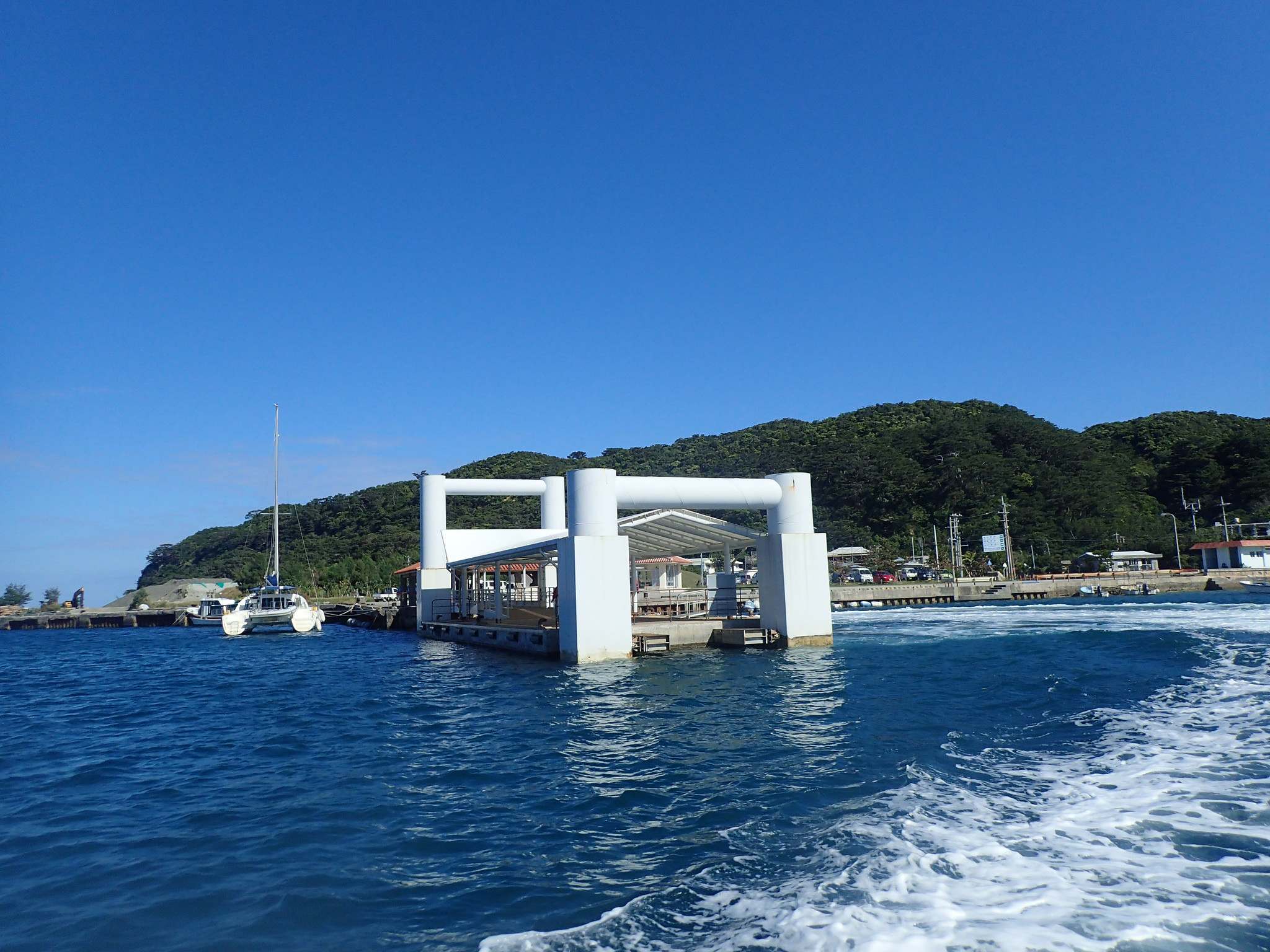
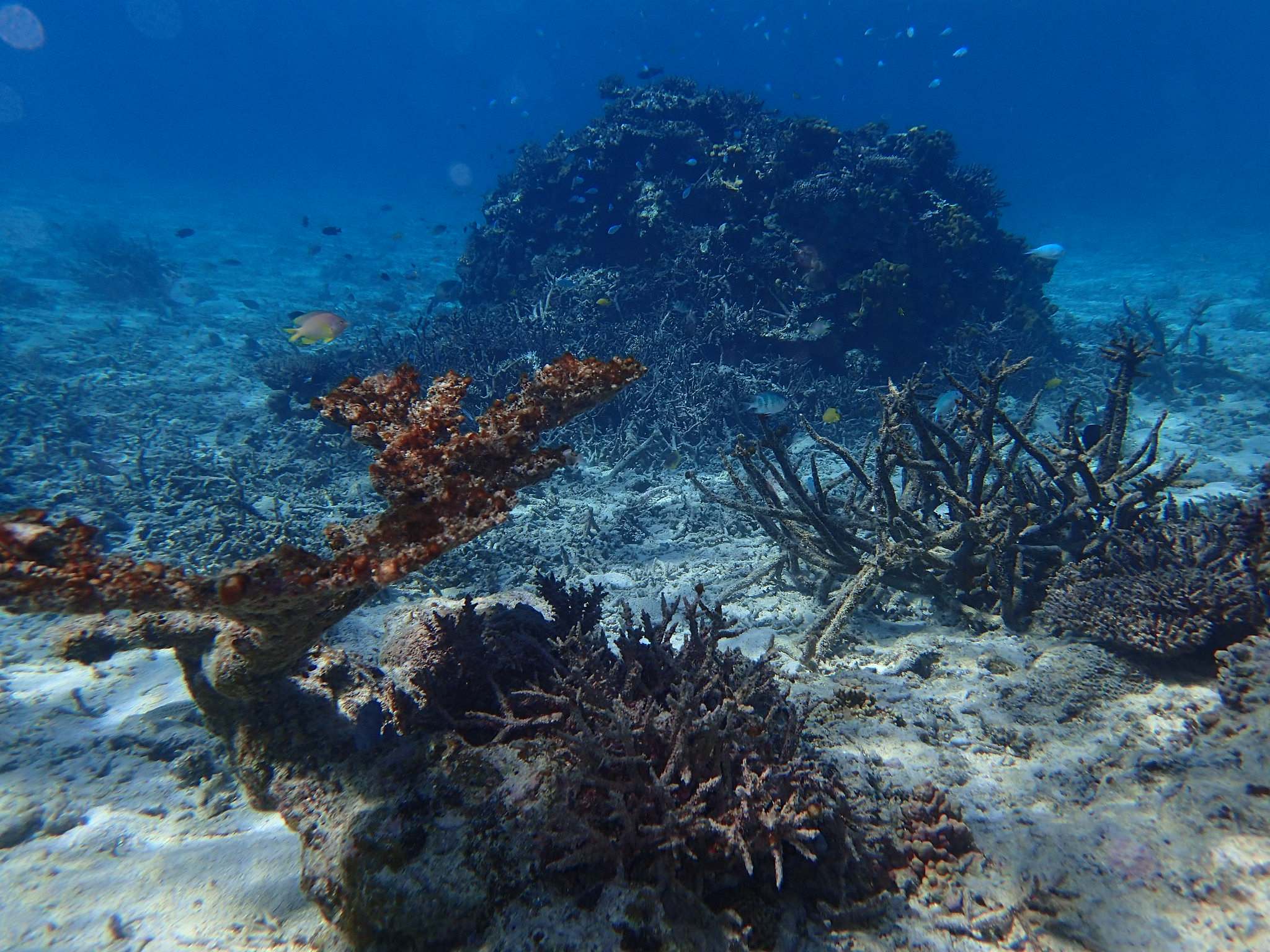
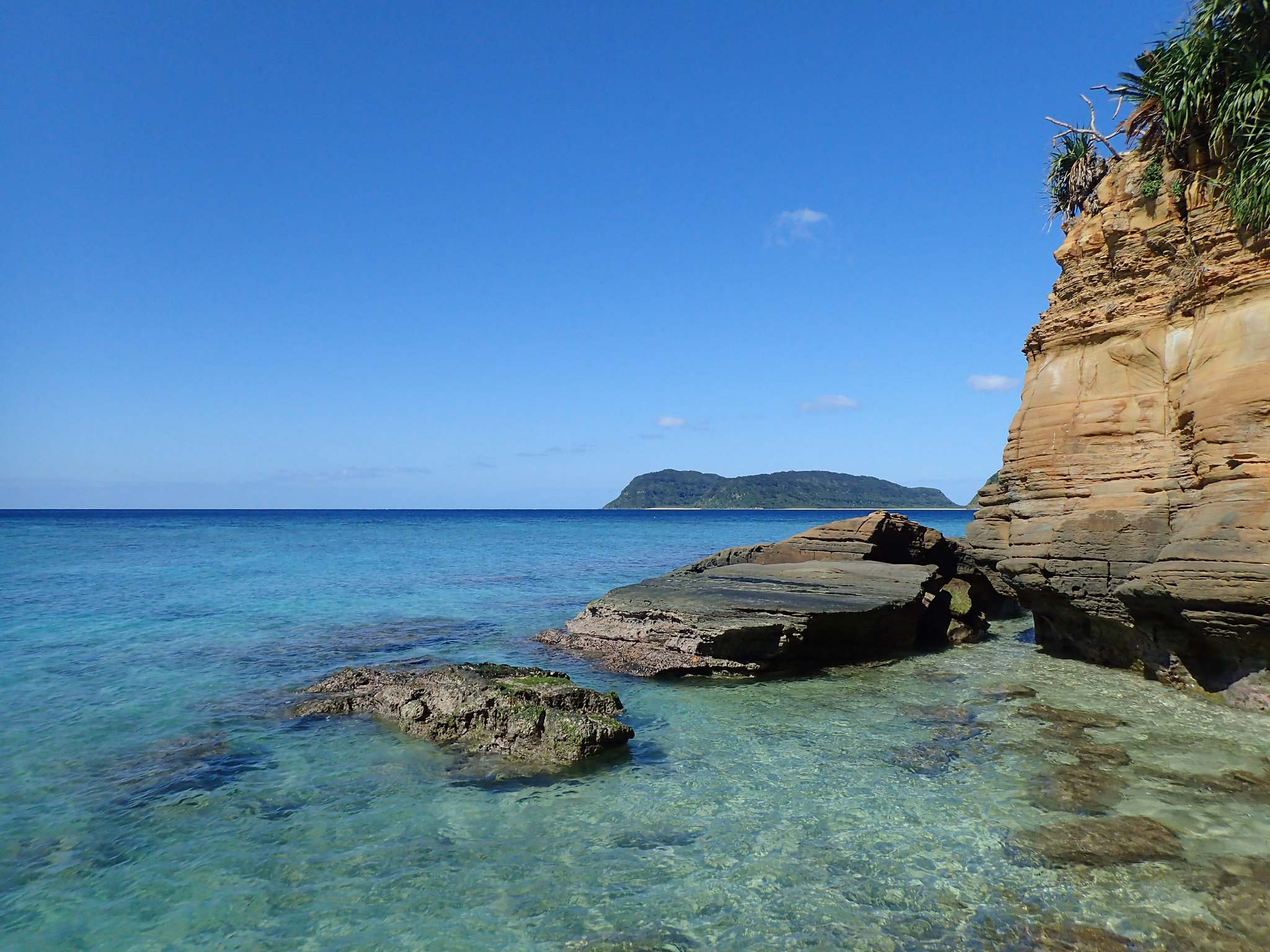
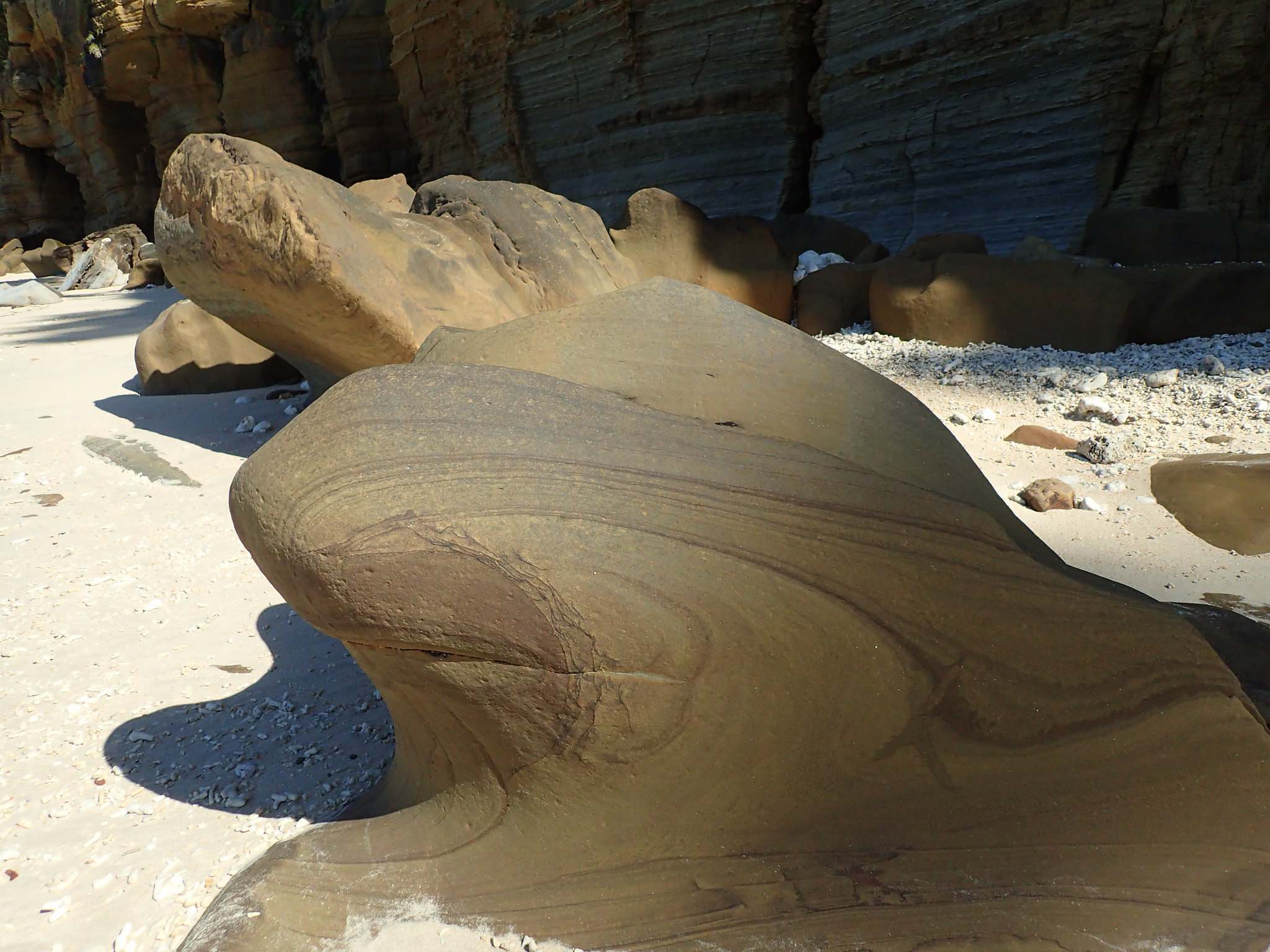
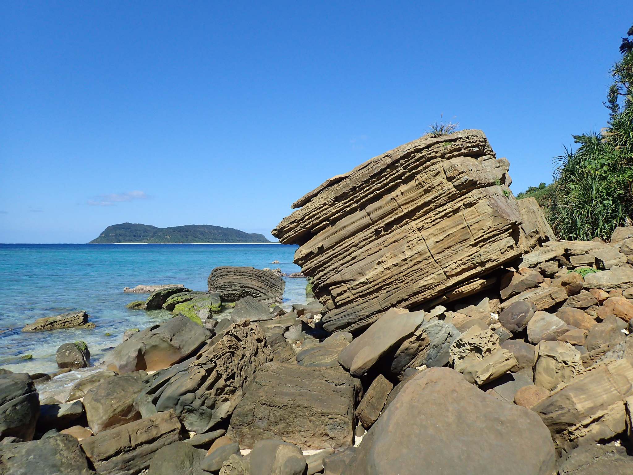
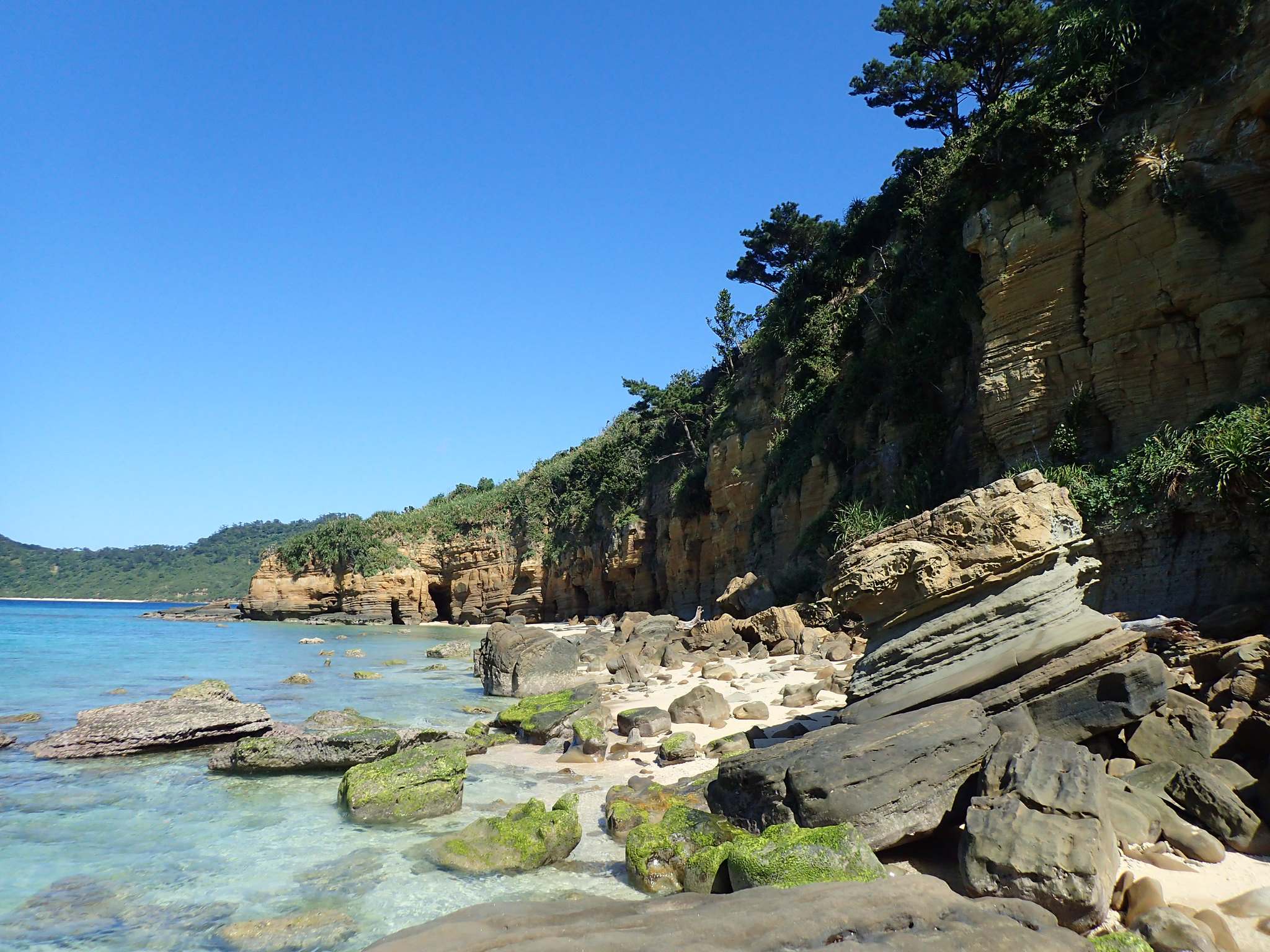
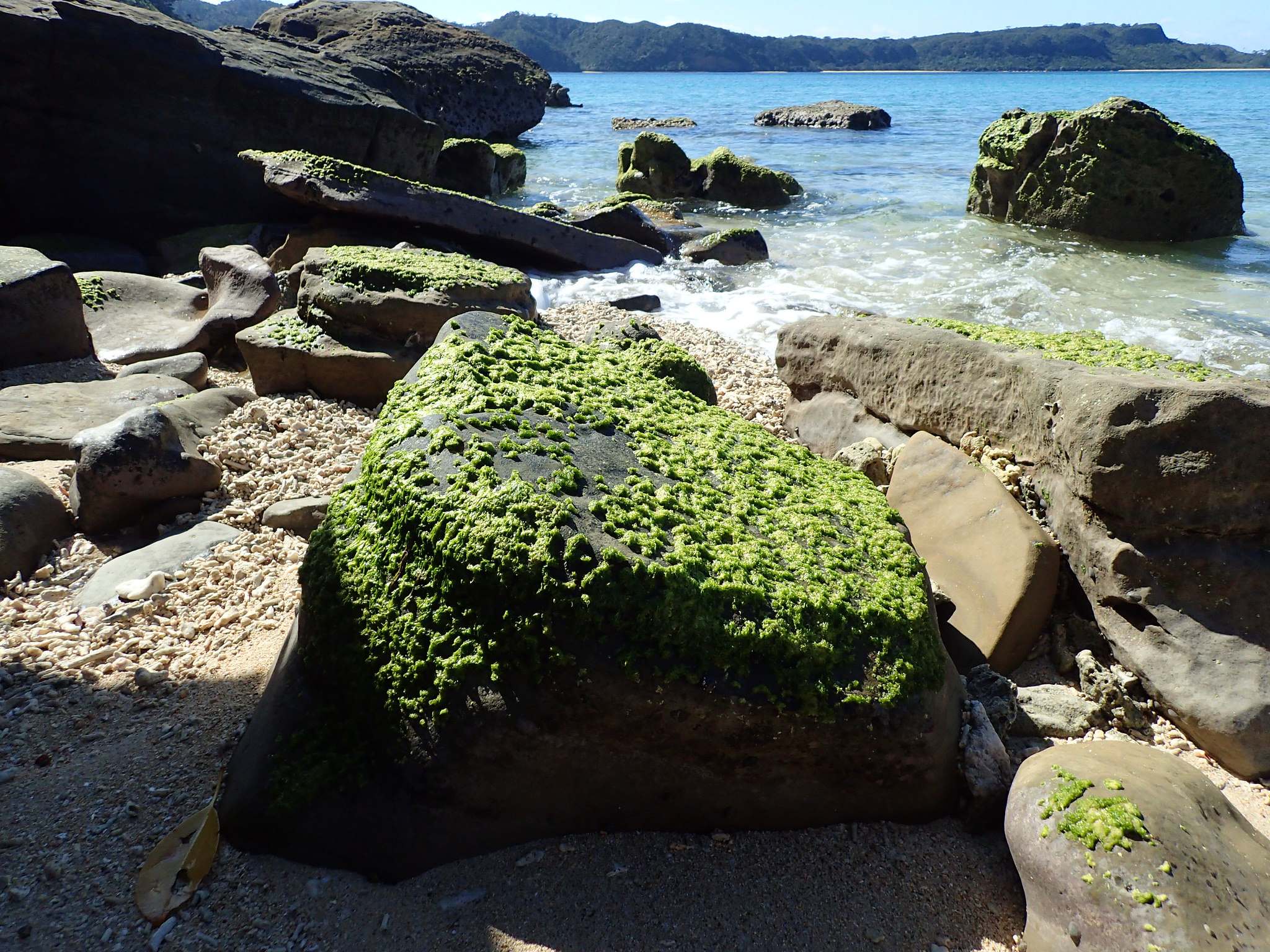
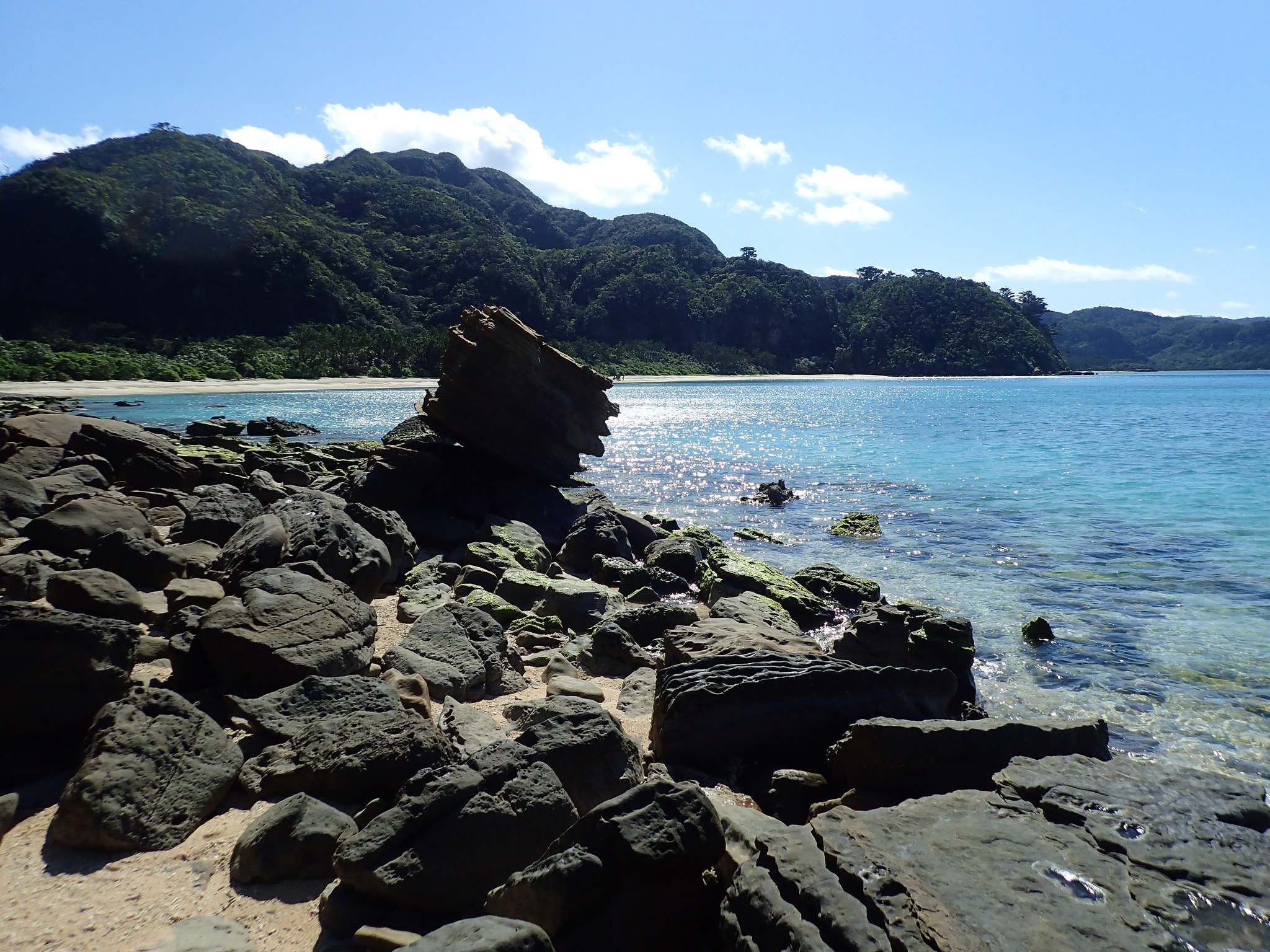
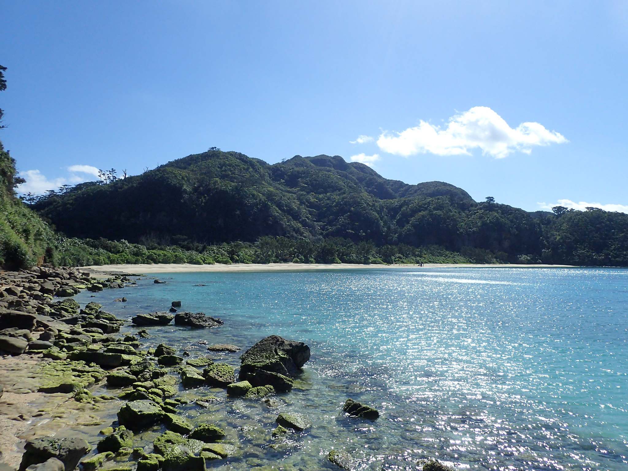
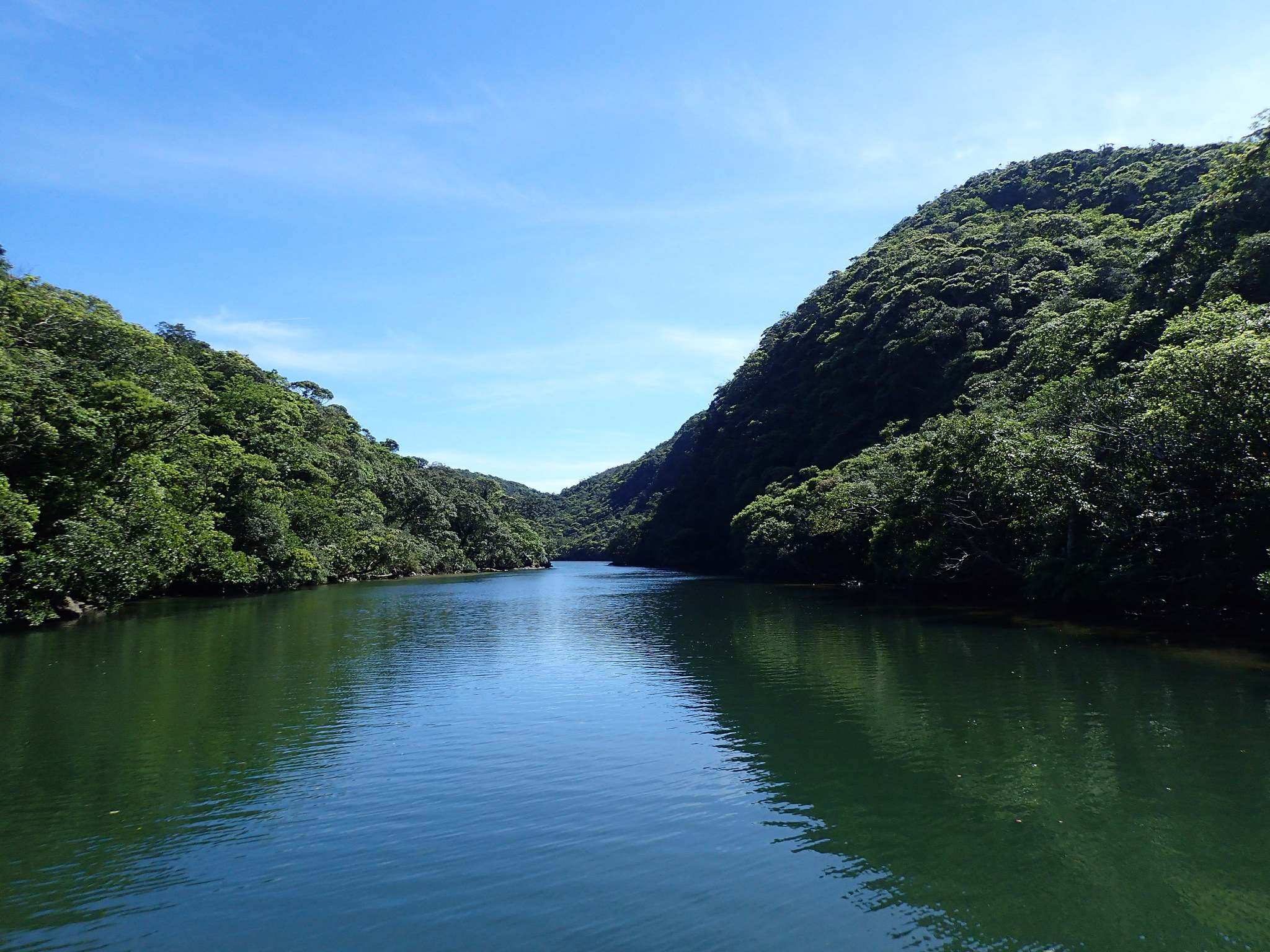
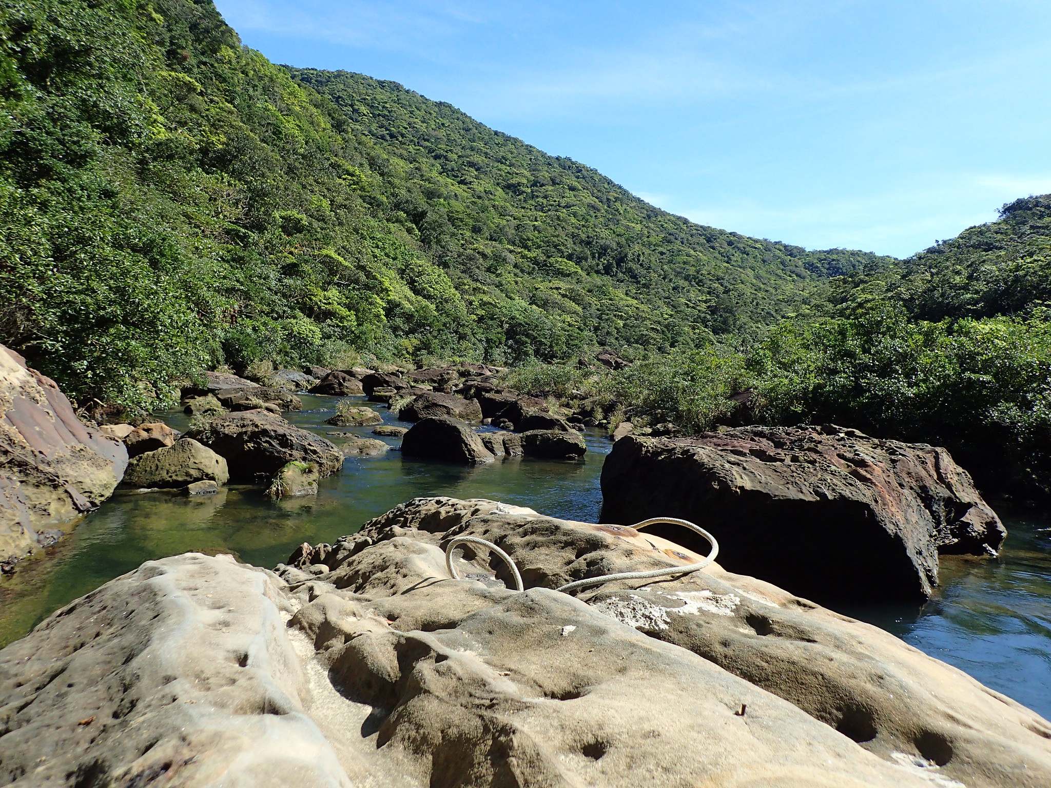
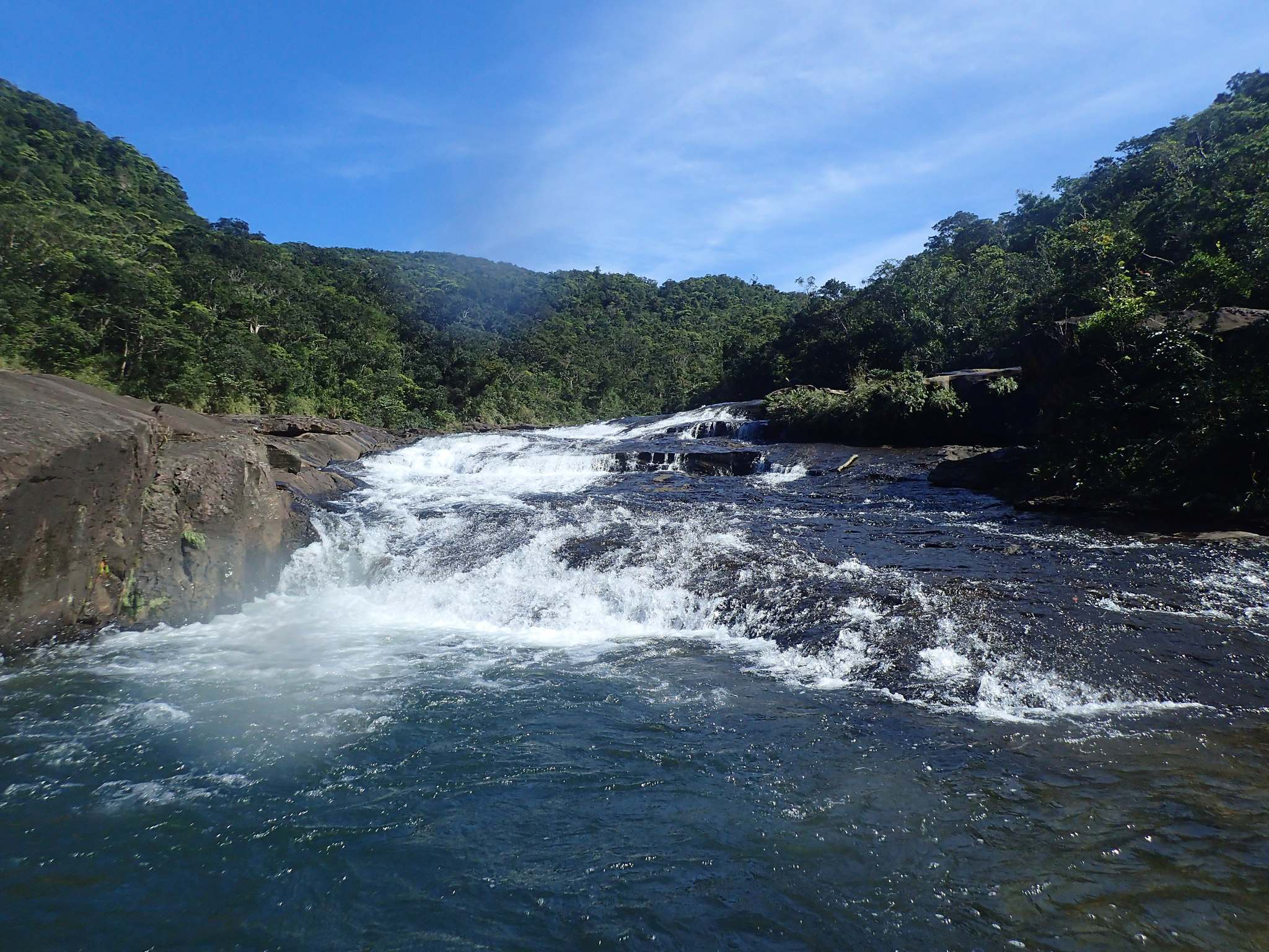
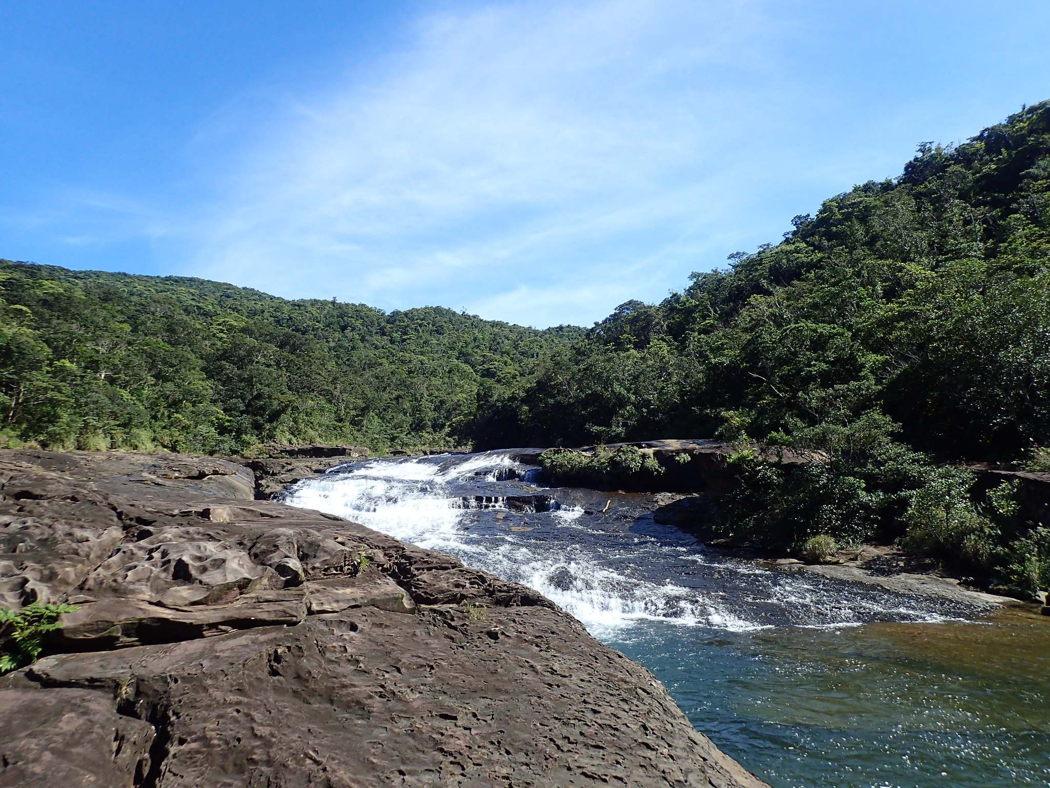
credit: Pierre Bear
Tags: bluff, coral reef, Creek, Islands, Japans, Landscape, ridge, riverbed, rock formation, seasid, shokusan, Shore, Treasure, Yaeyama, Yaima Okinawan
Relevant Articles

The town of Las Médulas is located in the region of El Bierzo, Leon. This small mountain town marks the natural beginning of the ascent towards Las Médulas, a unique cultural landscape that was declared a World Heritage by UNESCO. It is a historic mining site near the town of Ponferrada in the region of El Bierzo, which used to be the most important gold mine in the Roman Empire. To extract gold, the Romans built seven huge aqueducts which drew the rivers in the nearby mountains down into the mine, burying the area underwater. After two centuries of work, the Romans abandoned the site, leaving it in its current shape.

credit: Sergio RC
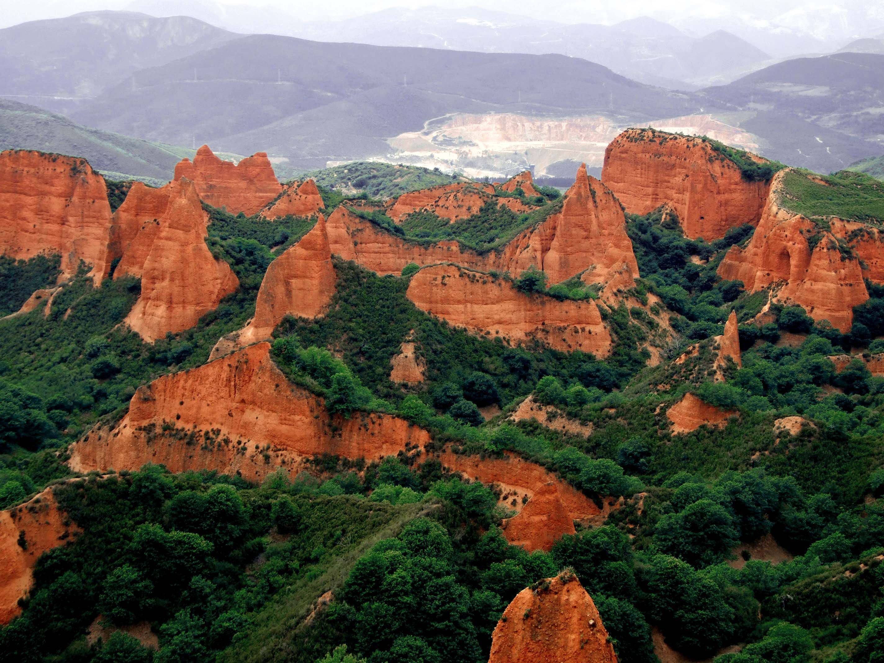
credit: epigordito
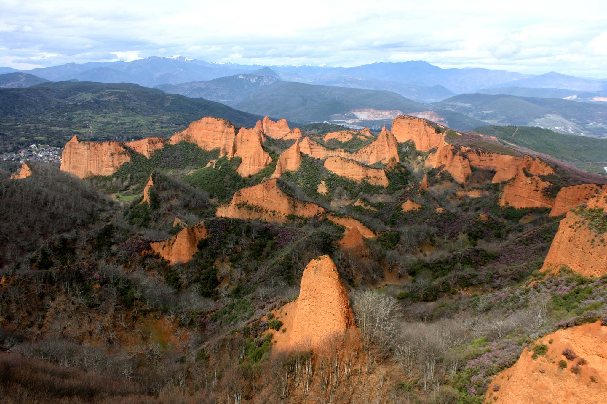
credit: Trevor.Huxham
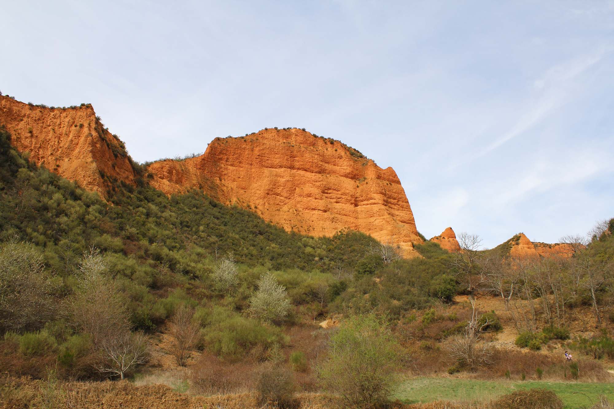
credit: Contando Estrelas
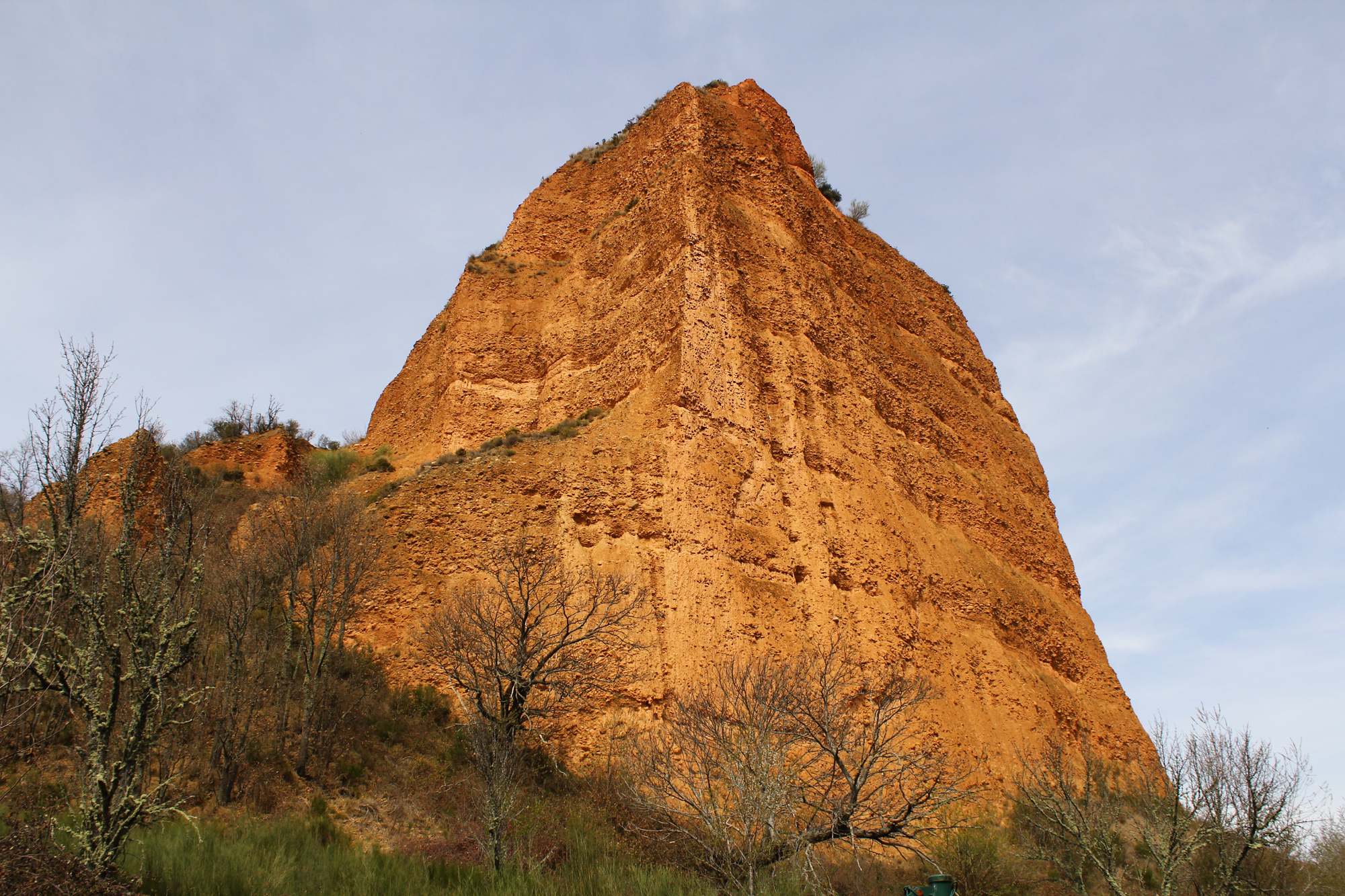
credit: Contando Estrelas
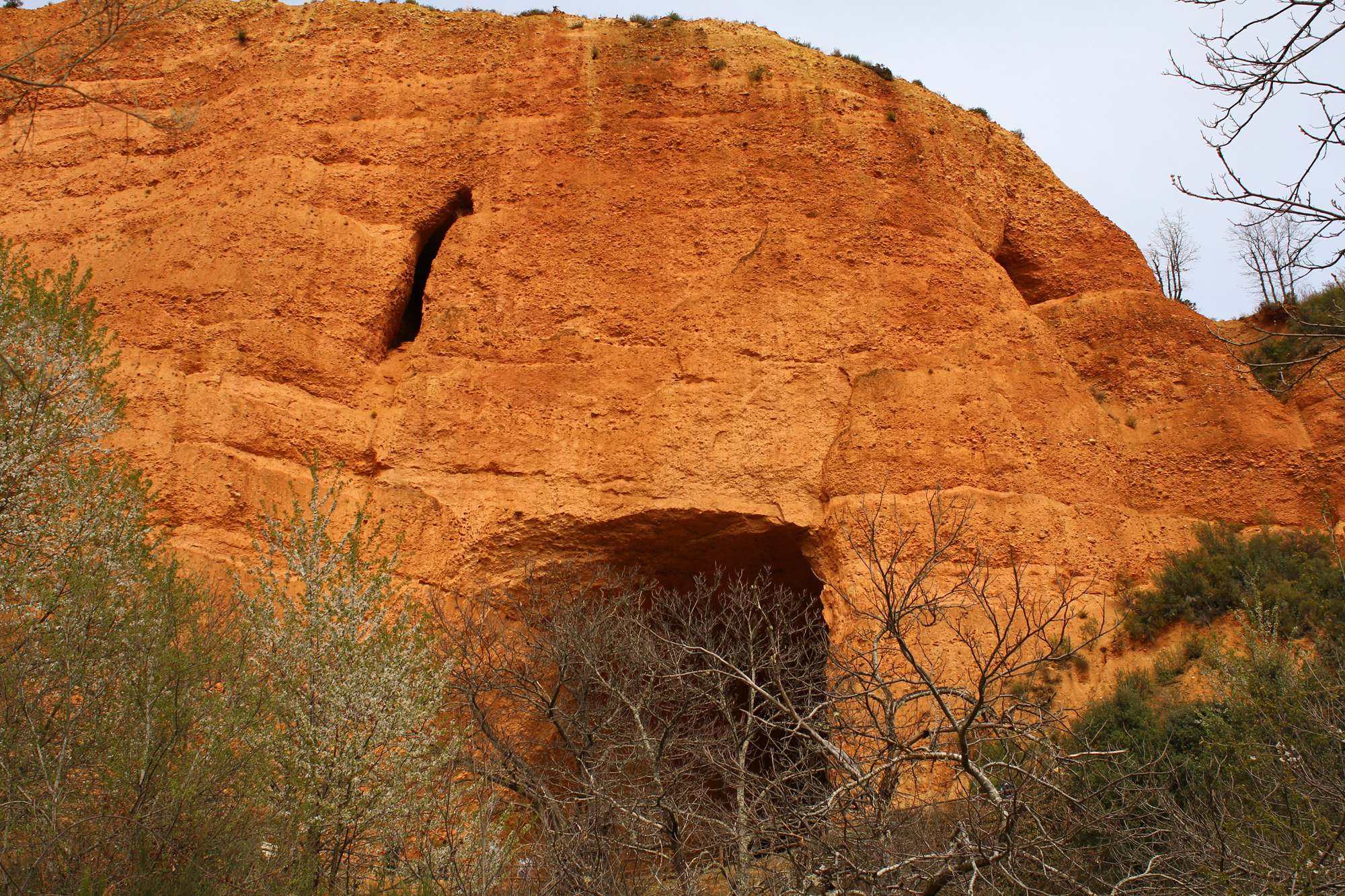
credit: Contando Estrelas
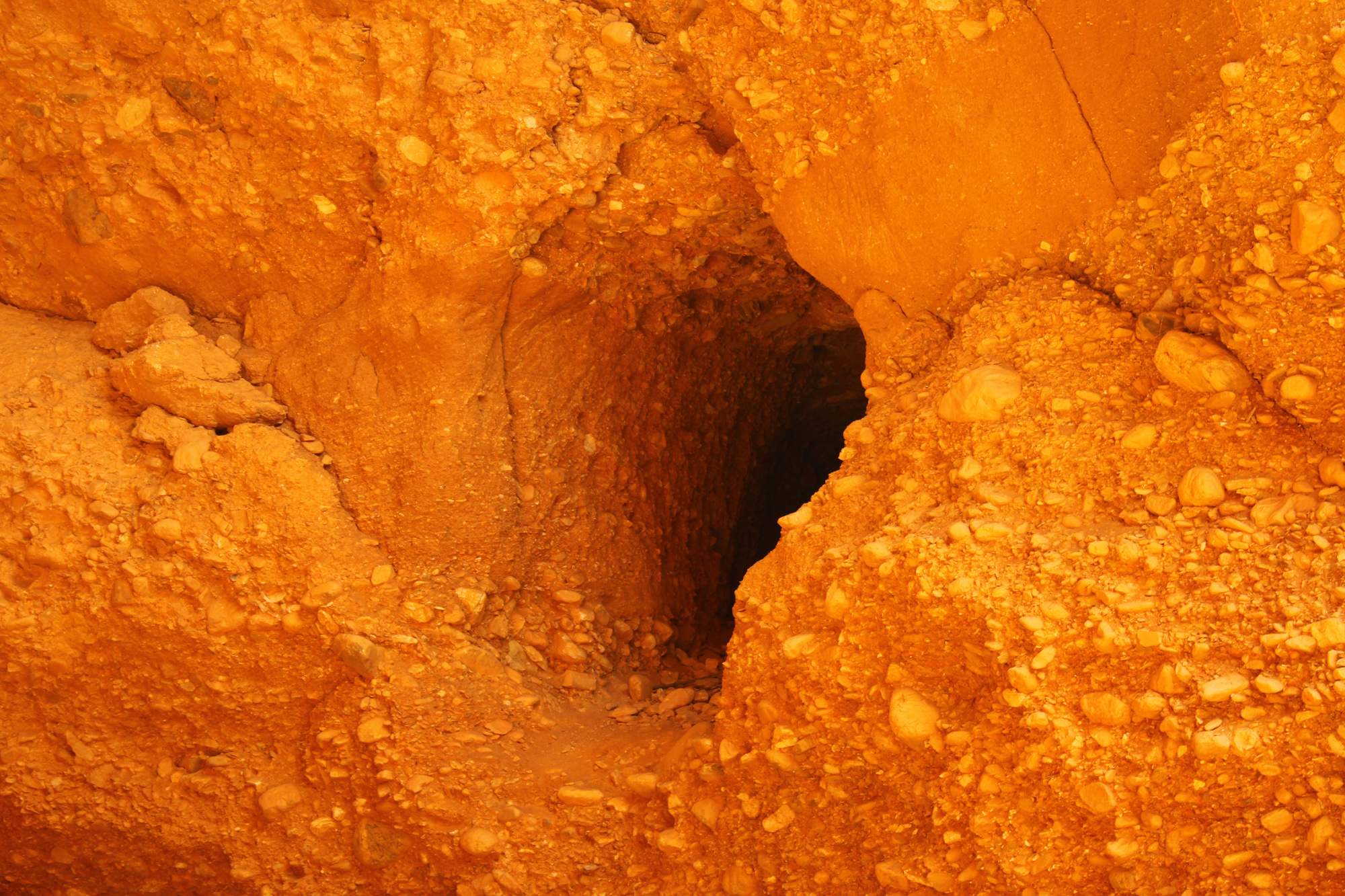
credit: Contando Estrelas
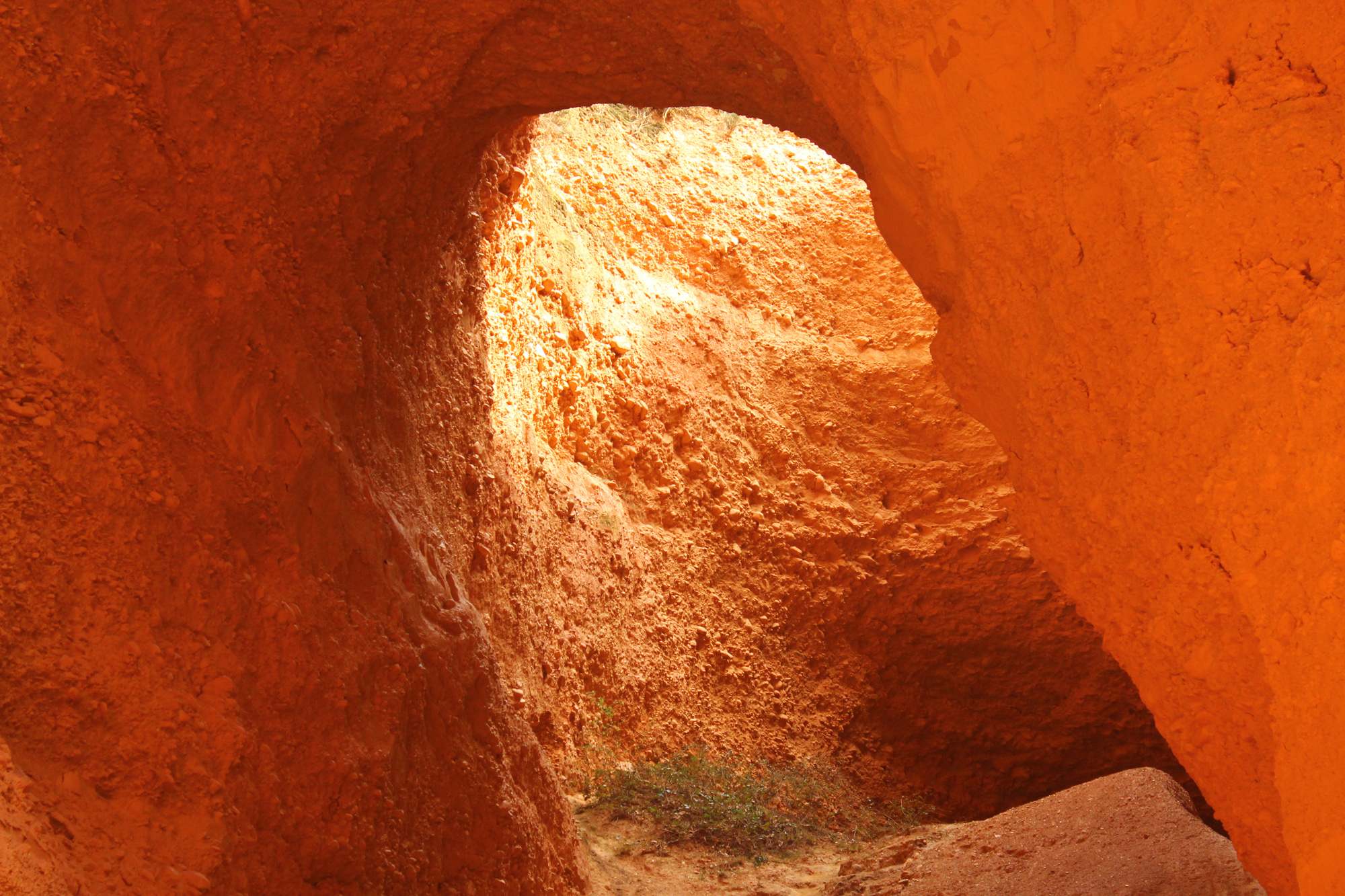
credit: Contando Estrelas
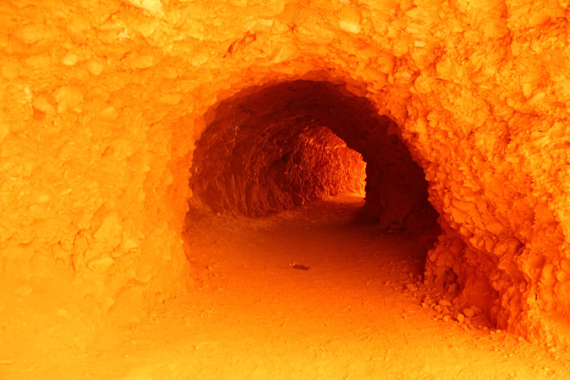
credit: Contando Estrelas
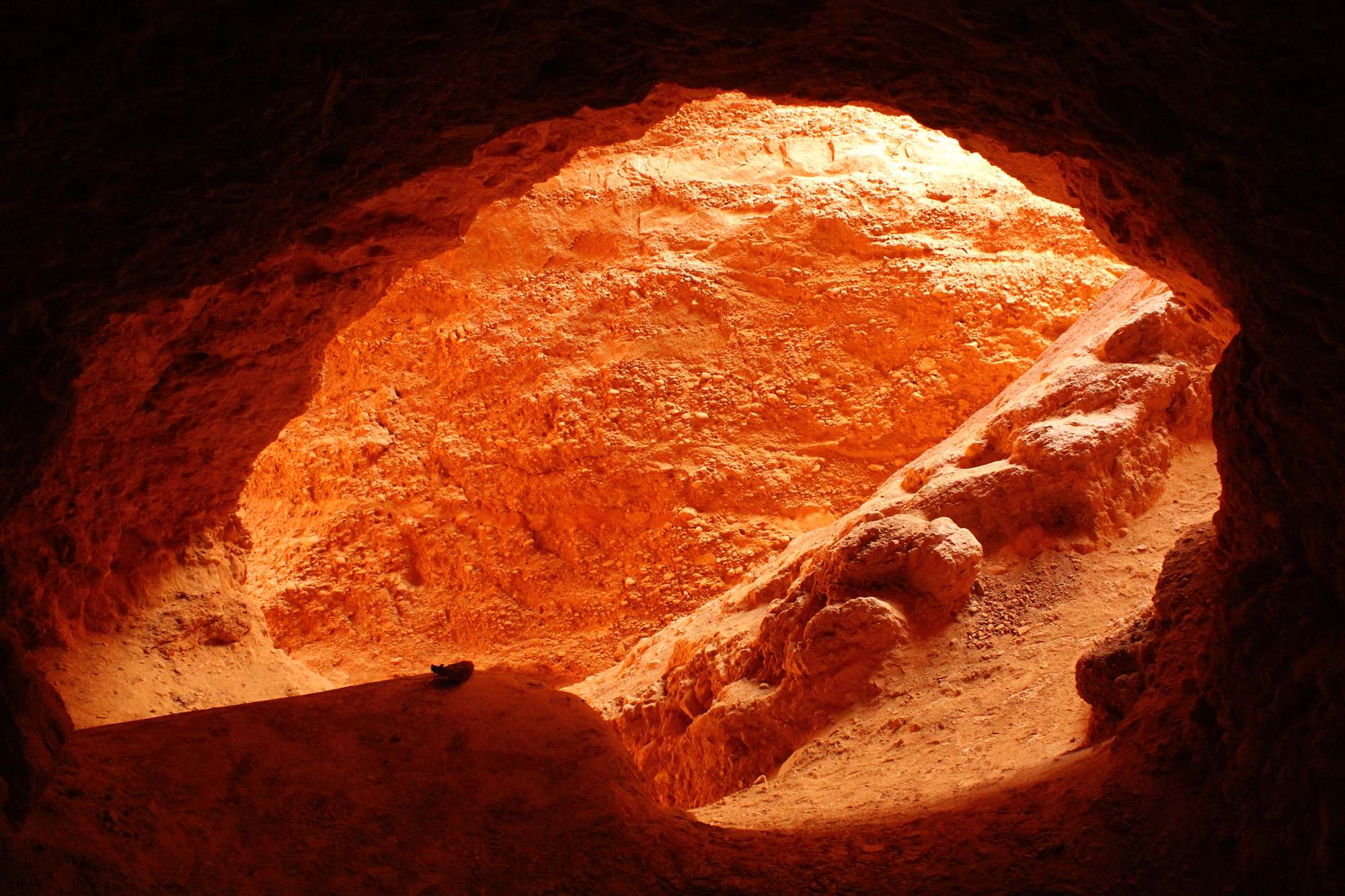
credit: Contando Estrelas
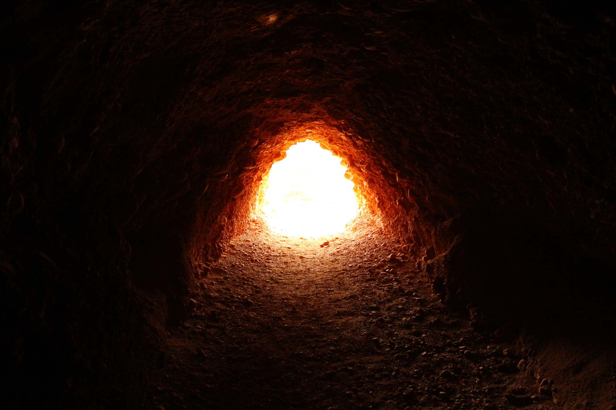
credit: Contando Estrelas
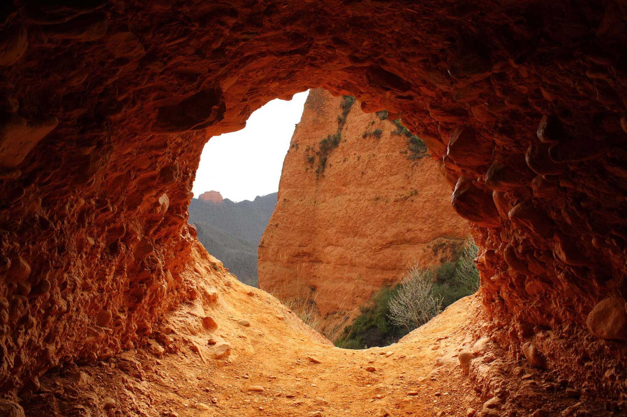
credit: Contando Estrelas
Tags: Landscape, Las, las-medulas, Medulas, Ponferrada, provincia-leon, roman empire, Spain, Spectacular, UNESCO World Heritage
Relevant Articles
Happisburgh is a historic village on the north-east coast of Norfolk. It is well-known for its wonderful sandy and quite secluded beach. You can walk for miles on this beach, as far as Sea Palling if you wanted to. At the end of the south beach you reach Cart Gap, which is where the lifeboat is now stationed, having previously been at Happisburgh beach before all the coastal erosion.
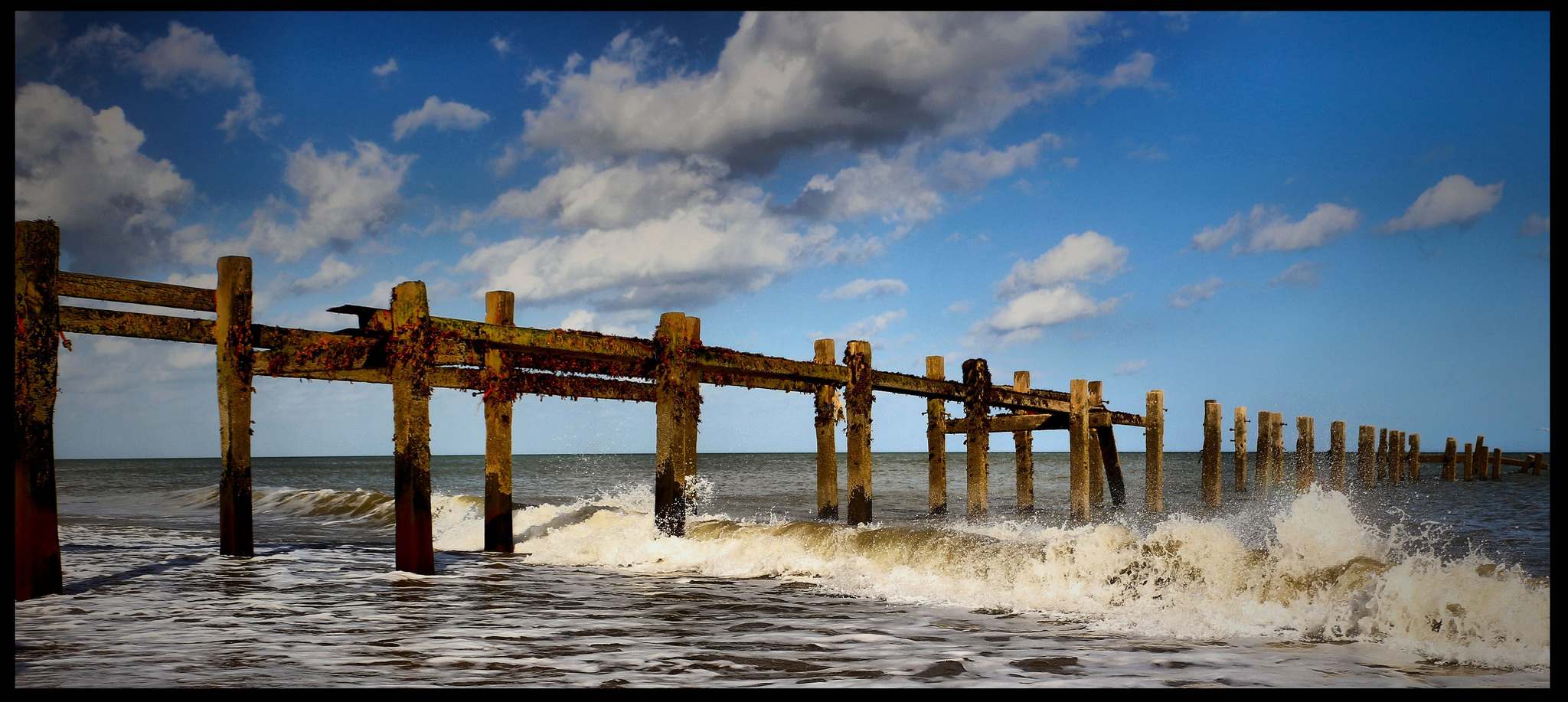
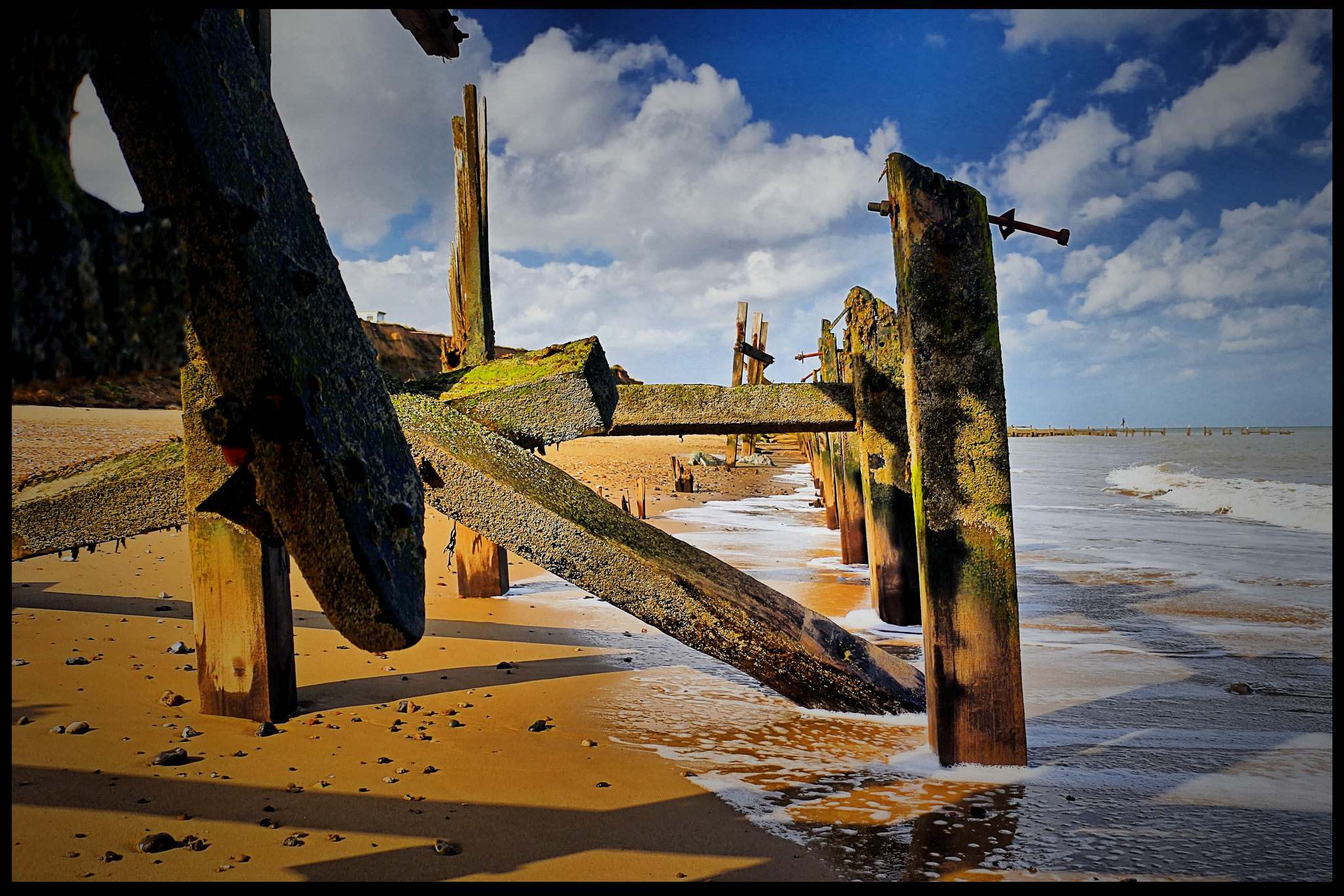
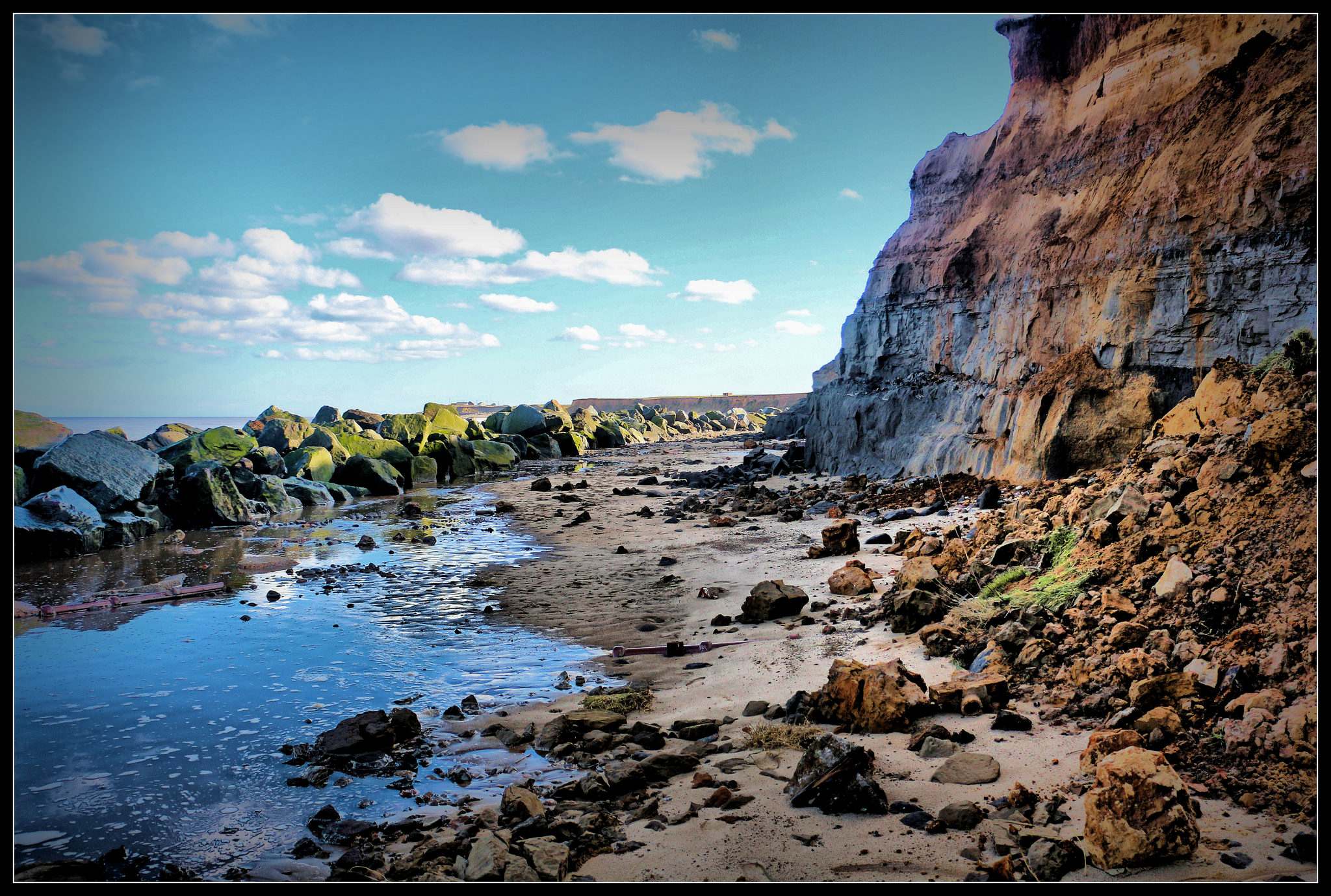
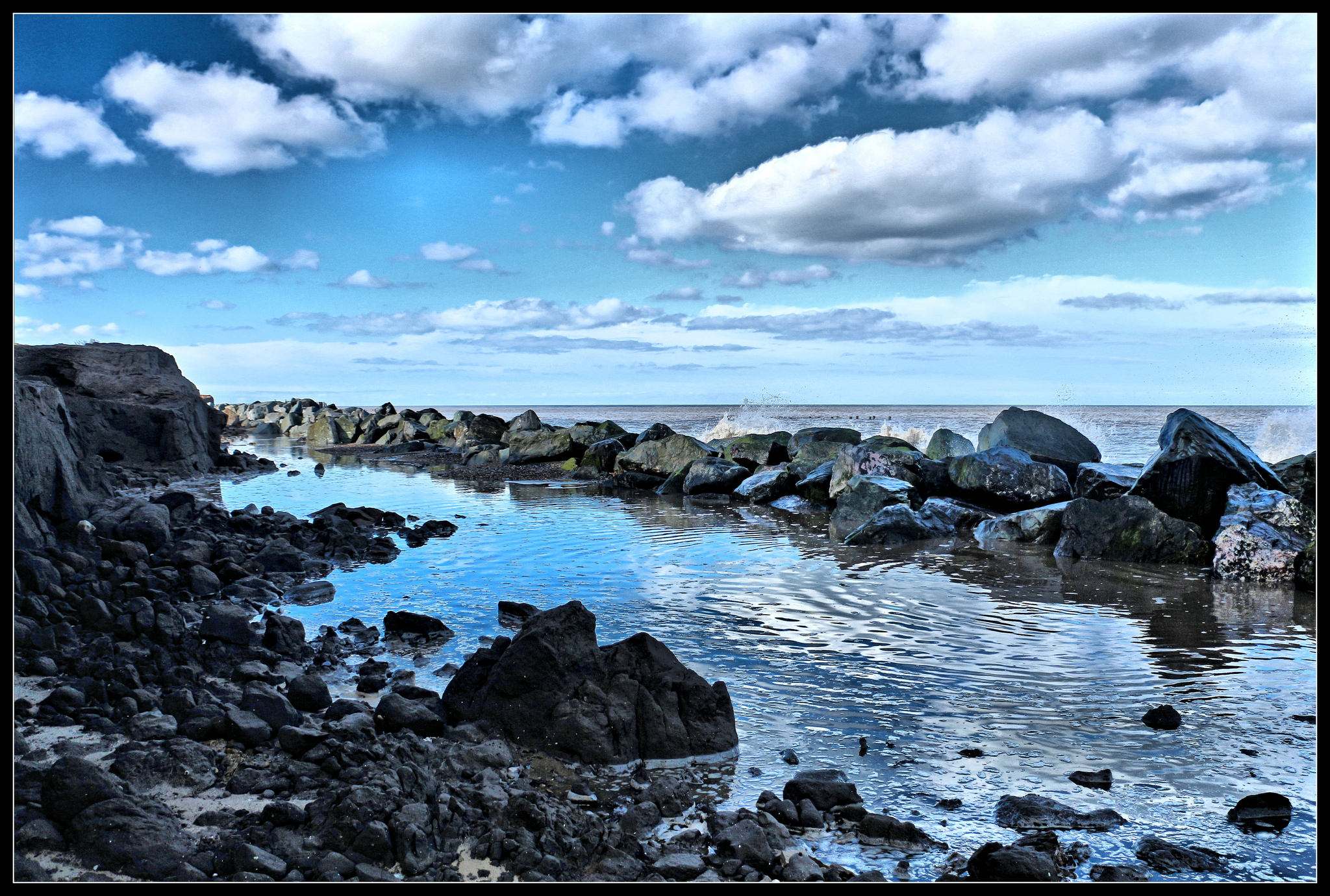
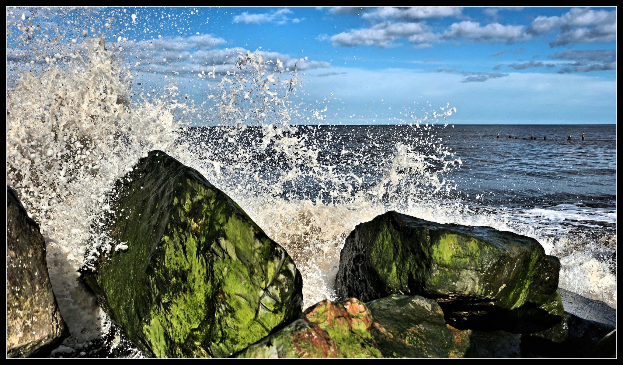
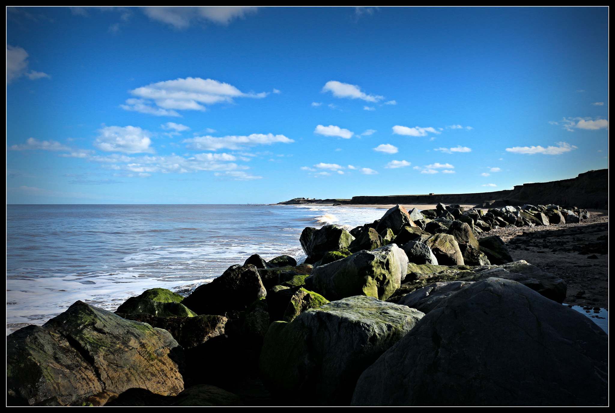
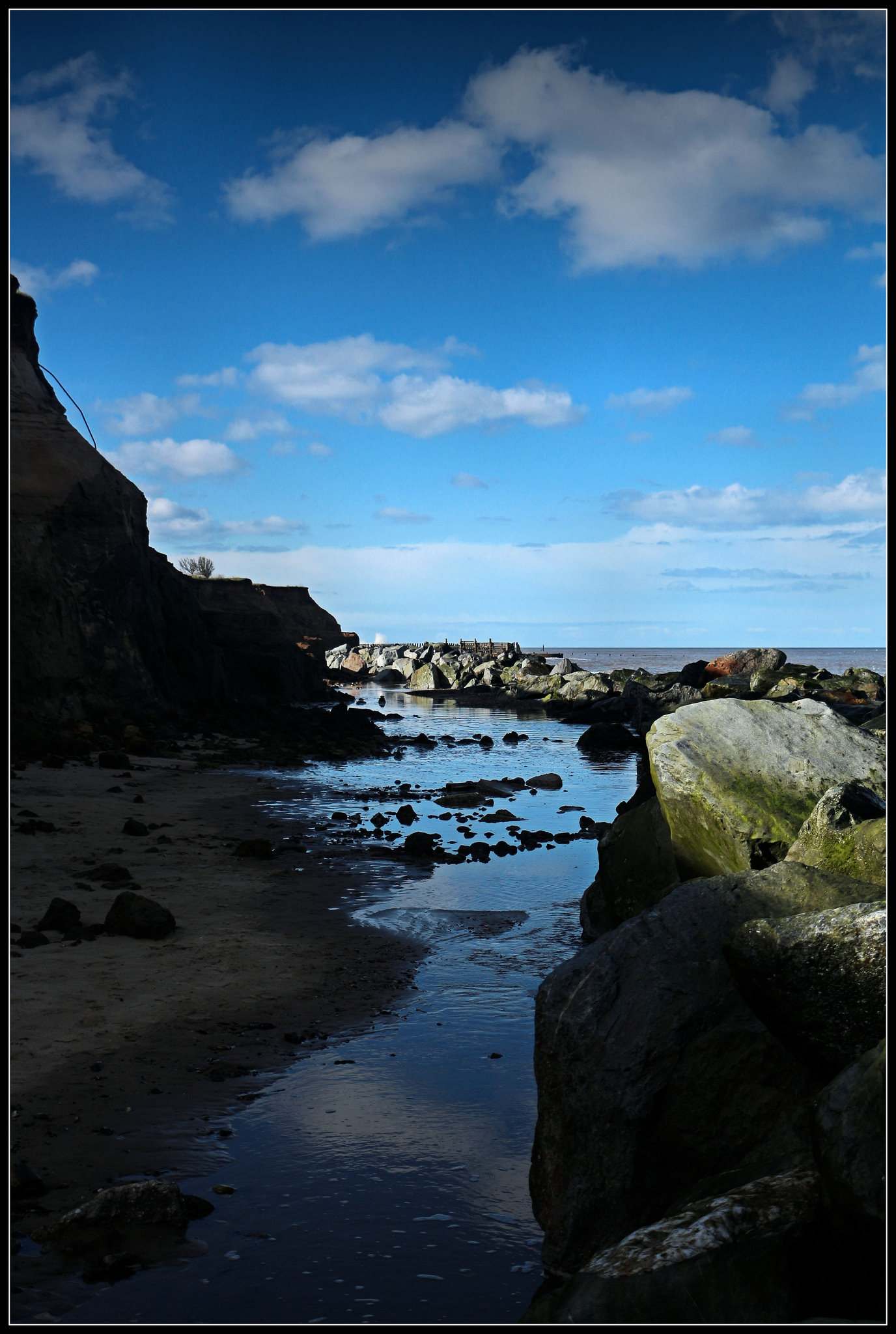
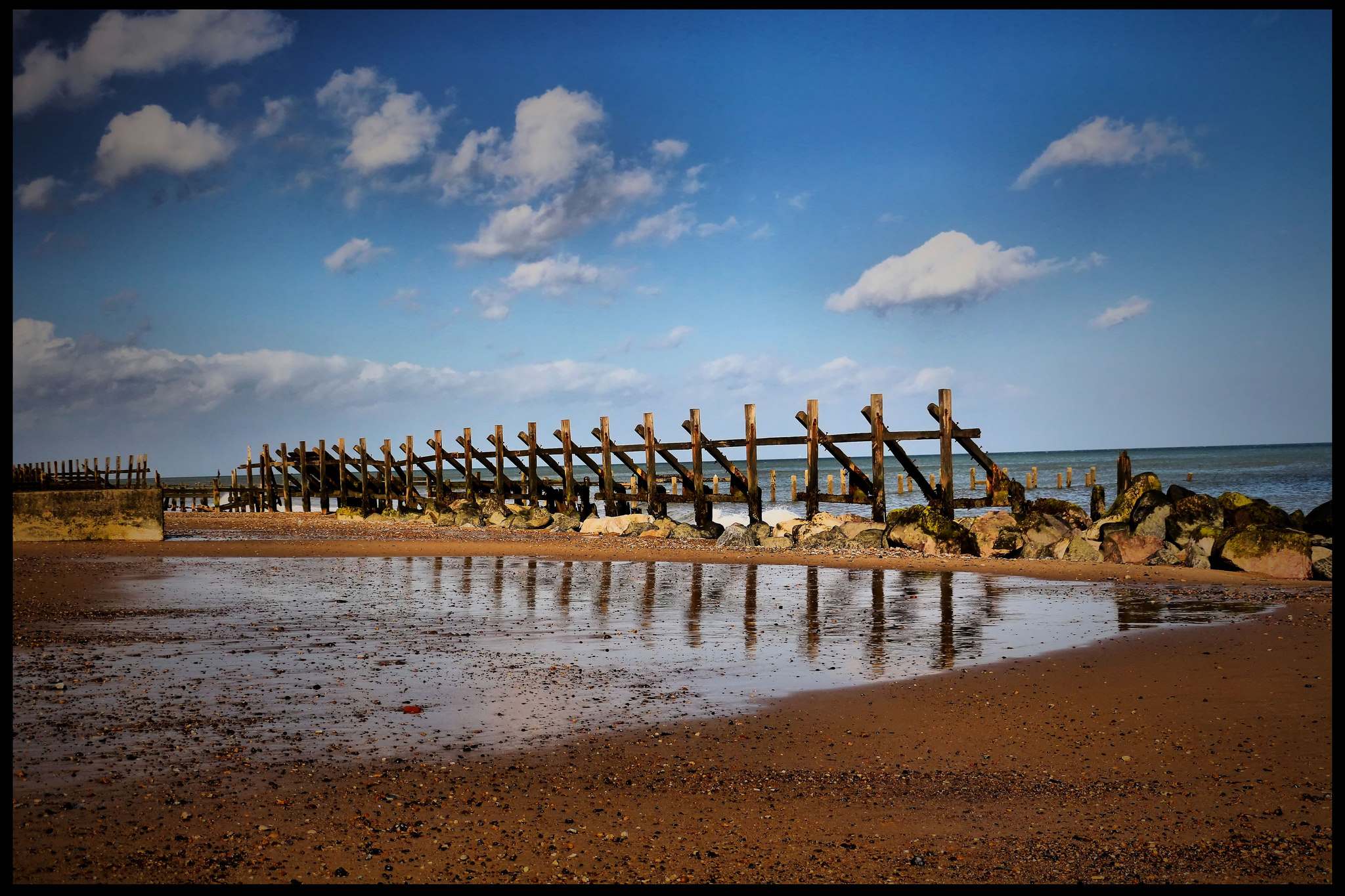
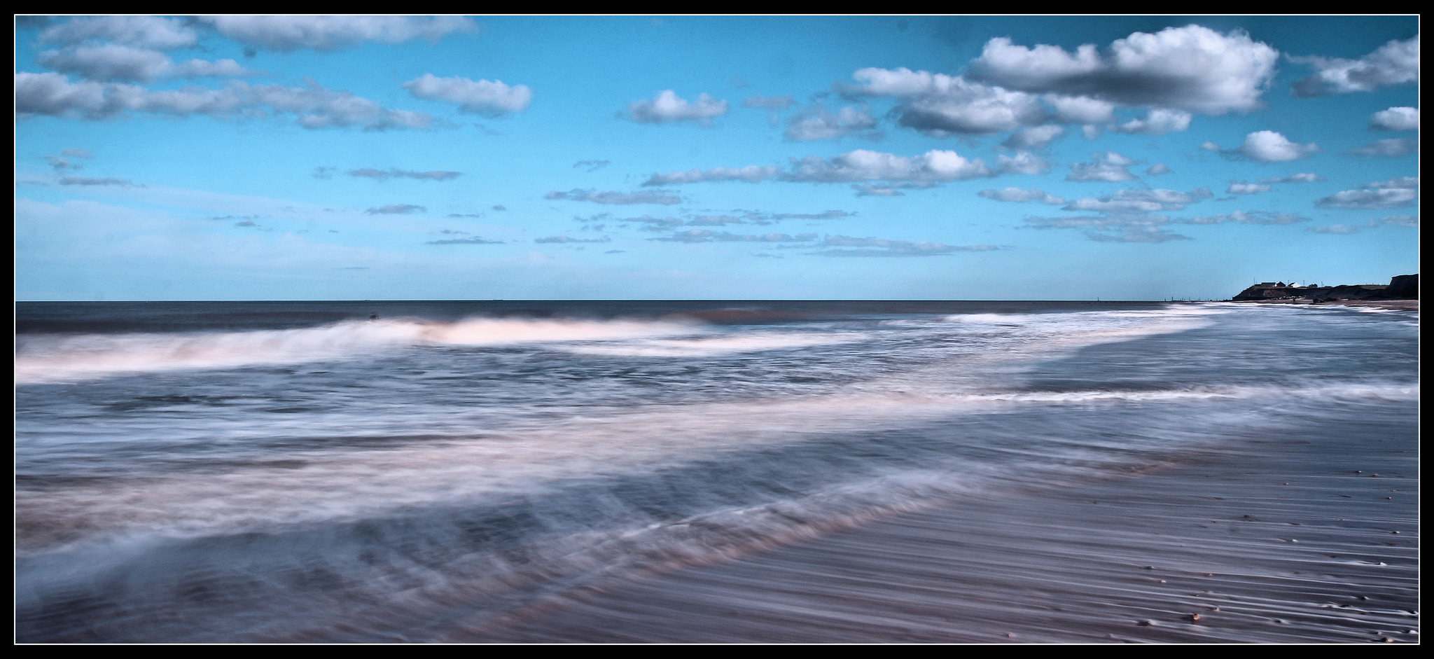
credit: Mike__Lawrence
Tags: Beach, Beach defences, beach_wallpapers, Happisburgh, Happisburgh Beach, Haysbrough, Landscape, Norfolk, Norfolk Beach, photo border, rocks, sea coast, seaside, Shore, Wallpapers
Relevant Articles
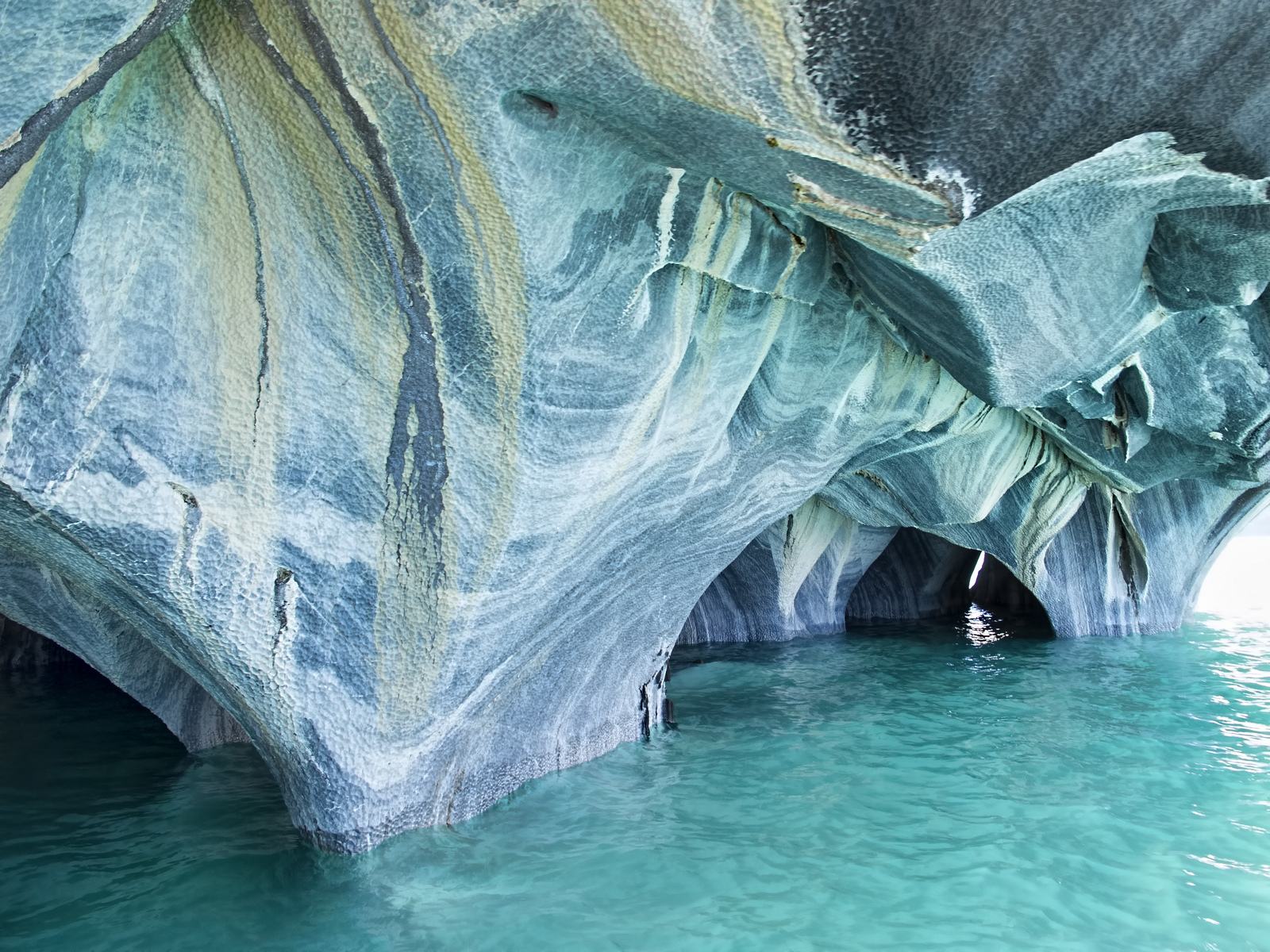
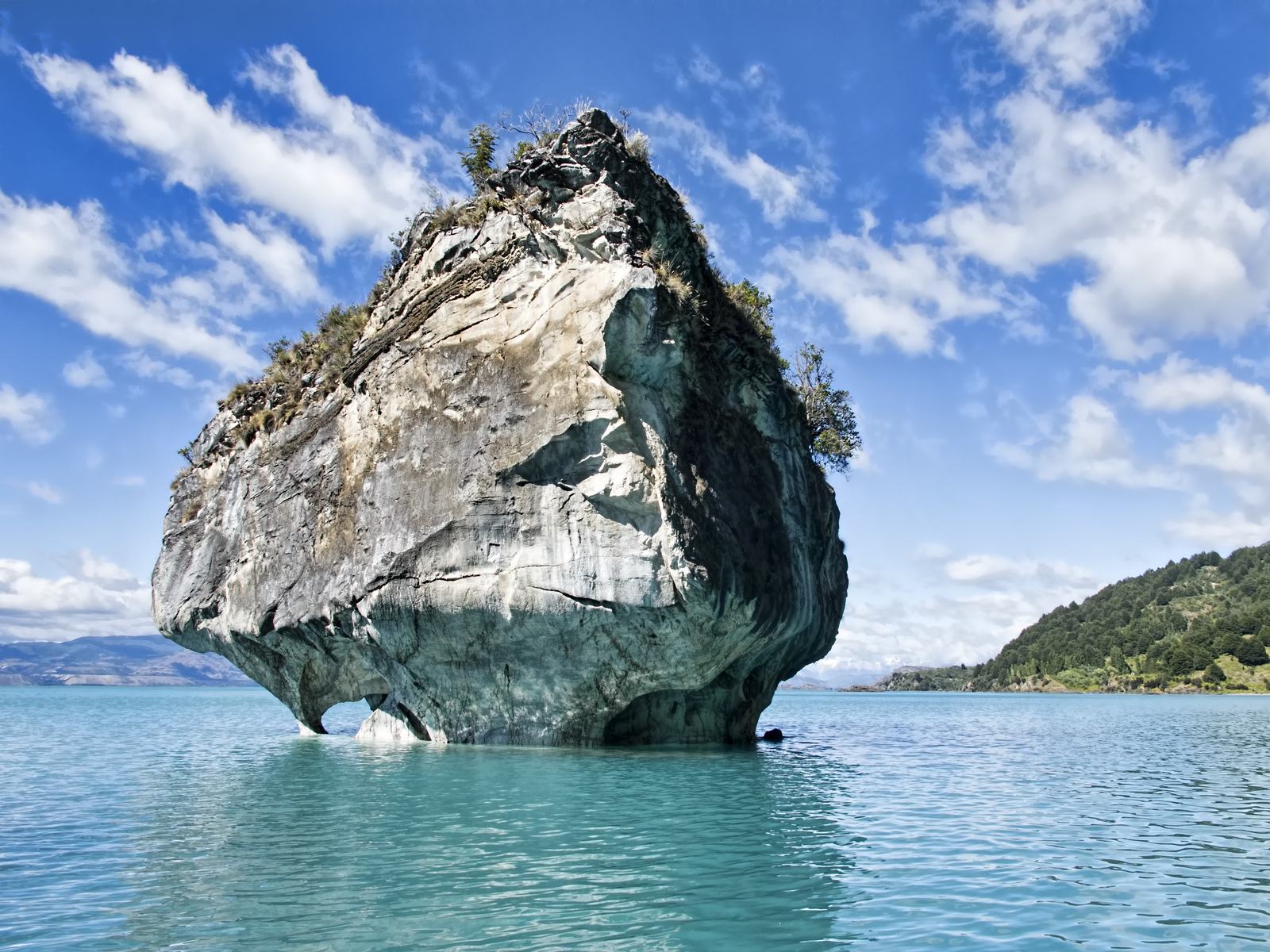
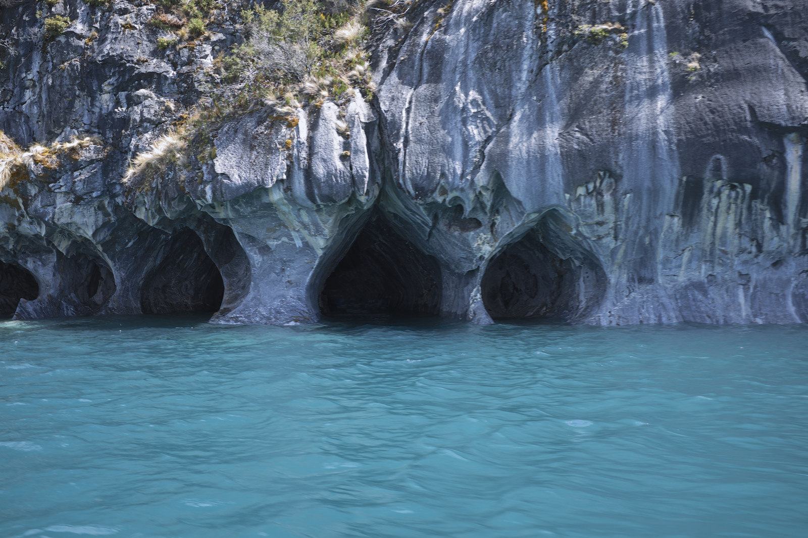
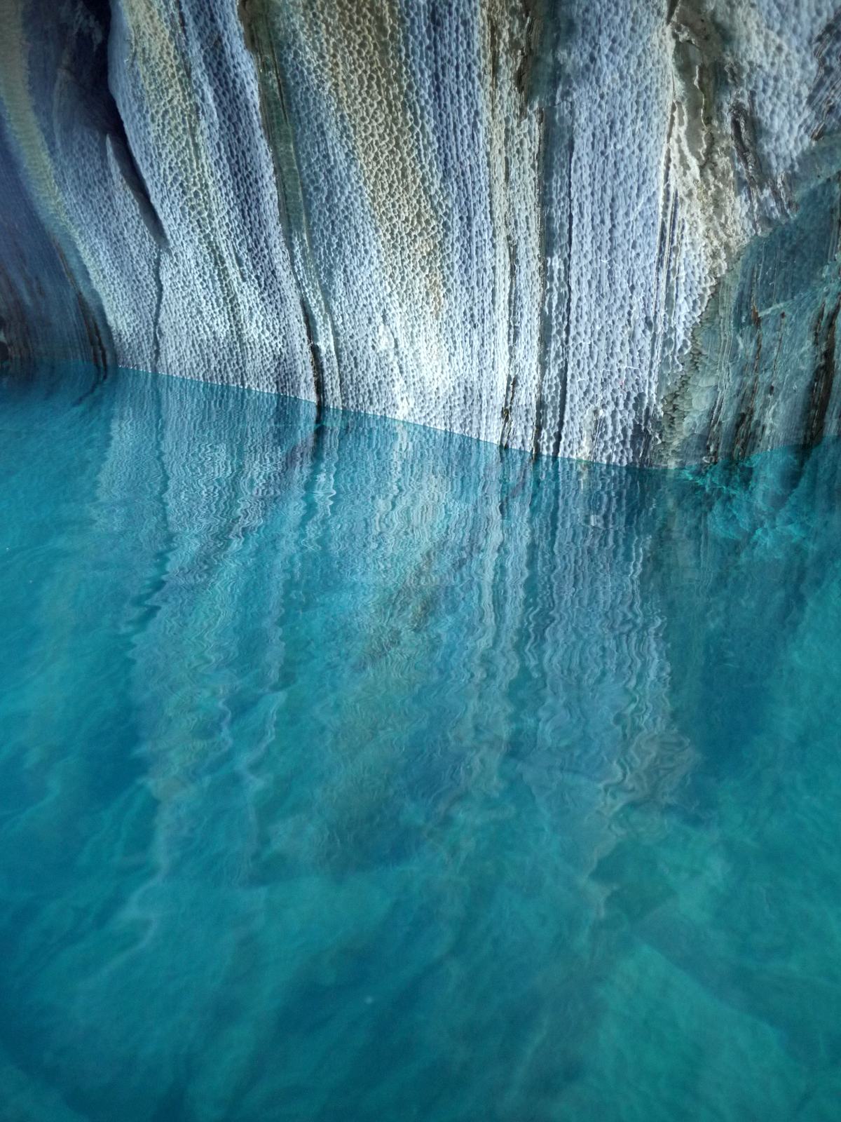
This spectacular Marble Cathedral is set in the General Carrera lake in Chile’s Patagonia – the second largest freshwater lake in South America. The caves are on the Chilean side of the lake. The Cathedral and the Caves are a unique geological formation featuring a group of caverns, tunnels and pillars created in monoliths of marble and formed by waves over the last 6,000 years. The level of water in the caves is constantly changing, which also makes it look every time a new way. This Caves attract a lot of tourists from the different corners of the globe.
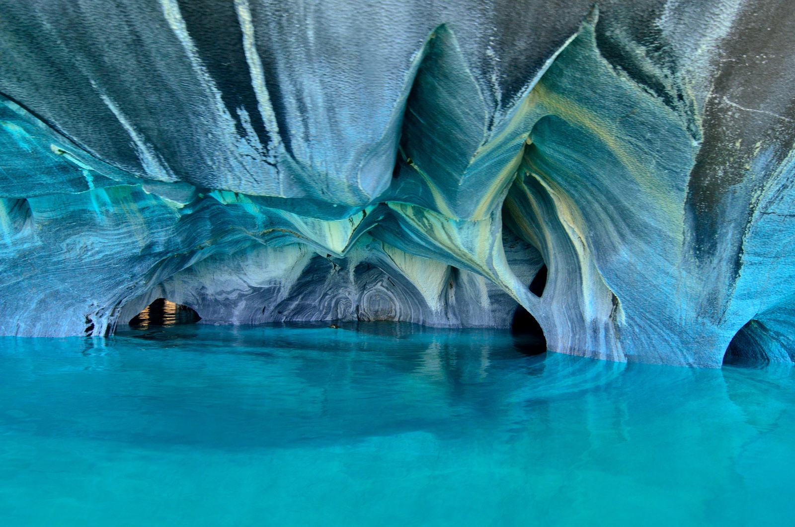
credit: Javier Vieras
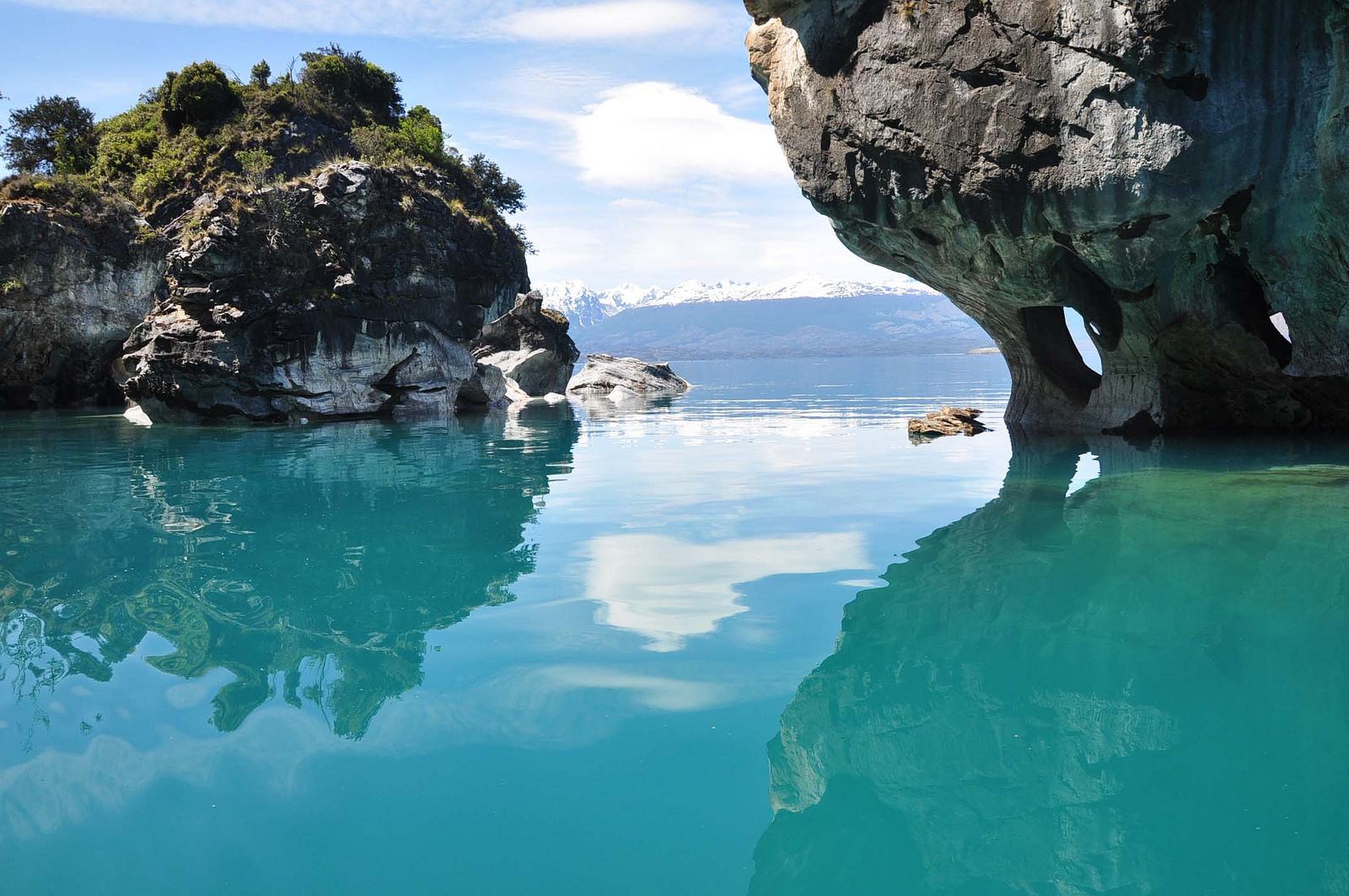
credit: Paula Christensen
credit: Dan Lundberg
credit: Dan Lundberg
credit: Dominic Sagar
credit: Gabriel White
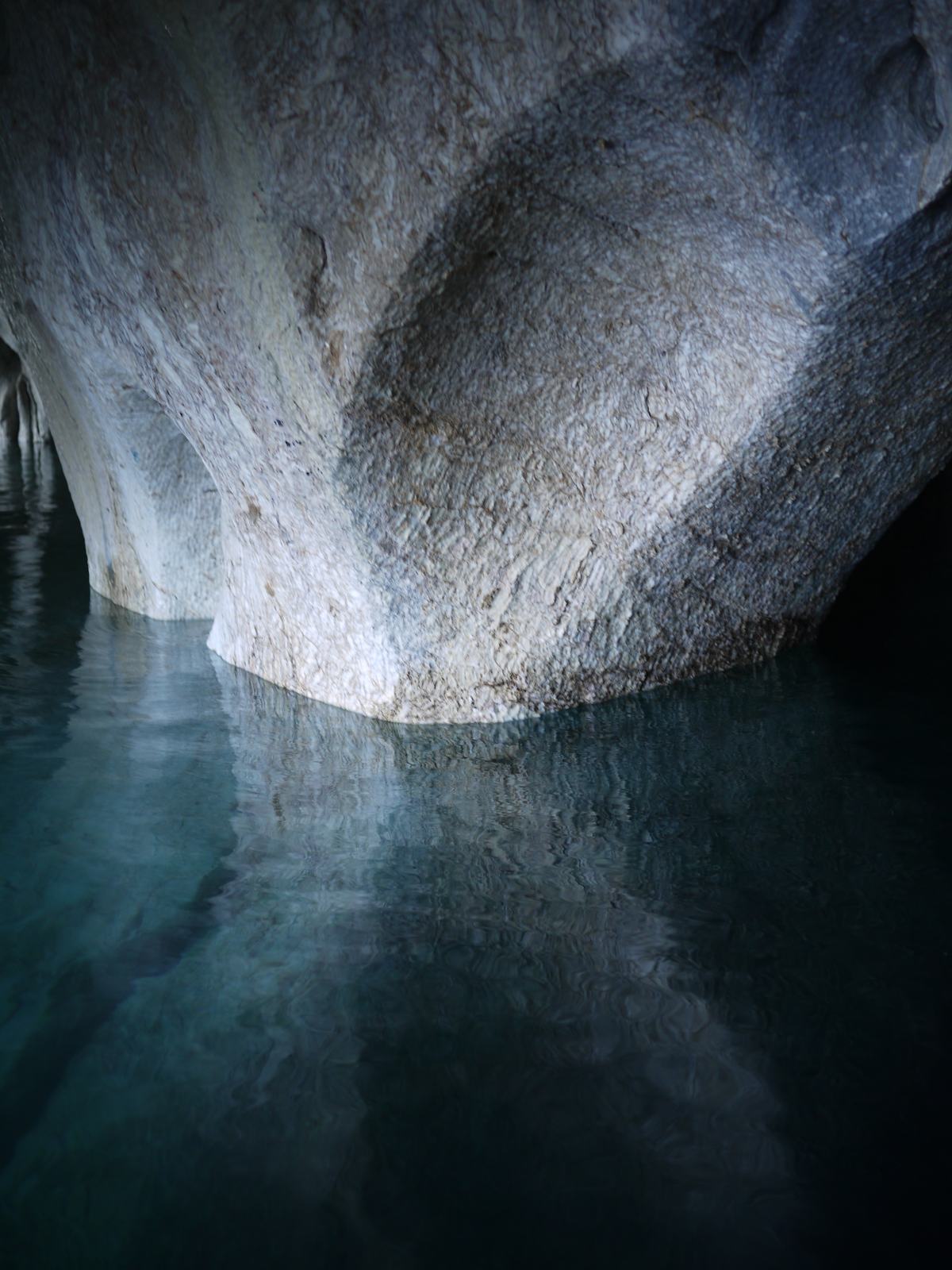
credit: Gabriel White
Tags: capillas, carretera austral, Cathedral, chile, into, Lago General Carrera, Landscape, looking, Mallin Colorado, Marble, marble cathedral, marble caves, Patagonia, puerto tranquilo, sur de chile
Relevant Articles
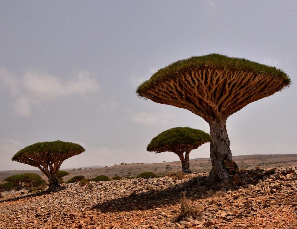
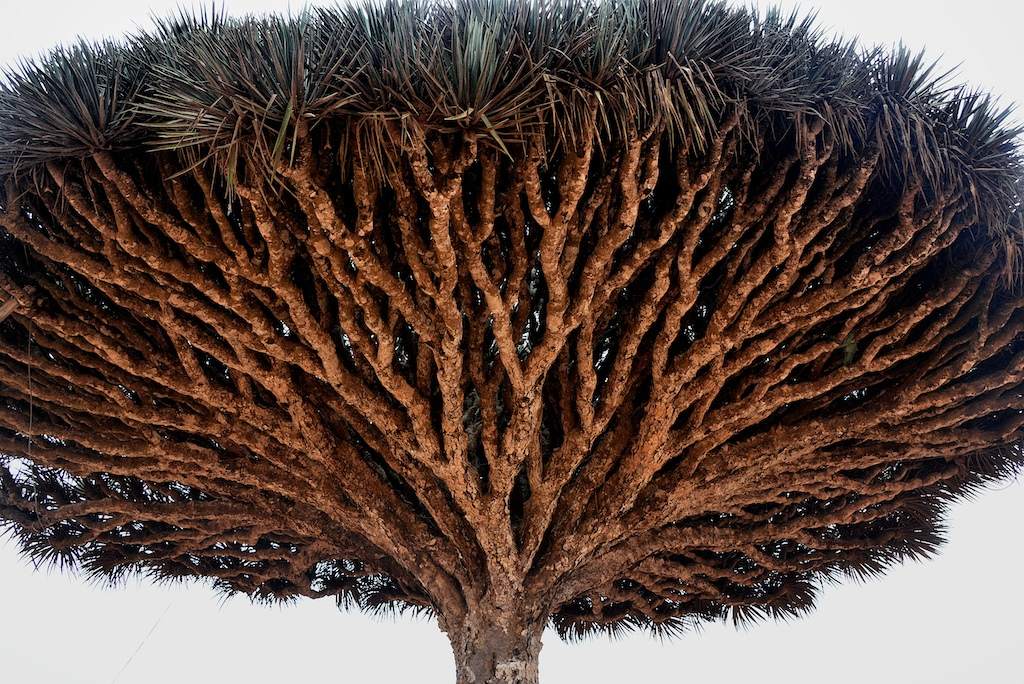
Isolated Socotra, 220 miles from mainland Yemen, is home to a panoply of strange plants and animals uniquely adapted to the hot, harsh, windswept island. It has a tropical desert and semi-desert climate with an average temperature of 25°C and hardly any rain. The most famous and distinctive plant of the island of Socotra, the evocatively named dragon’s blood tree has a unique and bizarre appearance, its upturned, densely-packed crown having the shape of an upside-down umbrella.
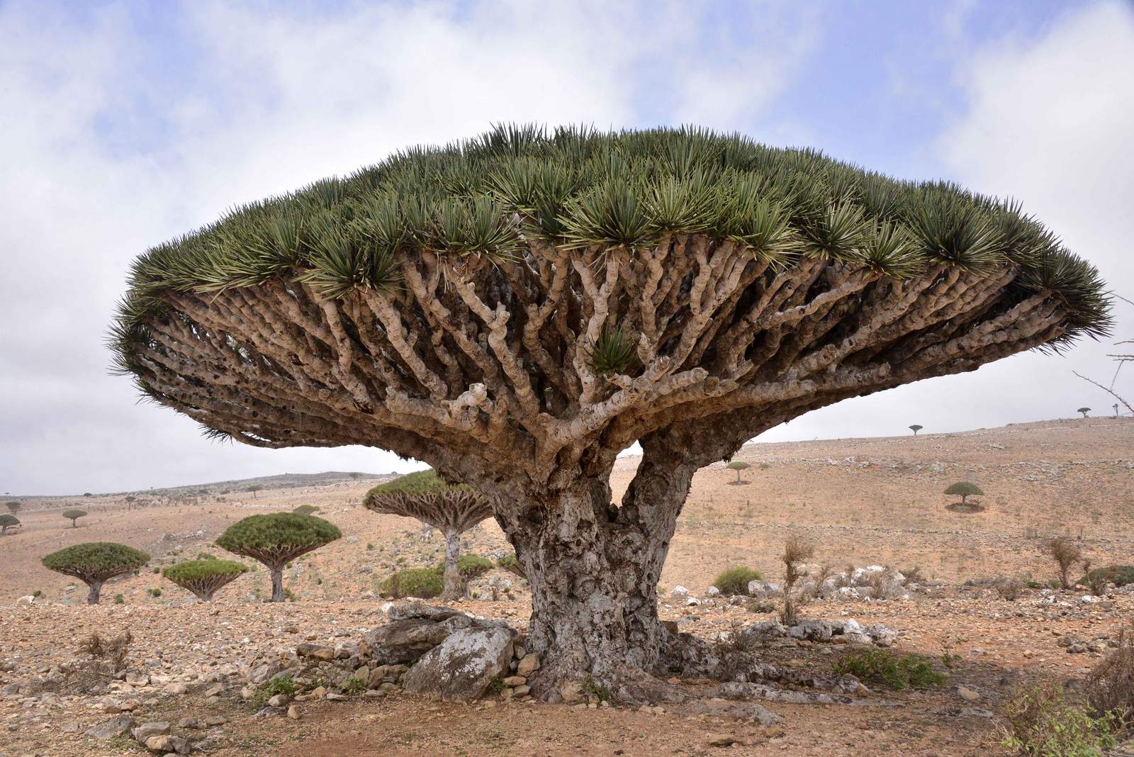
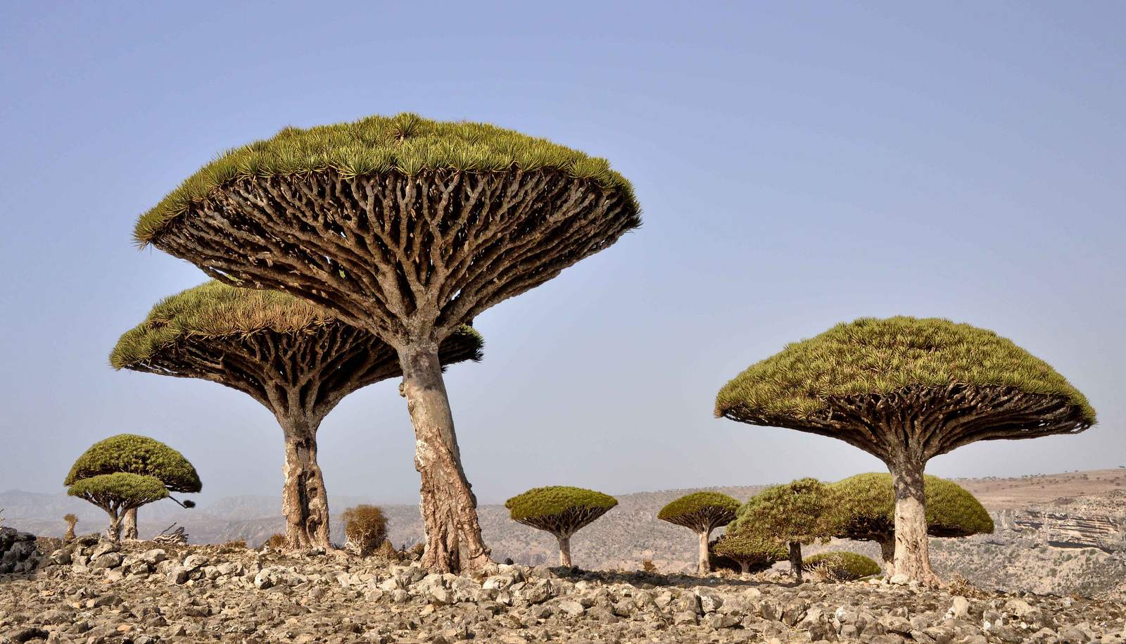
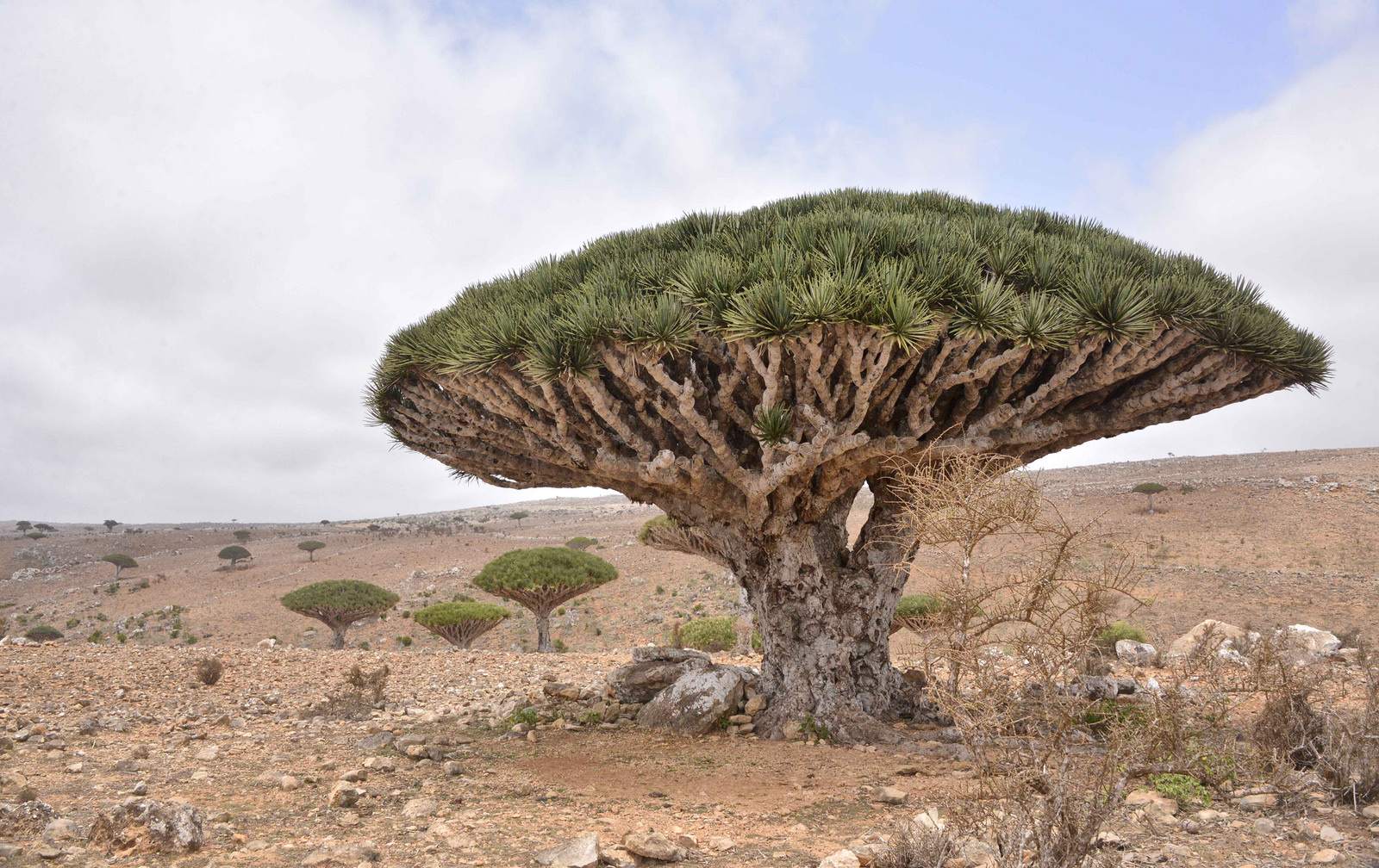
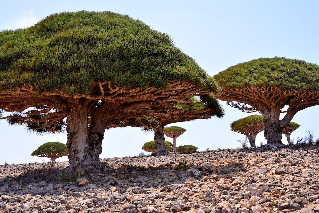
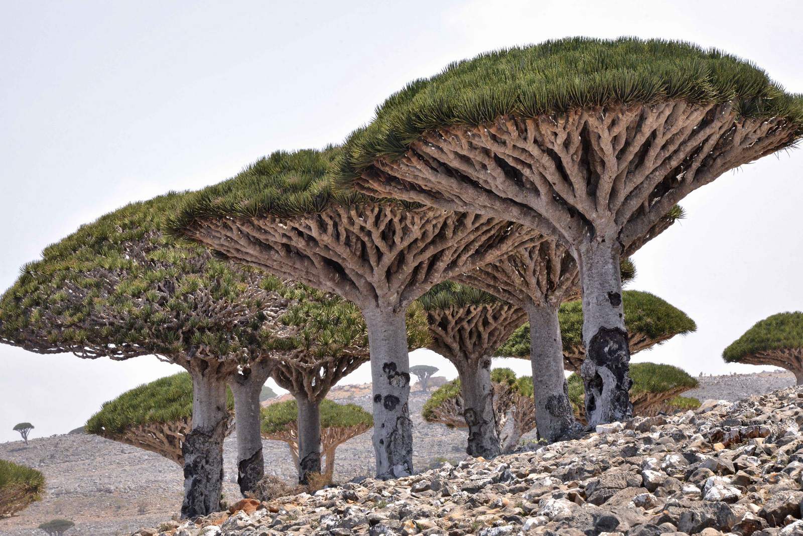
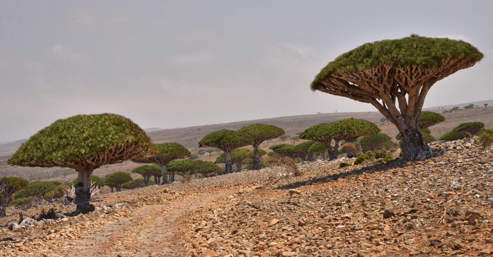
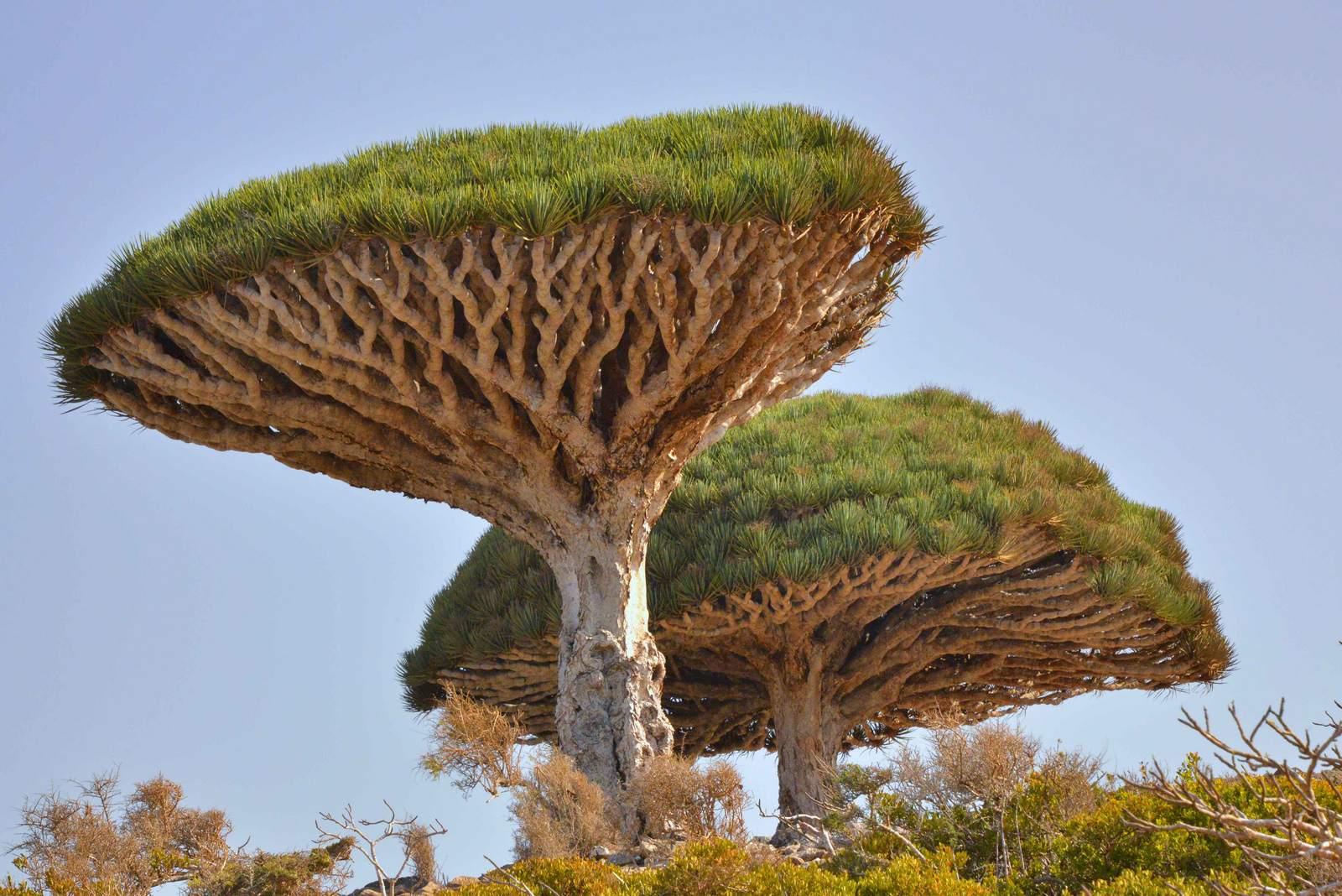
credit: Rod Waddington
Tags: Blood, dracaena, Dracaena cinnabari, dragon blood tree, Dragons, Island, Landscape, Nature, old ancient, Socotra, Socotra Island, Tree, Yemen
Relevant Articles
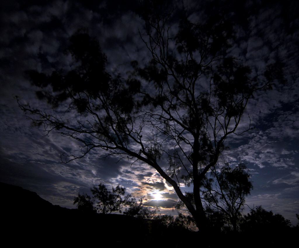
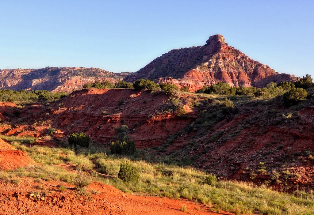
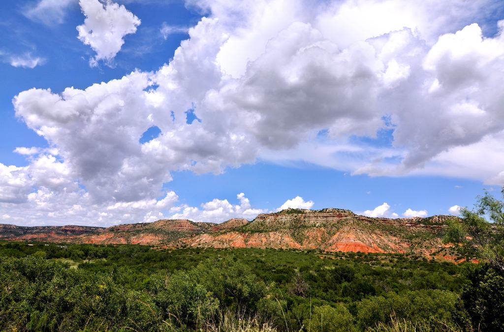
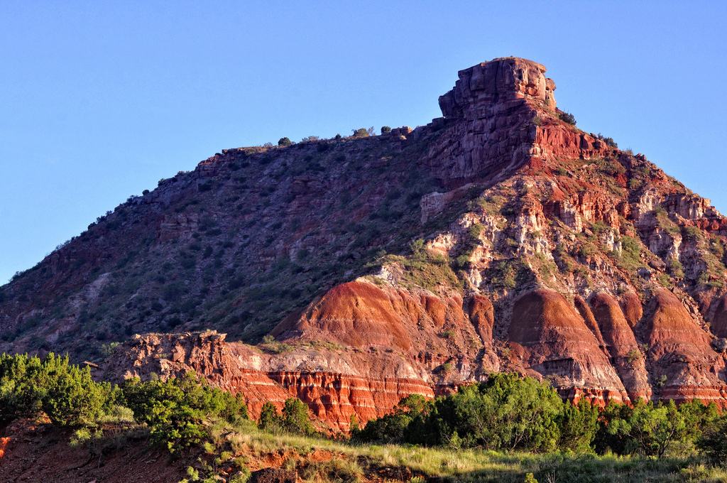
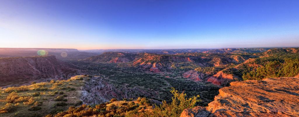
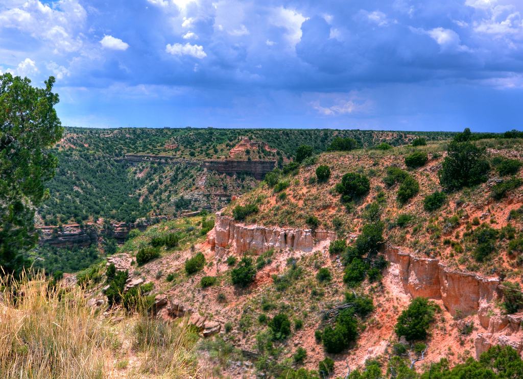
Less than a half hour drive south of Amarillo, Texas is the mysterious terra cotta badlands of Palo Duro Canyon. Palo Duro Canyon is the most spectacular and scenic landscape feature of Texas. Palo Duro Canyon, which is known as the Grand Canyon of Texas and is supposedly the second largest in the USA. This is based on its length (120 miles) rather than depth, as although very colorful, rugged and scenic, the ravine is never more than 800 feet deep, so quite shallow by Southwest canyon standards. Its a very popular place for tourists, campers, picnickers, photographers, backpackers, RV-ers, hikers, horse riders and cyclers.
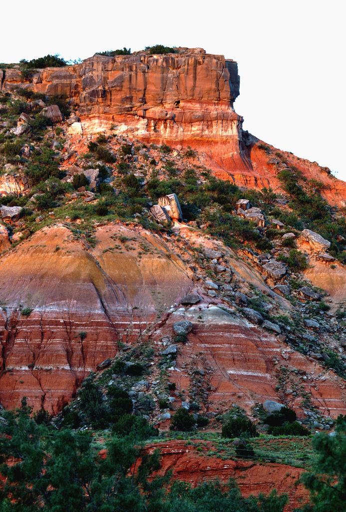
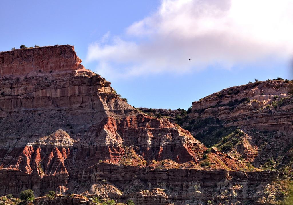
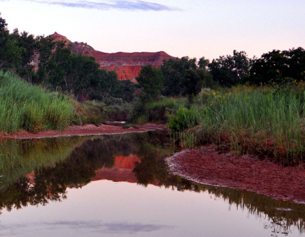

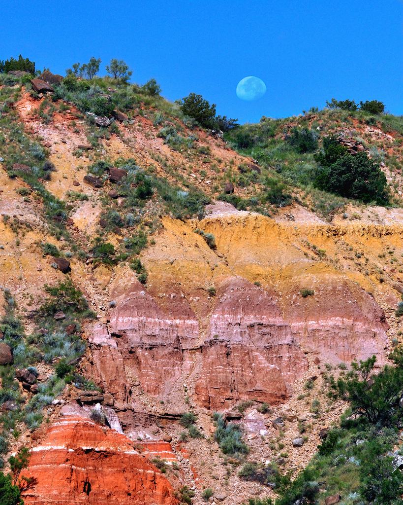
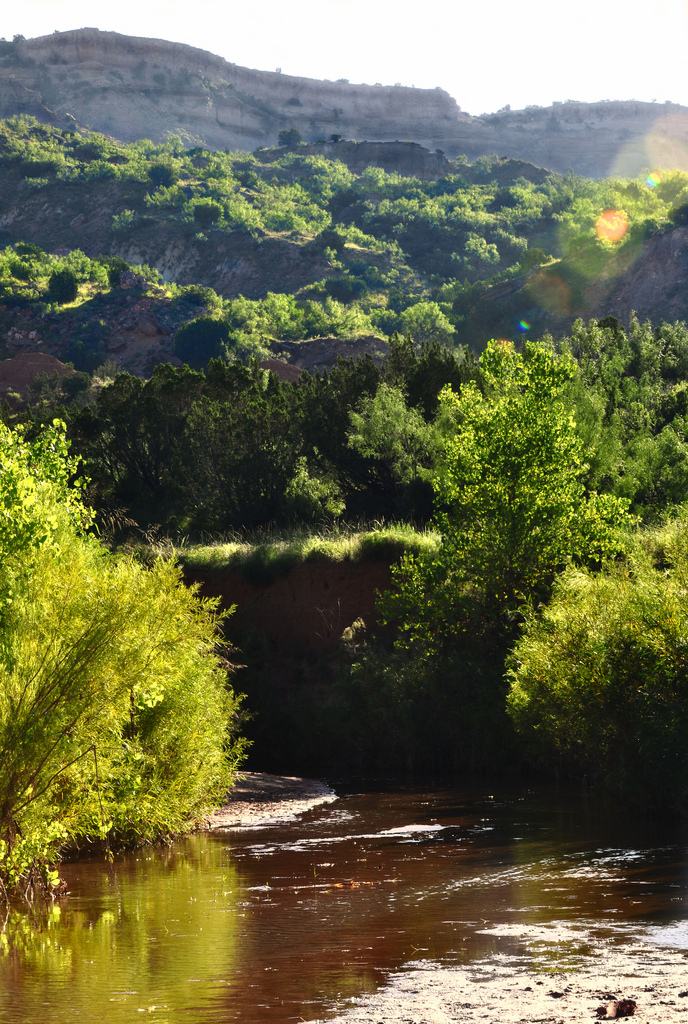
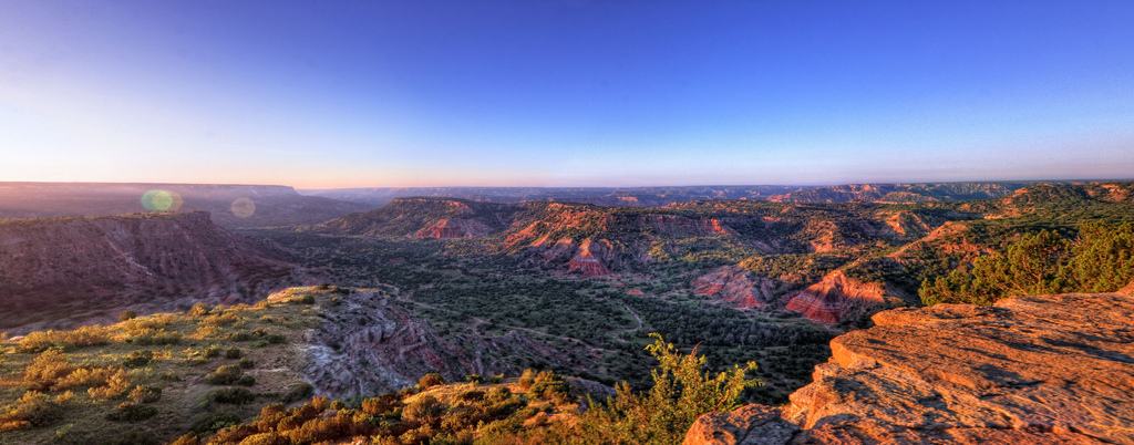
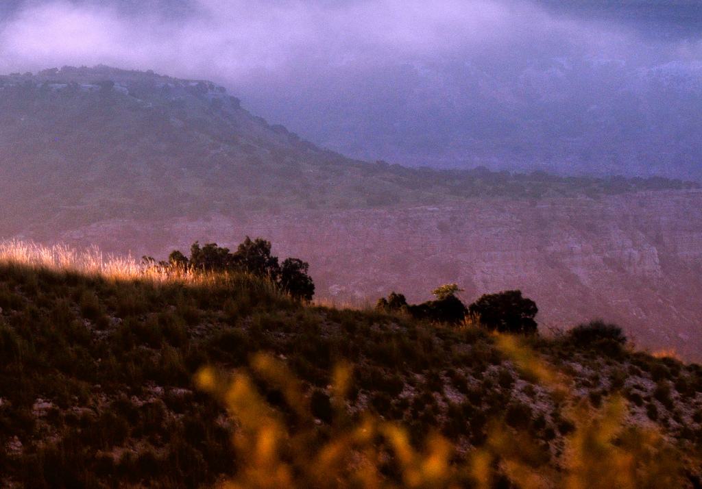
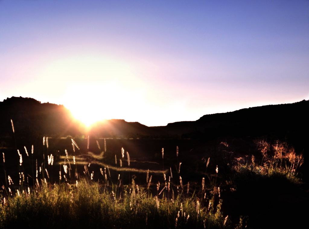
credit: Robert Hensley
Tags: Canyon, Duro, duro canyon, Grand Canyon, Landscape, park, State, state park, Texas, tx, USA
Relevant Articles
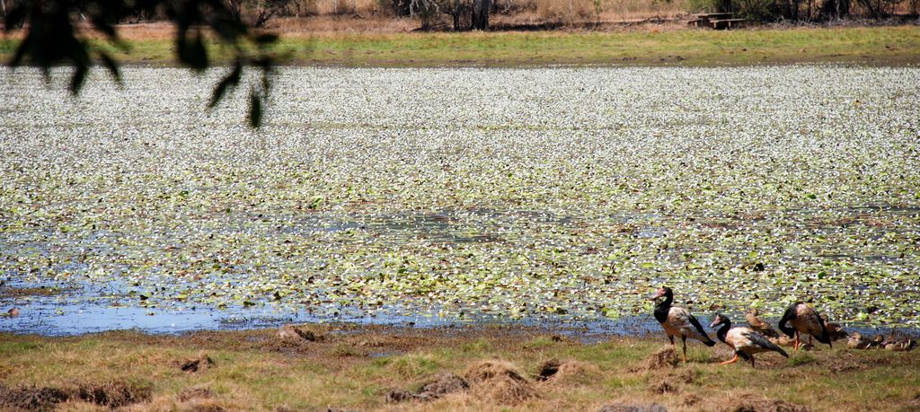
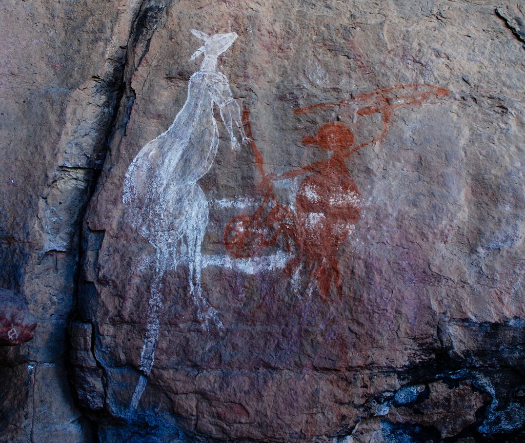
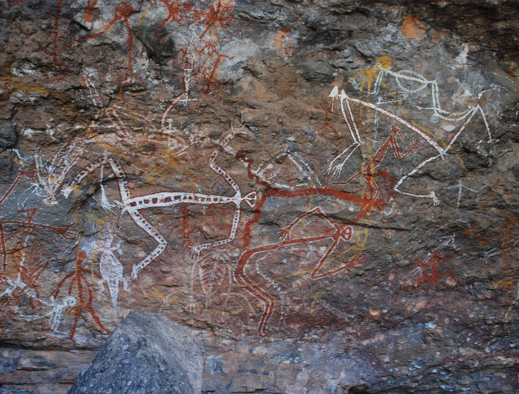
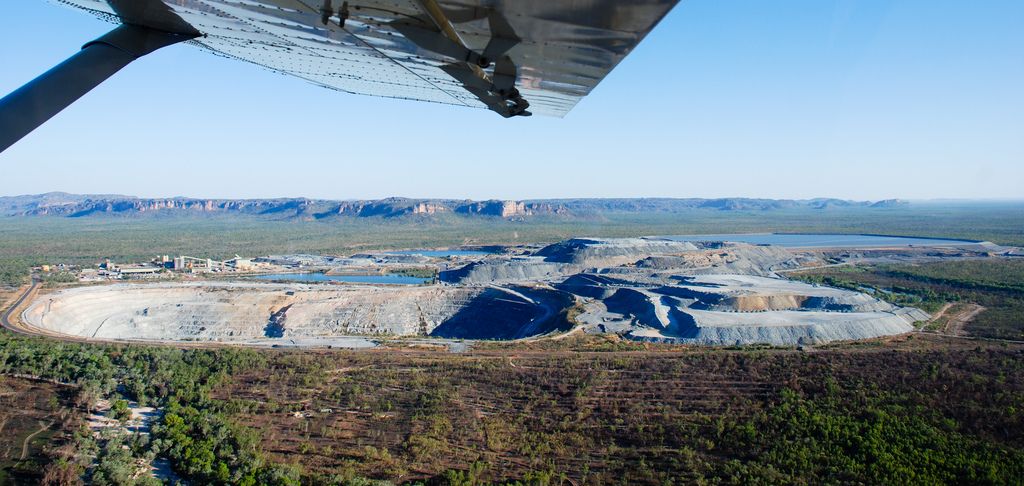
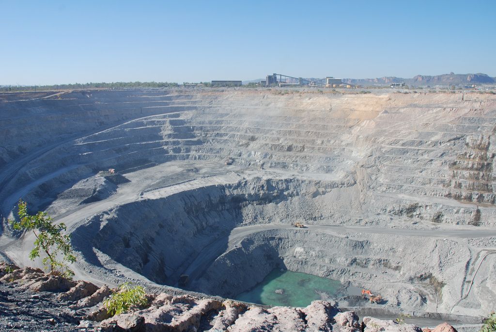
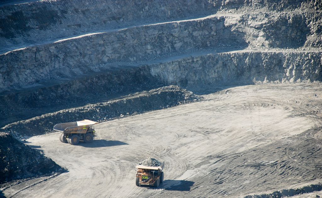
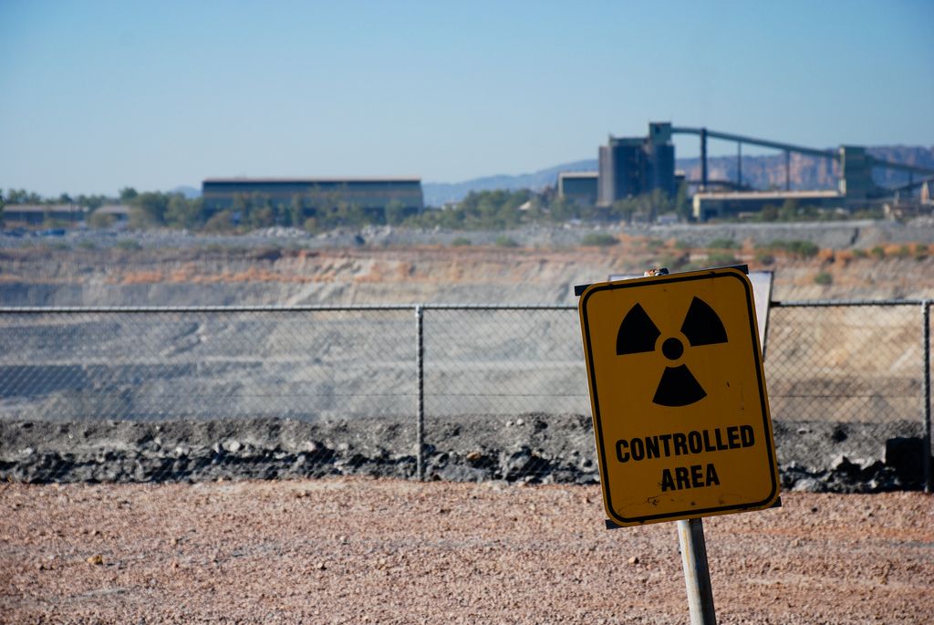
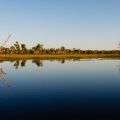
Kakadu National Park is Australia’s biggest national park that features rugged escarpments, lush rainforest and rock art galleries up to 50,000 years old. Park is situated in Northern Territory of Australia near Darwin. There are several settlements in the park, and much of Kakadu is Aboriginal land, leased to the government for its current use. About one-third of the park rangers are Aboriginal people. Some places enclosed by the park, but not part of it are designated for other purposes like uranium mining.

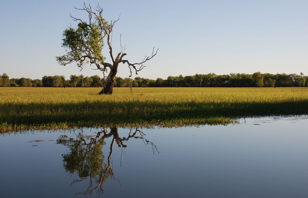
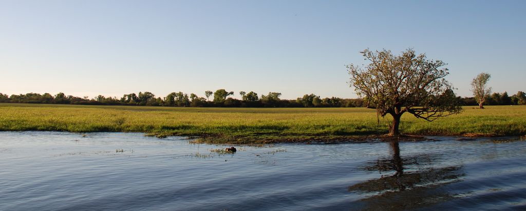

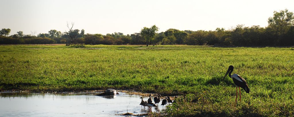
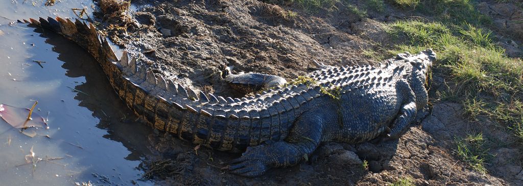
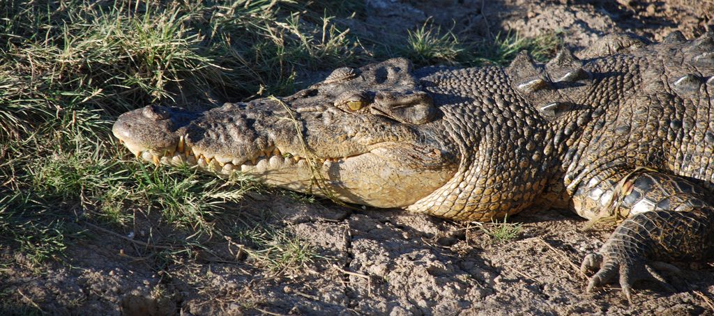

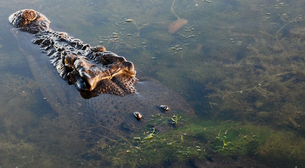


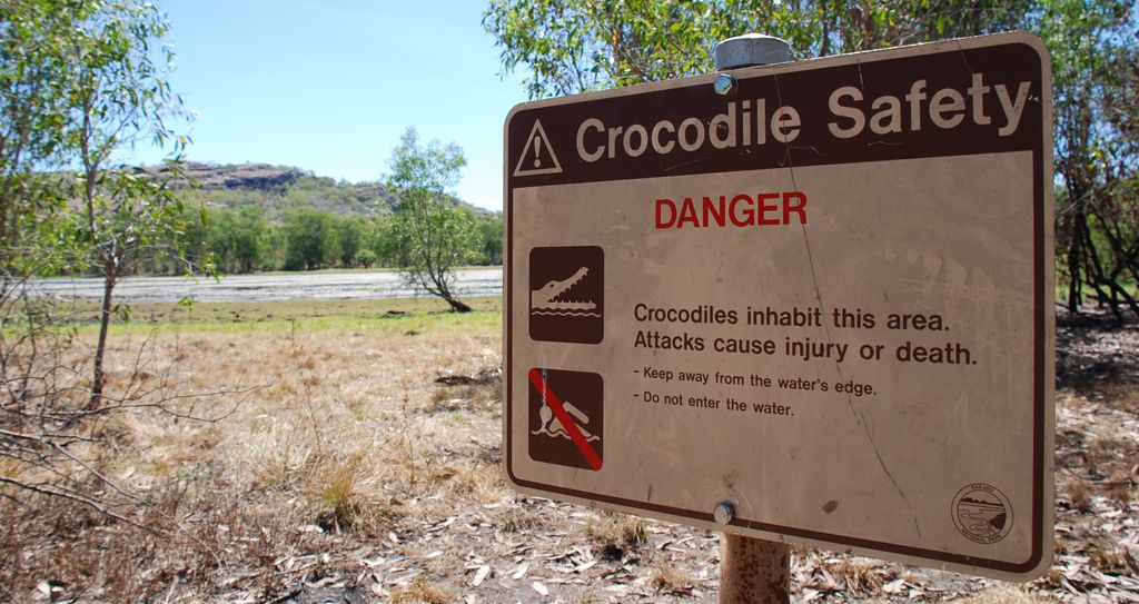
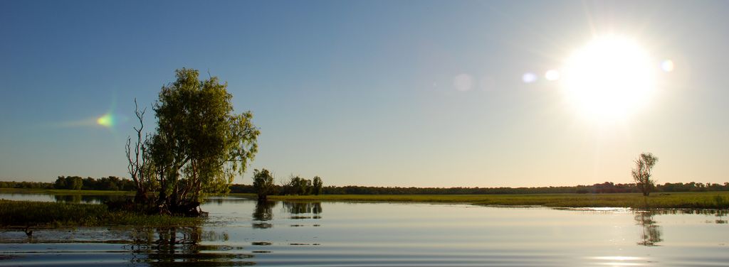
credit: Alberto OG
Tags: Aboriginal, Across, Aussie, australia, billabong, BushWalking, Jabiru, Kakadu, Kakadu National Park, kakadu park, Landscape, National, national park, Northern Territory, Nourlangie, NT, park, Roadtrip, Ubirr, uranium mining, Wet Season, YellowWater
Relevant Articles
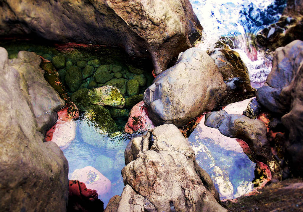
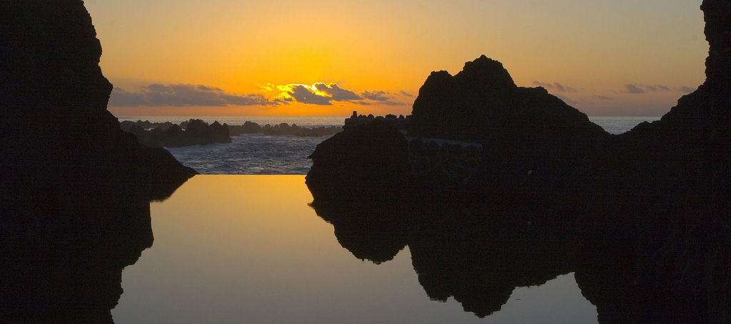
Porto Moniz is located about 46 km from Funchal on the northwest tip of Madeira. The name Porto Moniz was a tribute to Francisco Moniz, who married a granddaughter of Gonçalves Zarco, to whom the place was donated. It is famous for its natural rock bathing pools that are filled by the tide with crystal clear water.

credit: Jsome1

credit: Jsome1

credit: Jsome1

credit: Jsome1
credit: Flawka

credit: LukeGordon1
credit: Bill Hails
Tags: Attractive, Landscape, Madeira, madeira island, Moniz, Most, natural pool, natural swimming pools, near, Pools, Porto, porto madeira, Porto Moniz, Portugal, Rock, rock pool, rocks, sea pool, Sunset, sunset wallpaper
Relevant Articles

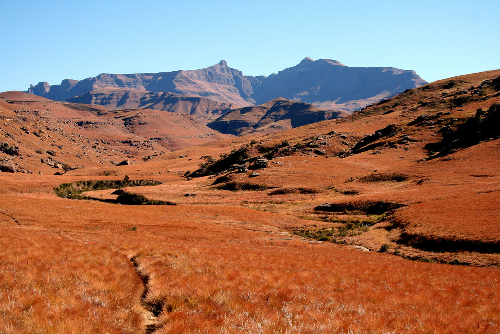
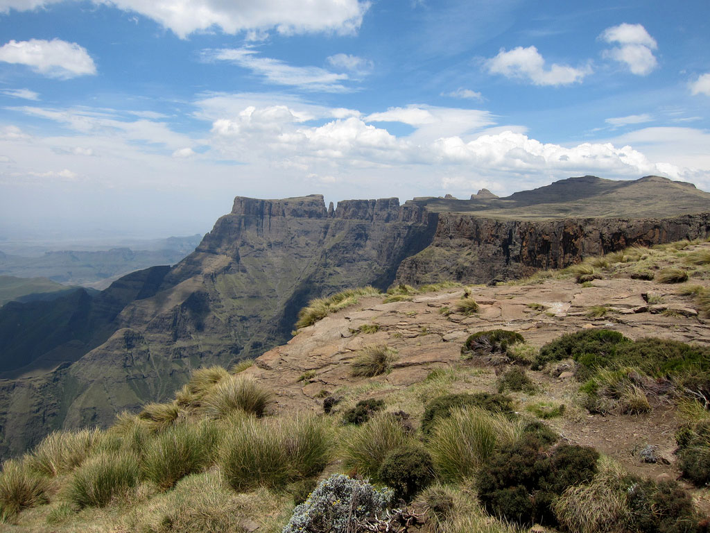
The Drakensberg is one of the major mountain ranges of southern Africa with dramatic scenery. The park includes beautiful rivers, wetlands, indigenous forests, grasslands, valleys and cliffs. The Ukhahlamba Drakensberg Park has an average altitude of 3000m, the highest range south of Kilimanjaro – and spans 150kms over 243 000 ha of land. One of the greatest treasures is set of 20 000 individual rock paintings at 500 different cave and overhang sites between Royal Natal National Park and Bushman’s Neck.

credit: Sito Wijngaarden
credit: H Dragon
credit: fabulousfabs
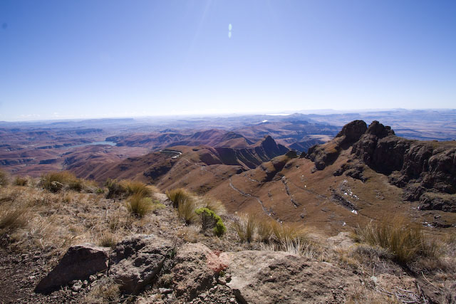
credit: heza
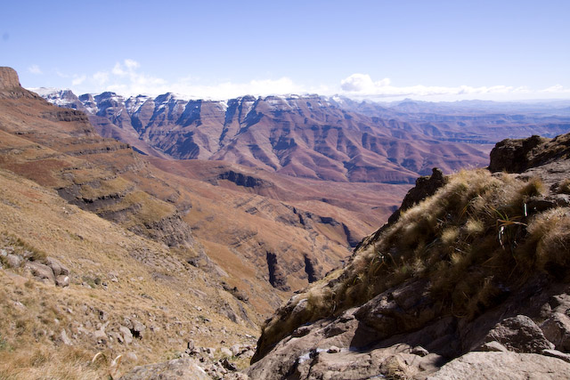
credit: heza
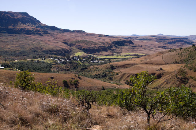
credit: heza
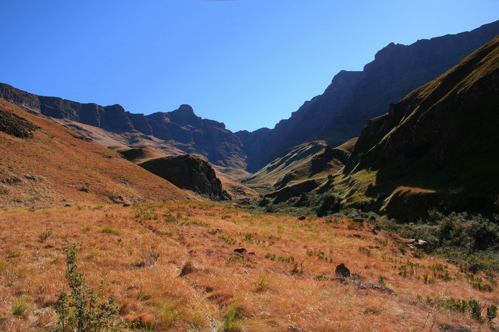
credit: H Dragon
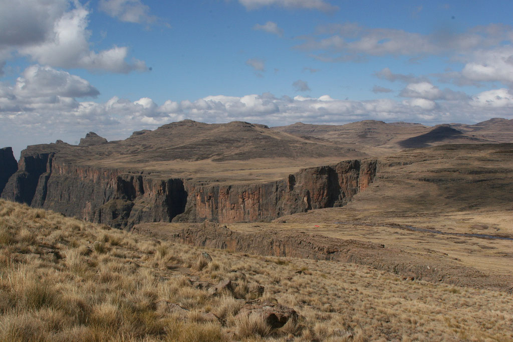
credit: Fritz Park
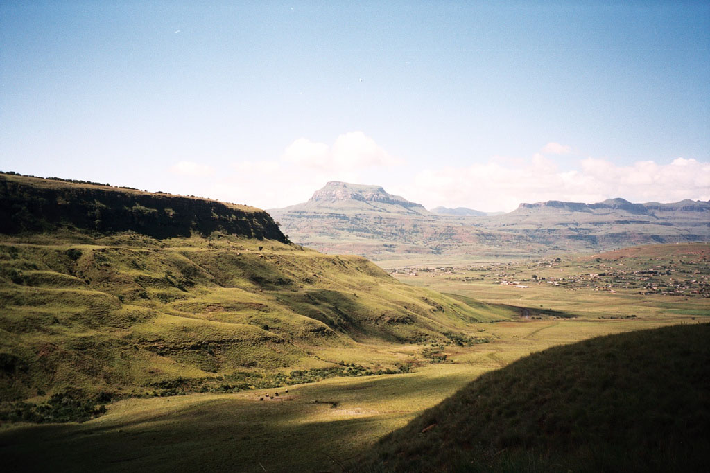
credit: Richard Gifford
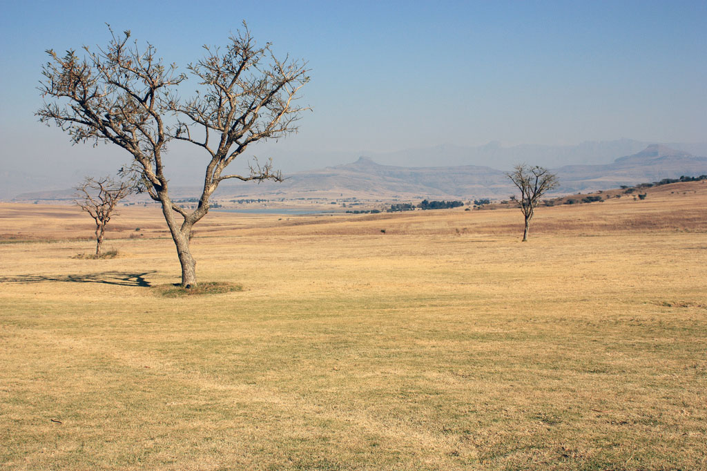
credit: Sito Wijngaarden
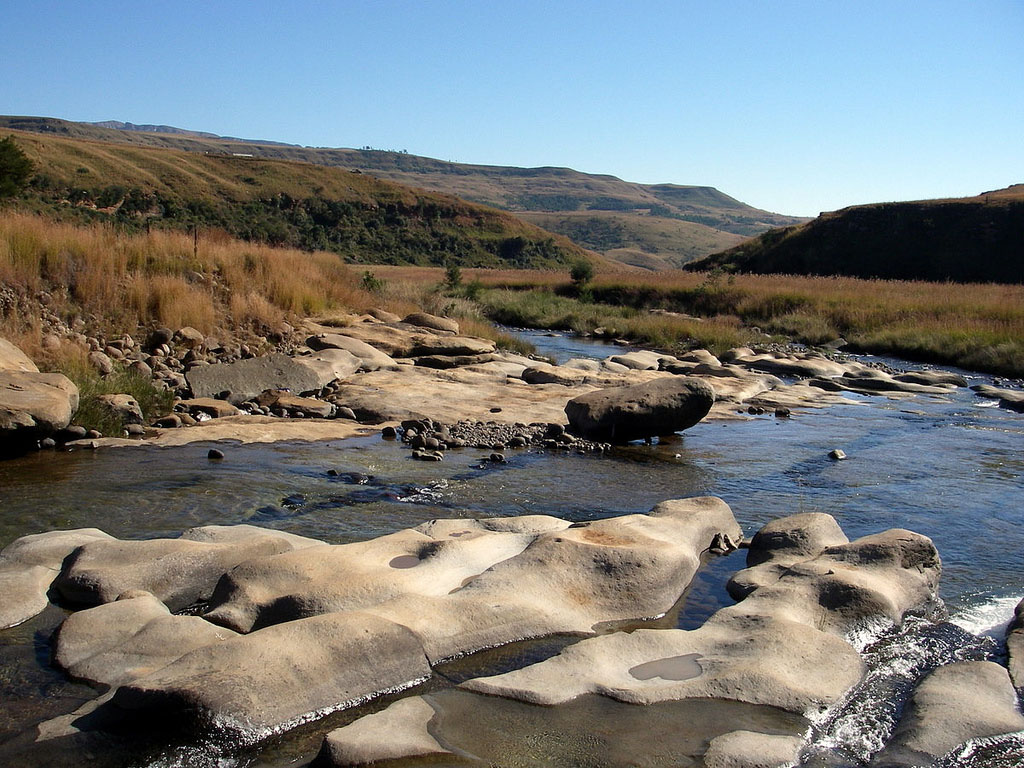
credit: Jean & Nathalie
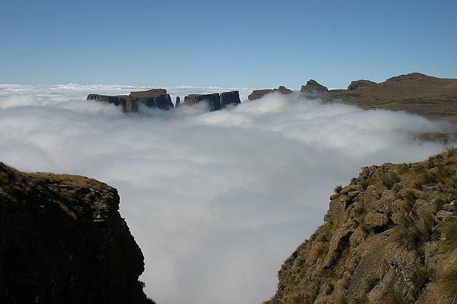
credit: darkroomillusions
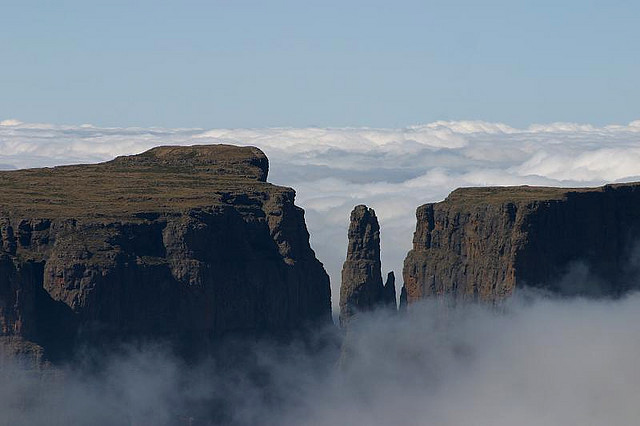
credit: darkroomillusions
Tags: African, Amphitheatre, Amphytheatre, Cathedral Peak, Dragon Mountains, Drakensberg, drakensberg mountains, drakensberge, Drakensbergen, Landscape, Lesotho, mushroom rock, Nature, Outstanding, park, Reserve, Sentinel, South, south africa, uKhahlamba, unesco
Relevant Articles

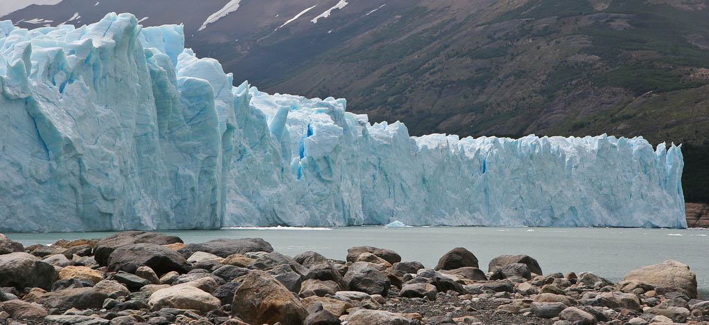
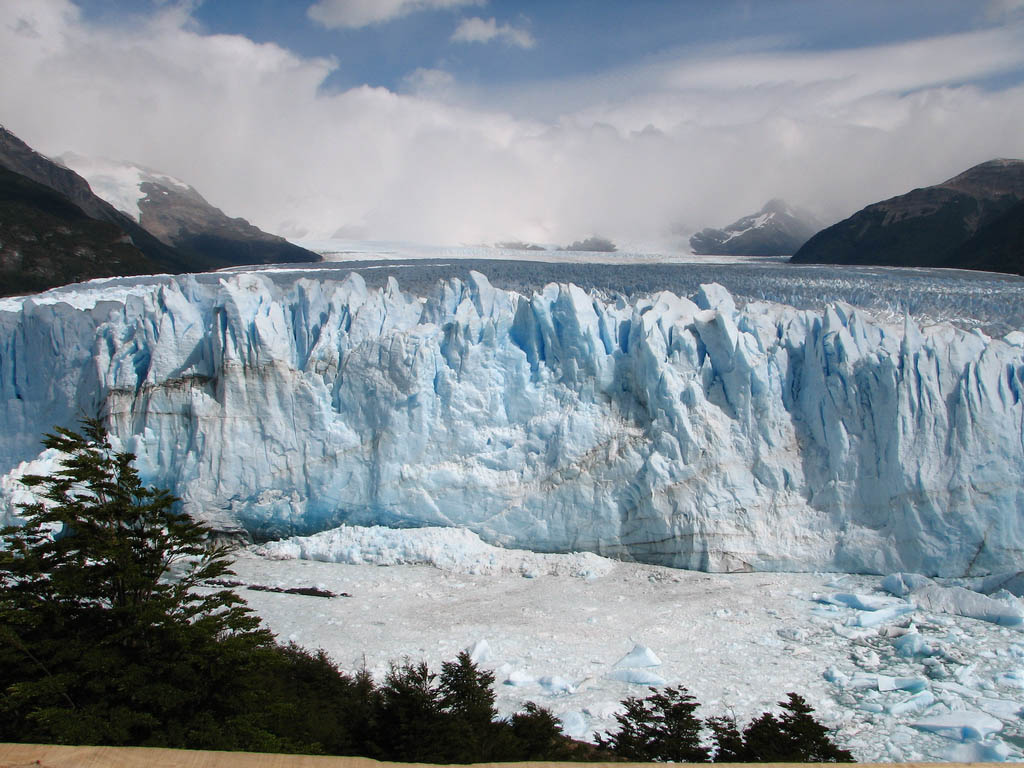
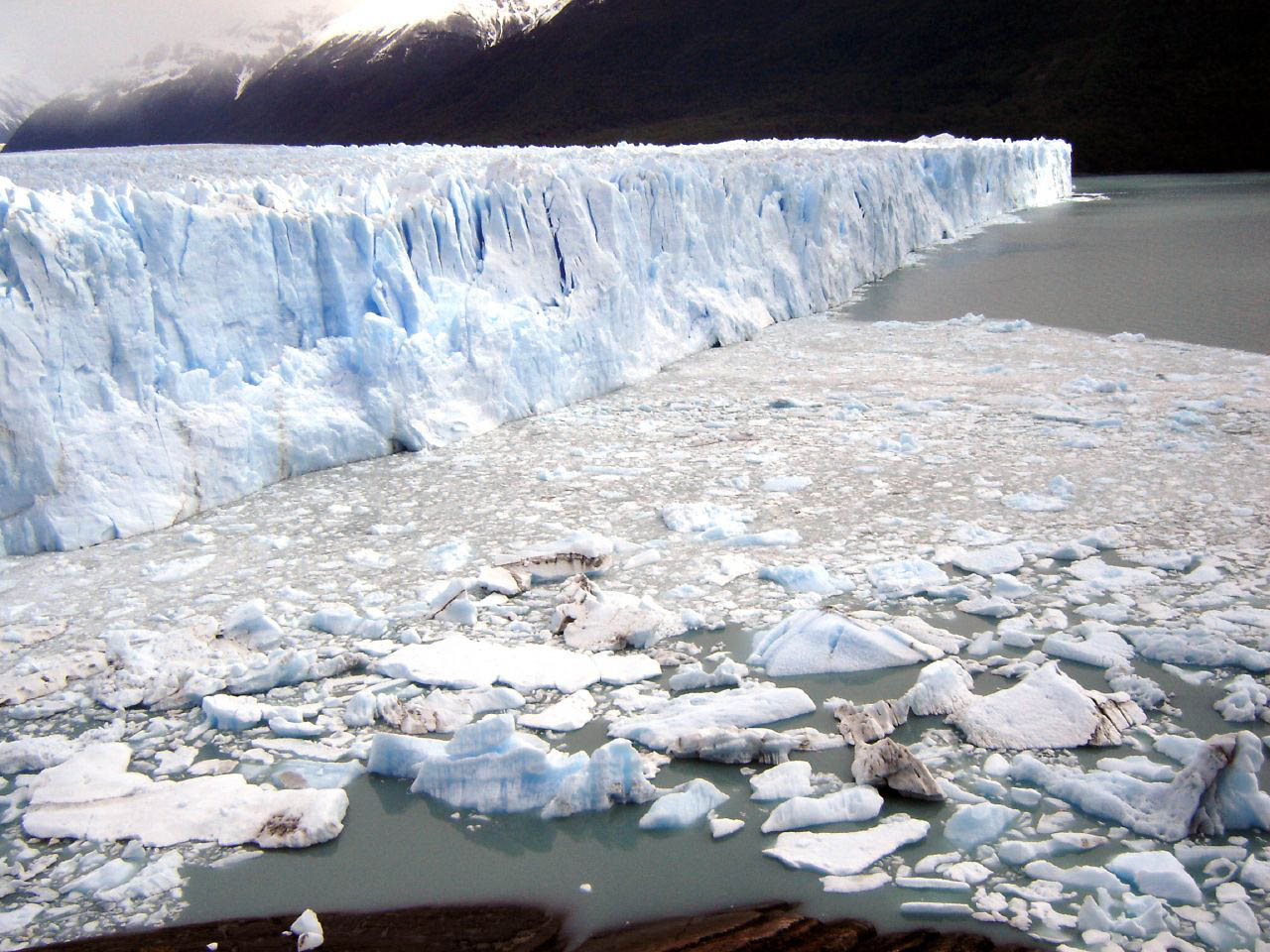
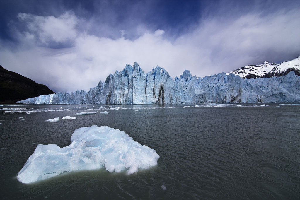
Perito Moreno is one of the most visited tourist attractions in the Argentinean Patagonia. Glacier is located in the Los Glaciares National Park, Argentina. It is one of 48 glaciers located in the Andes, near the limits between Santa Cruz province and the Chilean frontier. The glacier is 97 square miles (250 sq km) and measures 19 miles (30 km) in length. It measures 3 miles (5 km) wide with a total ice depth of 558 feet (170 m). The deepest part of the glacier measures 2,297 feet (700 m). A huge glacier that is still moving and growing at the same time.

credit: Miradas.com.br
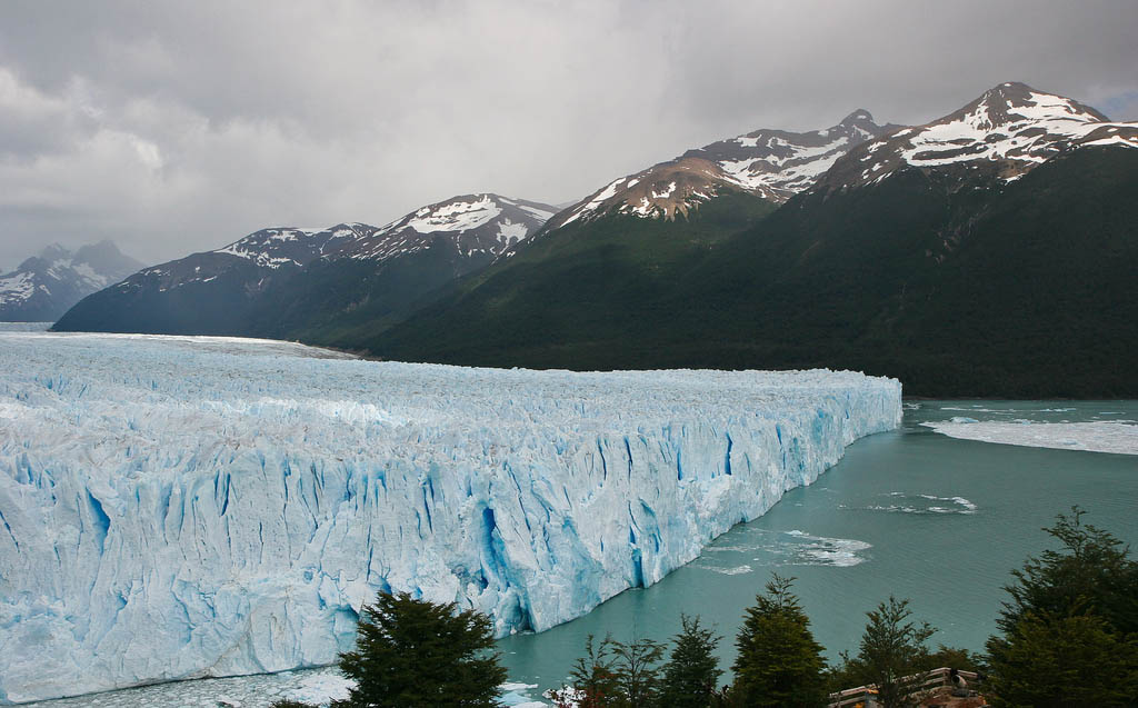
credit: Miradas.com.br
credit: Miradas.com.br
credit: lrargerich
credit: ground.zero
credit: travelwayoflife
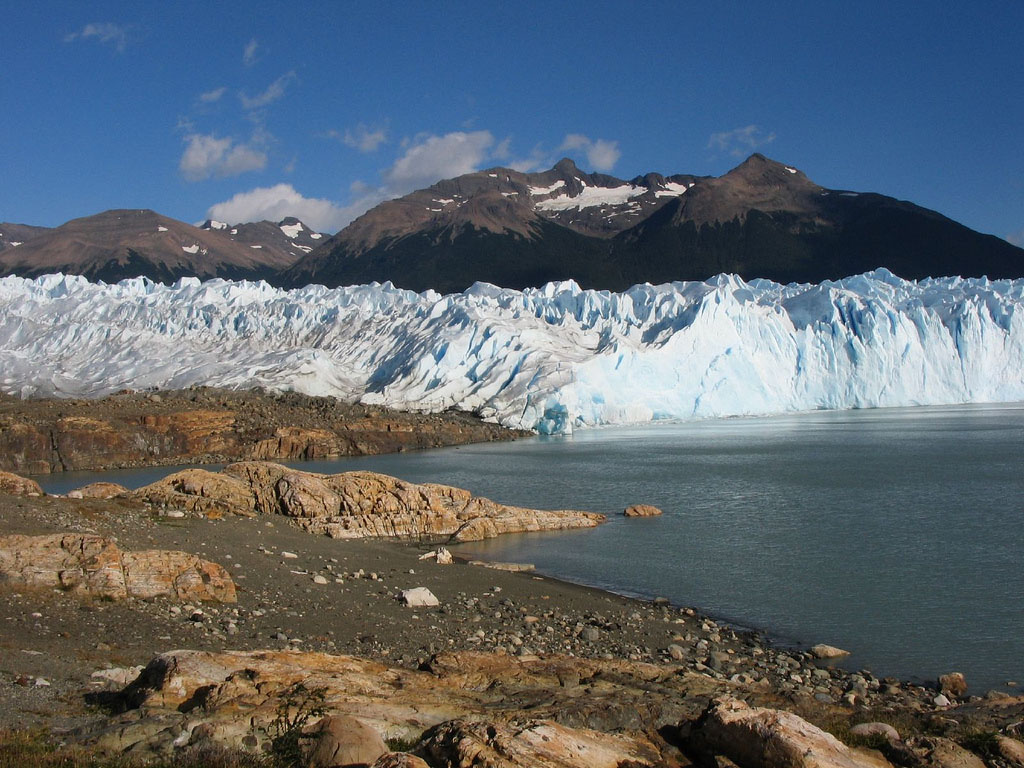
credit: ramonbaile
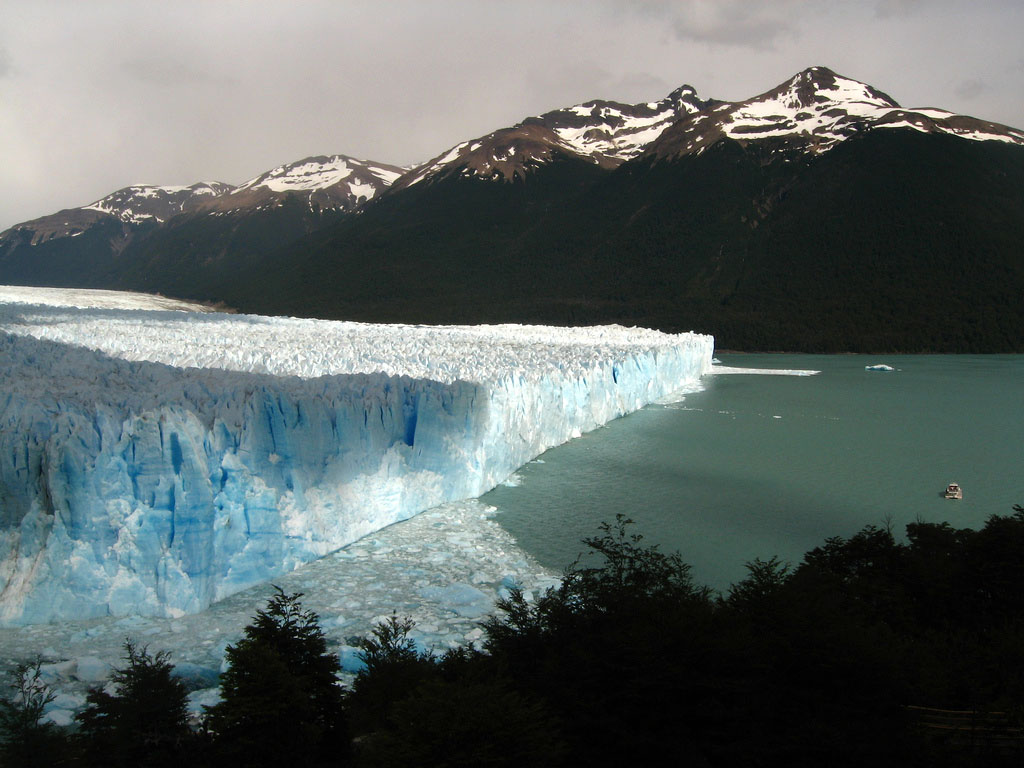
credit: Hector Garcia
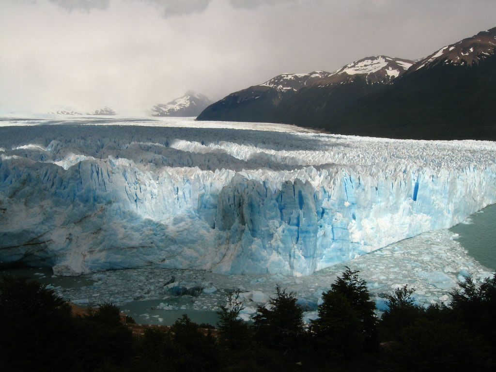
credit: Hector Garcia
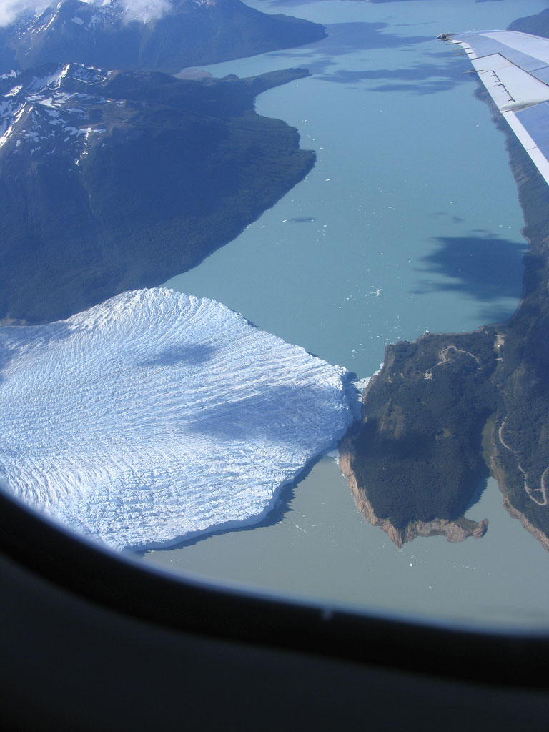
credit: Paul Keller
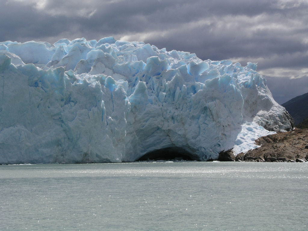
credit: tiswango
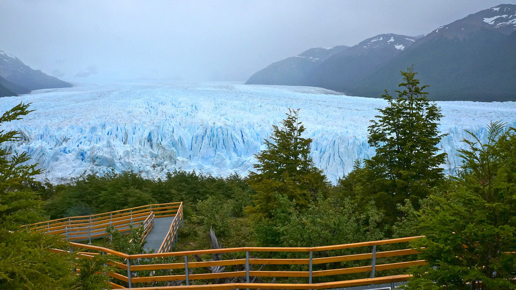
credit: john_voorhees
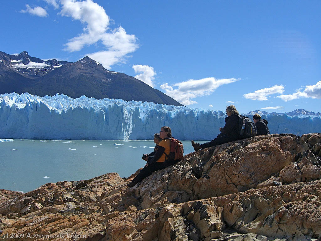
credit: Deanna Keahey
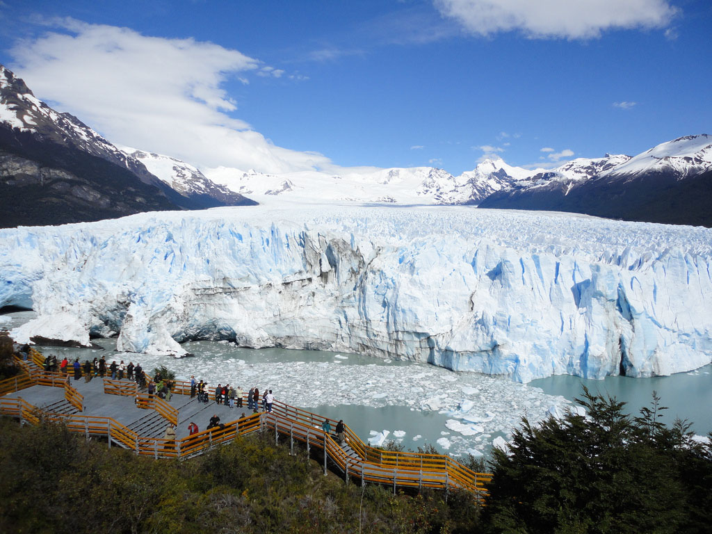
credit: Daniel García Peris
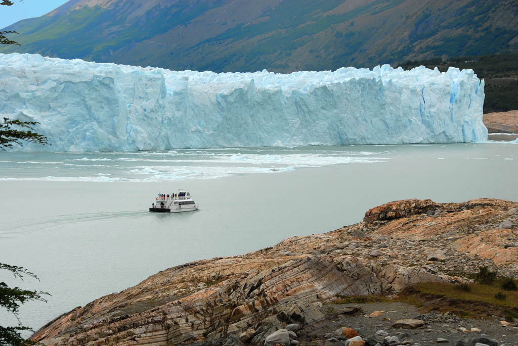
credit: doriana del sarto
Tags: América do Sul, Andes, argentina, Campo de Gelo Patagônico Sul, Cordilheira dos Andes, El Calafate, el perito moreno, Enormous, geleira, Glaciar, glaciar perito moreno, glaciares, Glacier, lago, Landscape, Los Glaciares, Miradas, Moreno, Parque Nacional Los Glaciares, Patagonia, Perito, Perito Moreno, perito moreno argentina, Perrito Moreno, Southern Patagonia, torres del paine, Tour, viagem
Relevant Articles

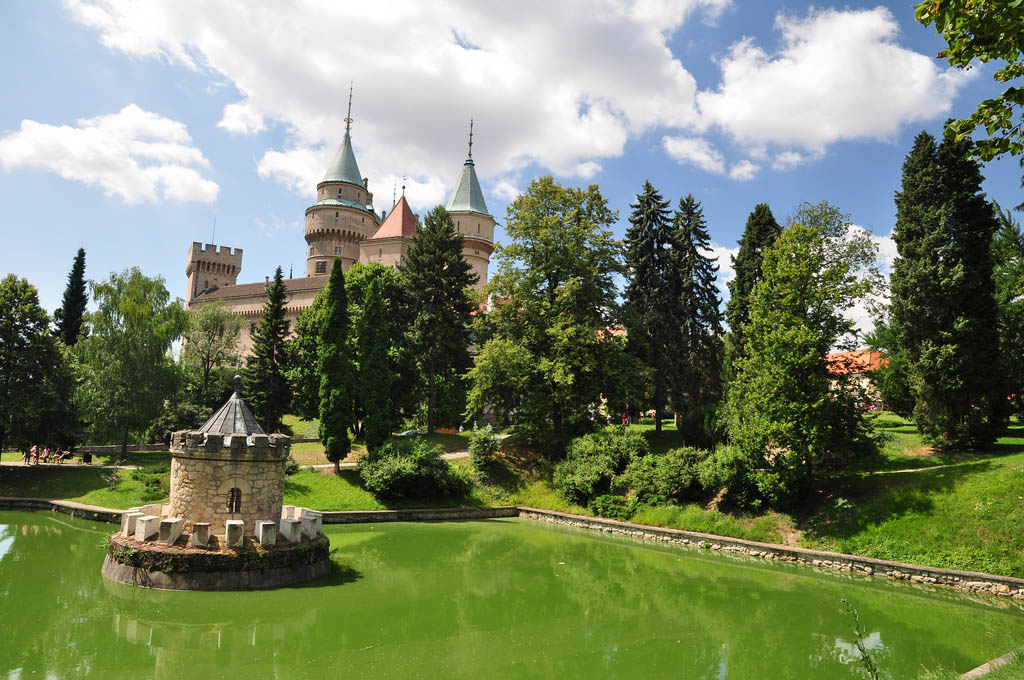
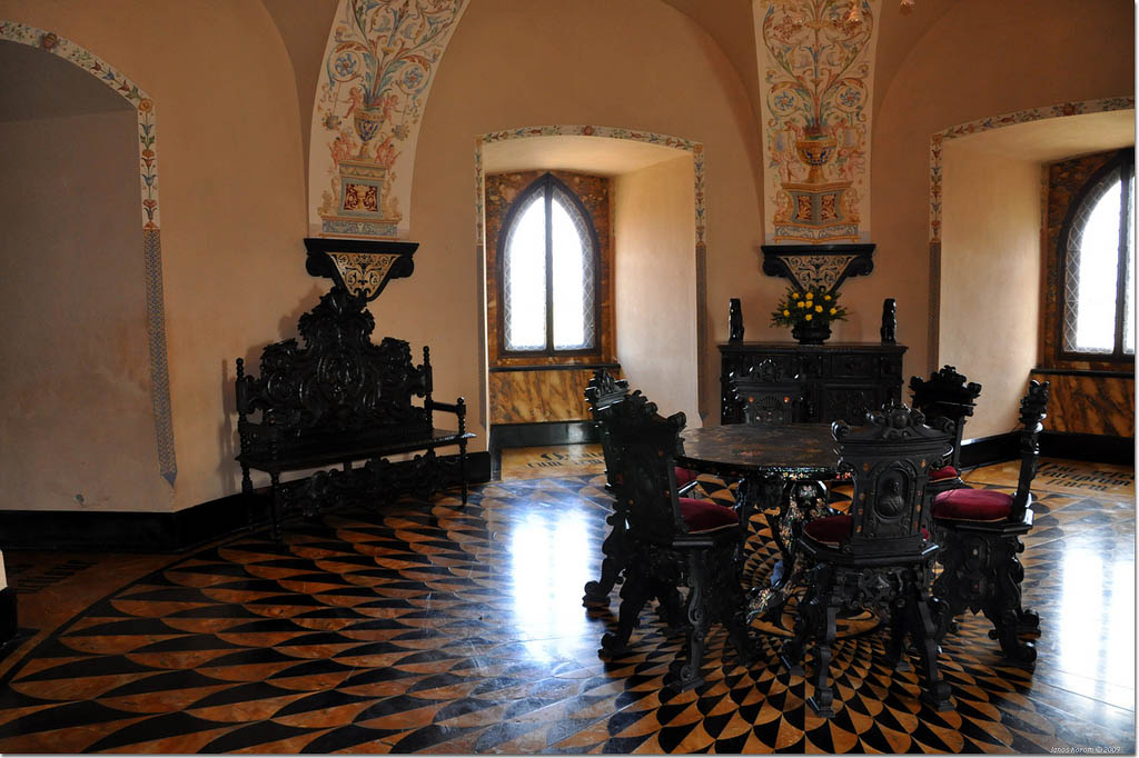
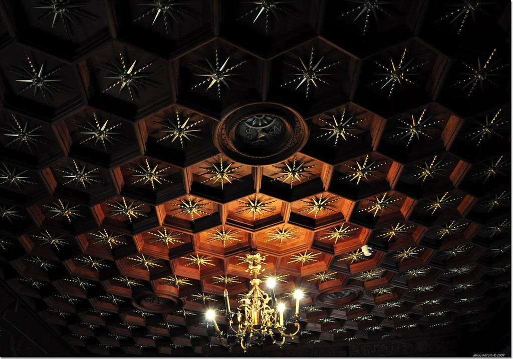
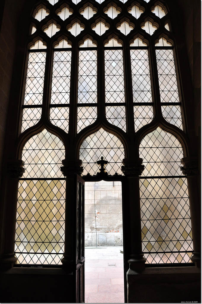
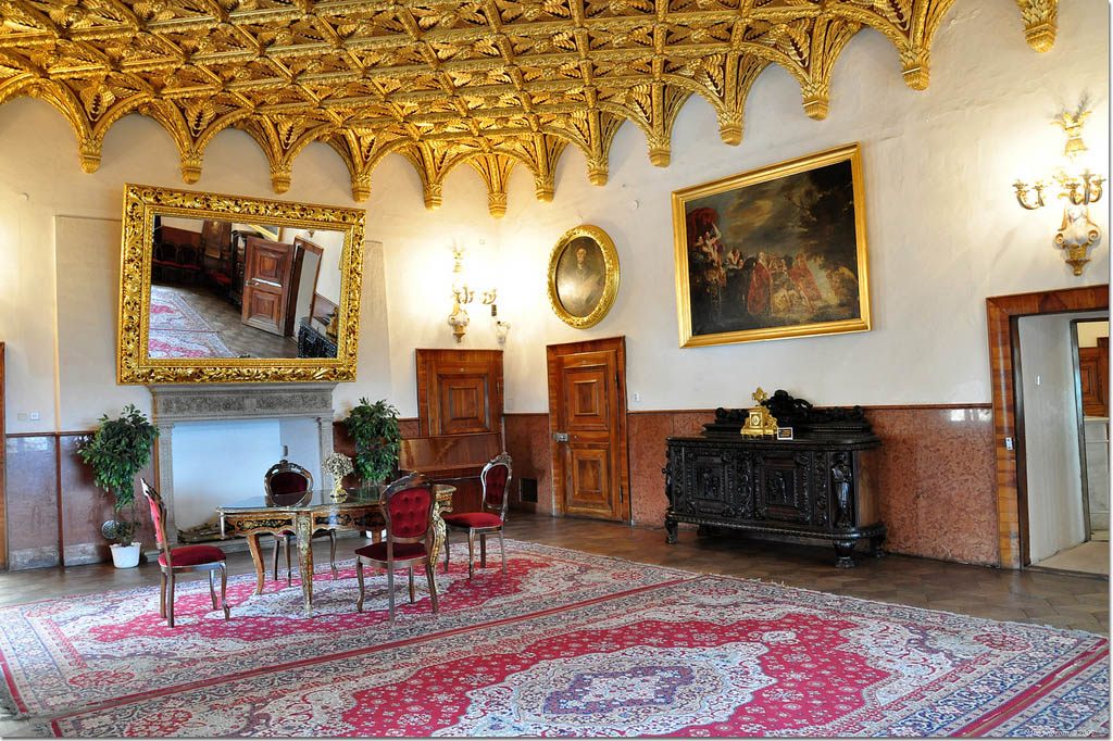
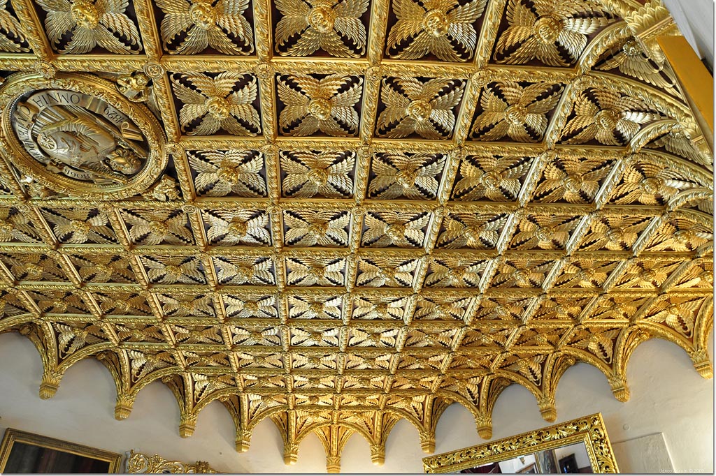
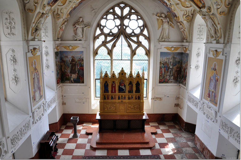
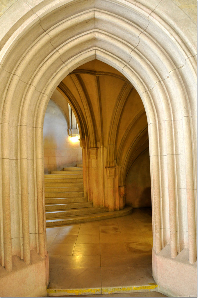
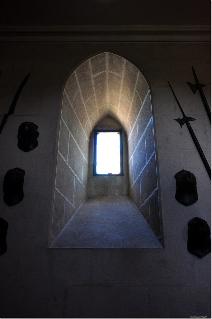
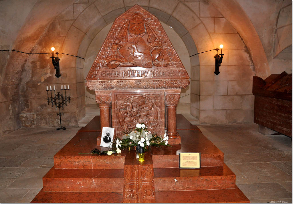
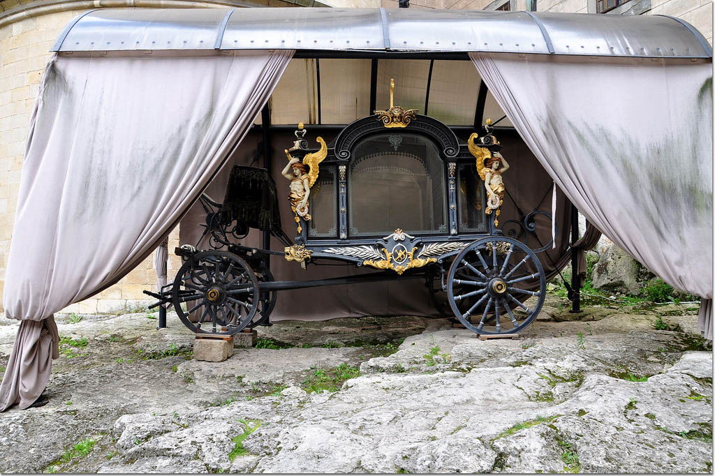
You should book your wedding date minimum 10 – 12 months in advance. The main wedding season is between May and October. The Golden Hall or The castle chapel is used for weddings and other ceremonies. Wedding ceremony admission is 332,00 €. Bojnice castle standing on a travertine hill above the town. In 1970 the castle was declared a National cultural monument. The first written mention of the castle existence is from 1113. Originally it was the wooden fortress. Fortress was rebuild with stone over the 13th century and than renaissance and gothic style has been rebuilt in Romantism style in 19th century. Every year, the Bojnice Castle organize greatest International Festival of Ghosts and Monsters in April and May. Main idea of festifal has every year a different scary story. During this time a huge number of tourists visit castle, the zoo and Spa in Bojnice.

credit: Stanislav Ochotnicky
credit: Stanislav Ochotnicky
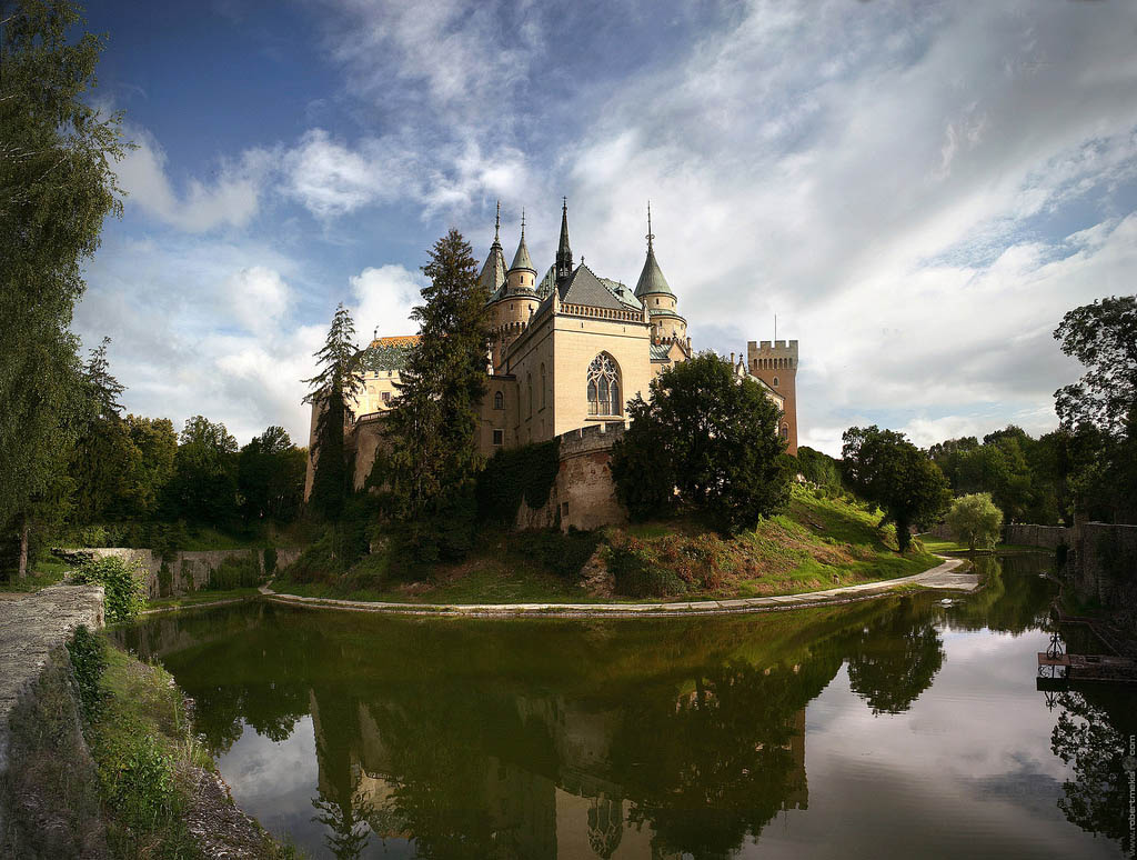
credit: ??????2010
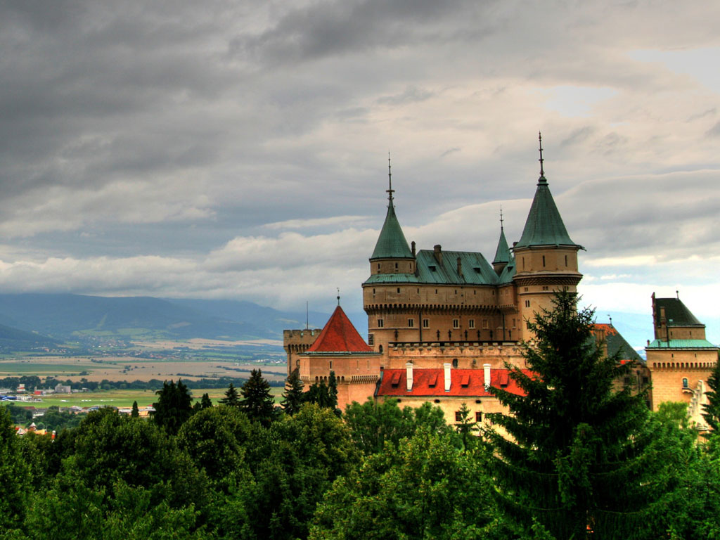
credit: Krondol
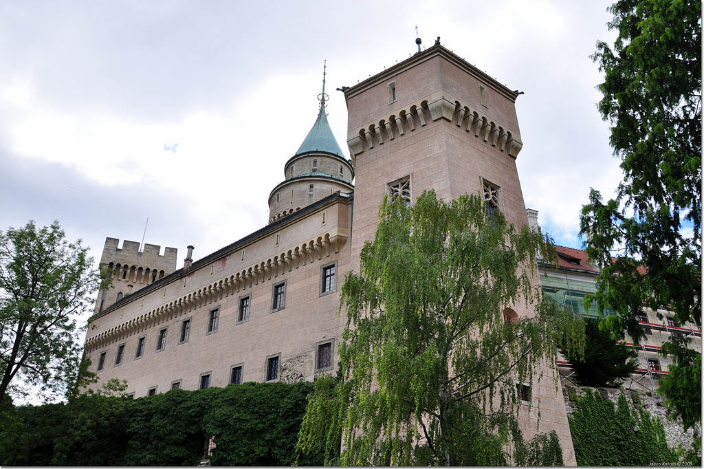
credit: korom
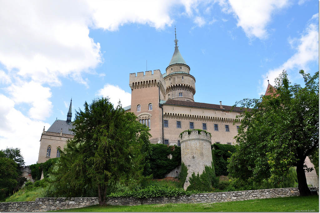
credit: korom
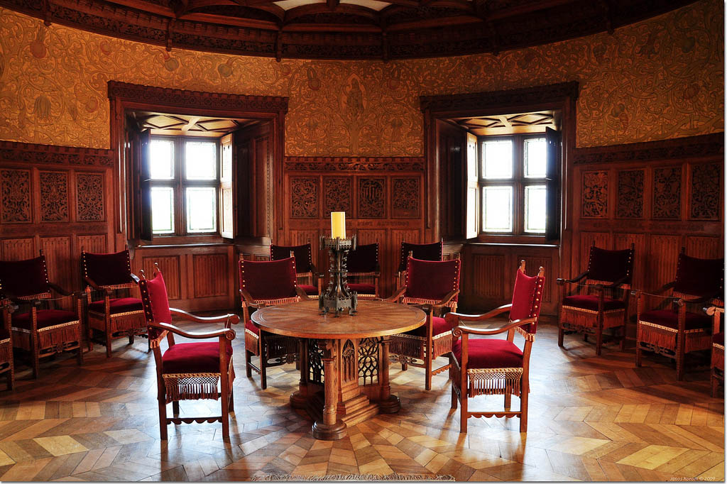
credit: korom
credit: korom
credit: korom
credit: korom
credit: korom
credit: korom
credit: korom
credit: korom
credit: korom
credit: korom
credit: korom
Tags: about, Architecture, Beautiful, bojnice, Bojnice Castle, bojnice zamok, Castle, Central Europe, europe, GFXartist, history, International Festival of Ghosts and Monsters, Landscape, mirroring, Most, palffy, Prievidza, slovak tour, Slovakia, Wedding, wedding admission, wedding castle
Relevant Articles
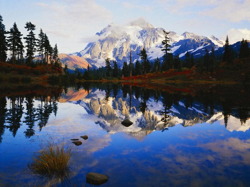
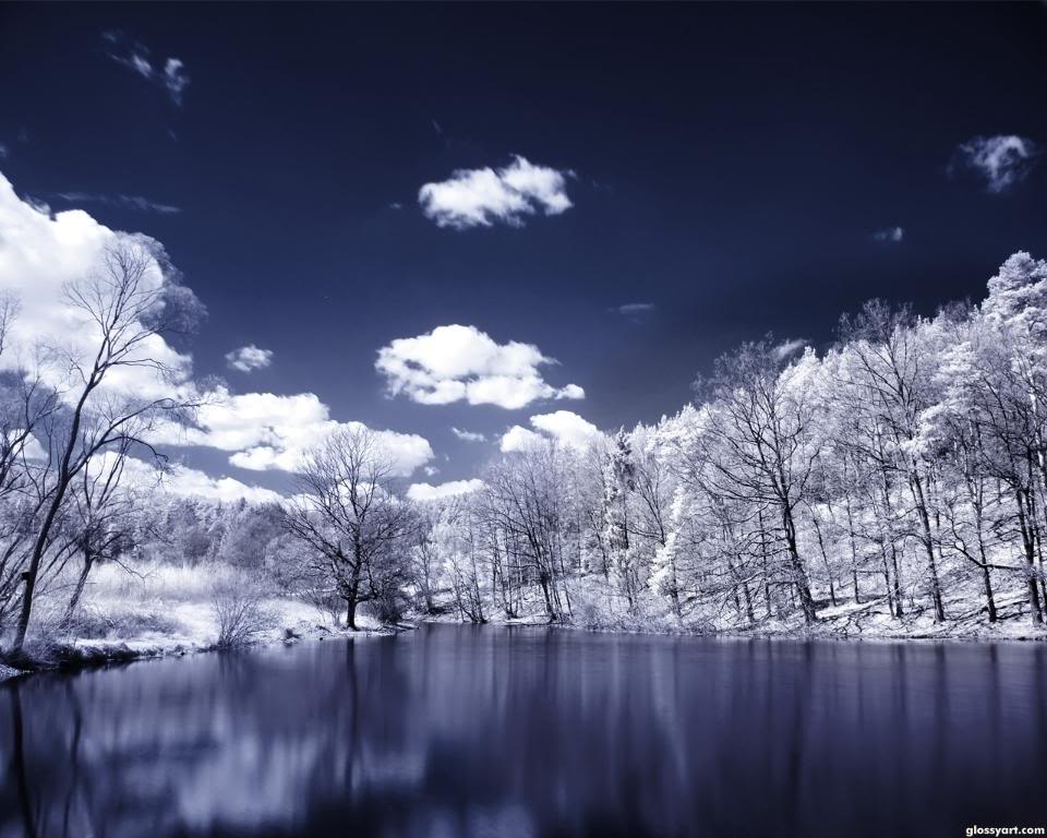
Photos of lake reflects sky and trees all over the world. Spectacular shots of Lake Reflections are taken by talented photographers. It can inspire many photographers to make creative photography.
credit: noelpickett
credit: Myyrdn_Eopia
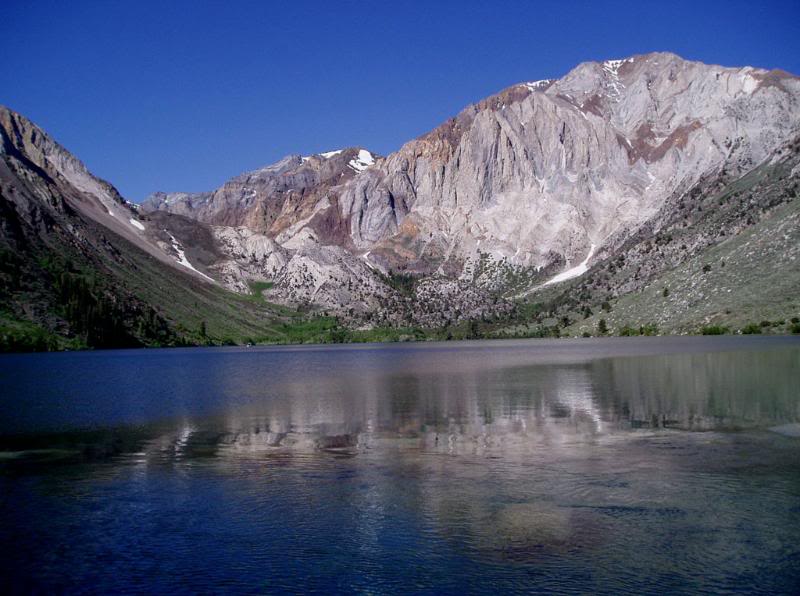
credit: RochdaleCC
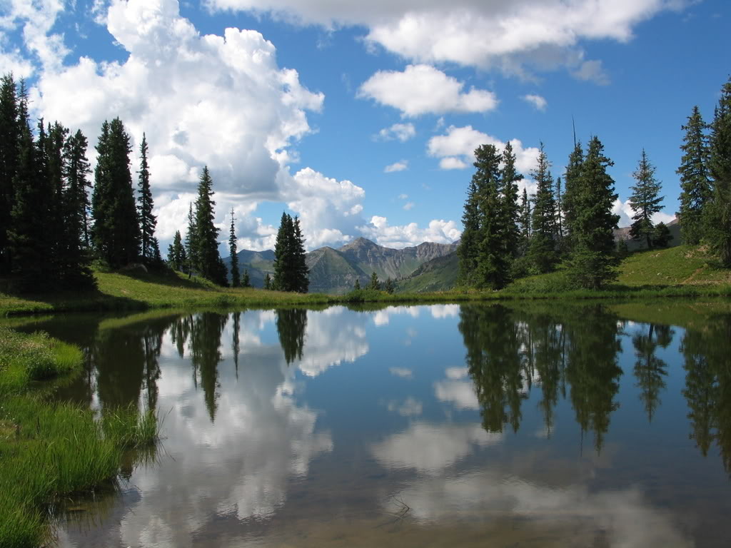
credit: scbeachdreamer
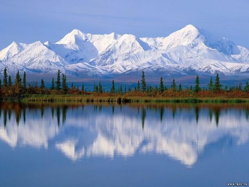
credit: bigbenlll
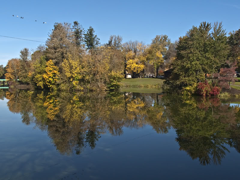
credit: rhodylvr
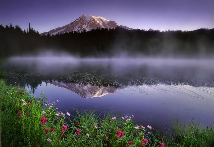
credit: utrebo
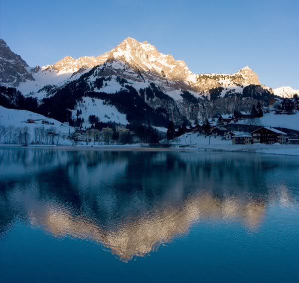
credit: rednurse35-2007
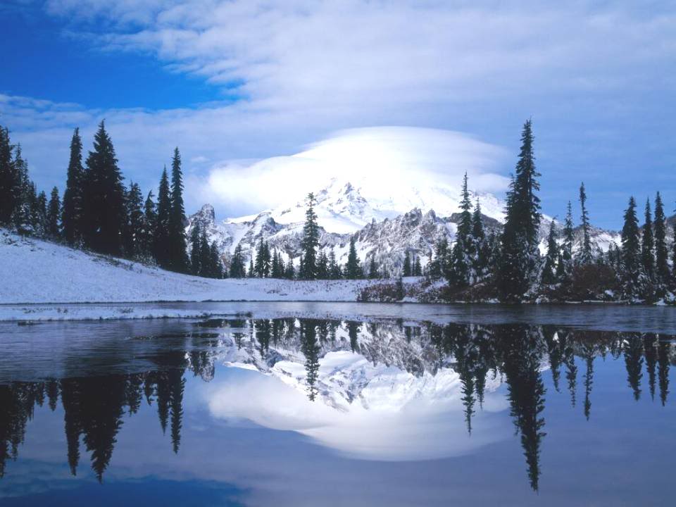
credit: ronablim
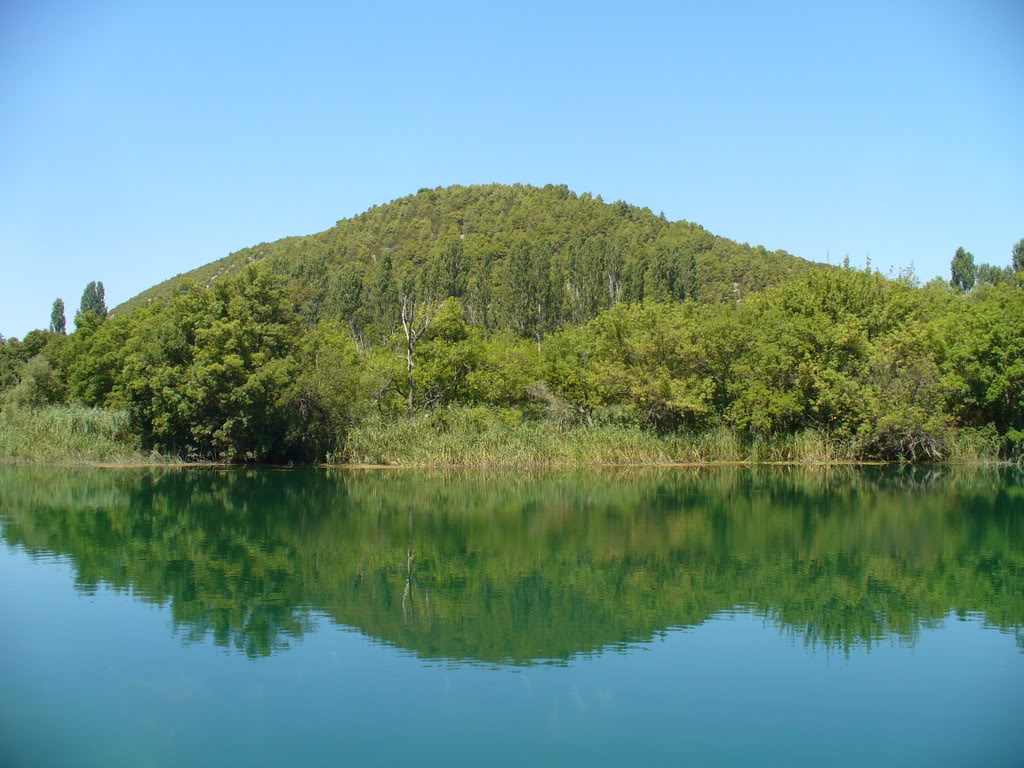
credit: mirandaonthemove
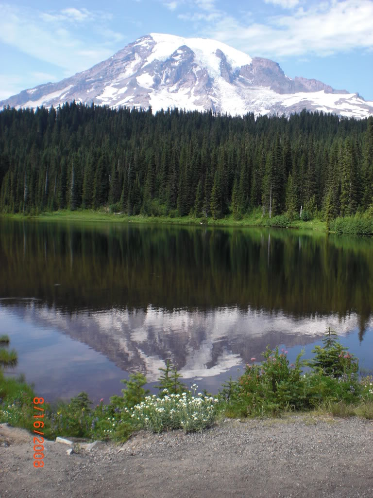
credit: rinluvvin
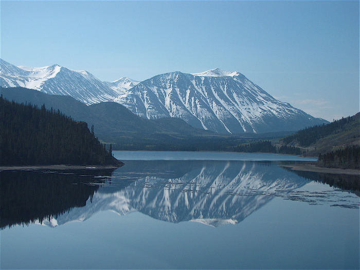
credit: mogul
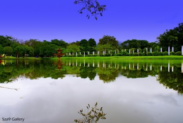
credit: 5za9
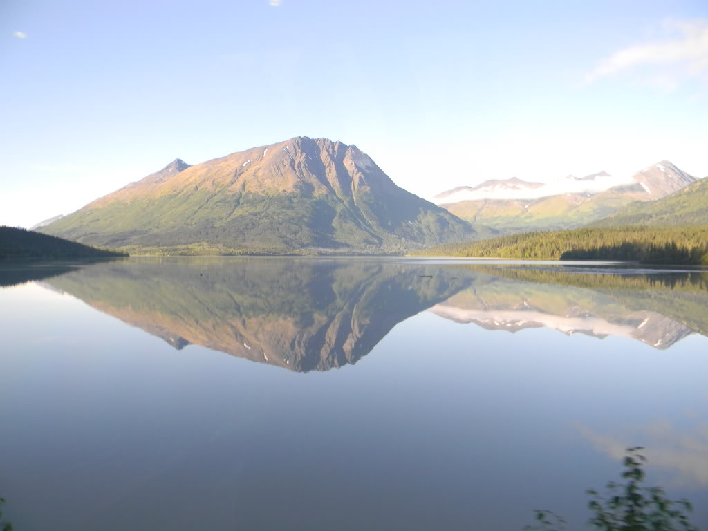
credit: OBoy_2010
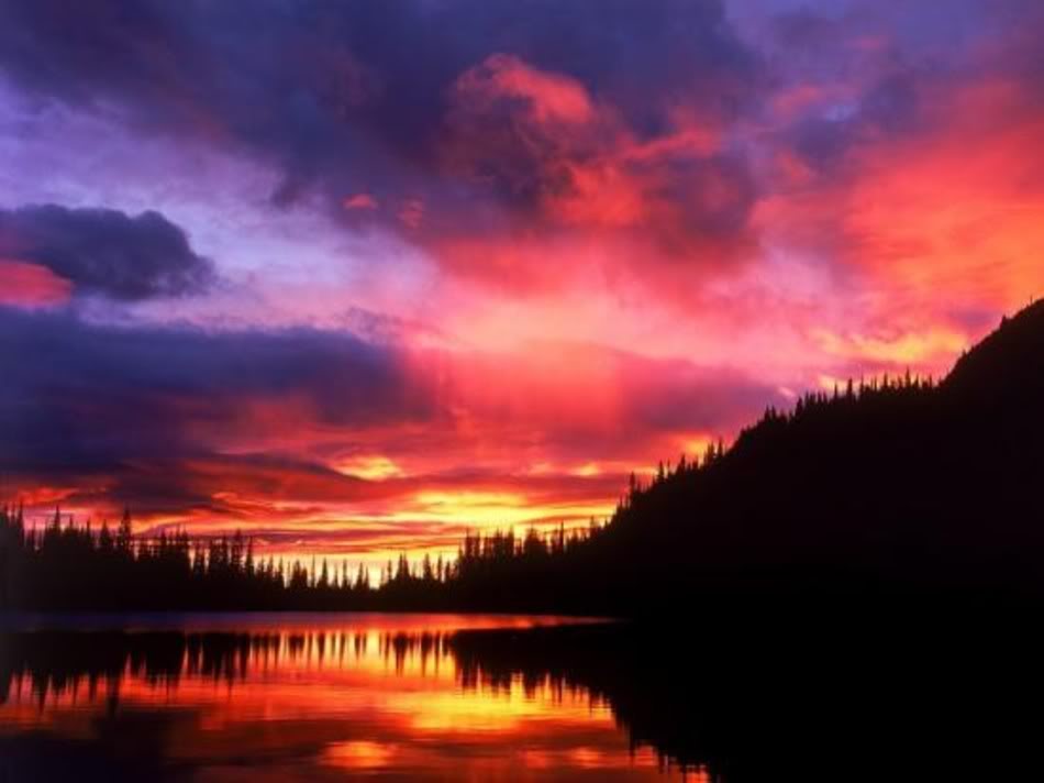
credit: IsisAndersen
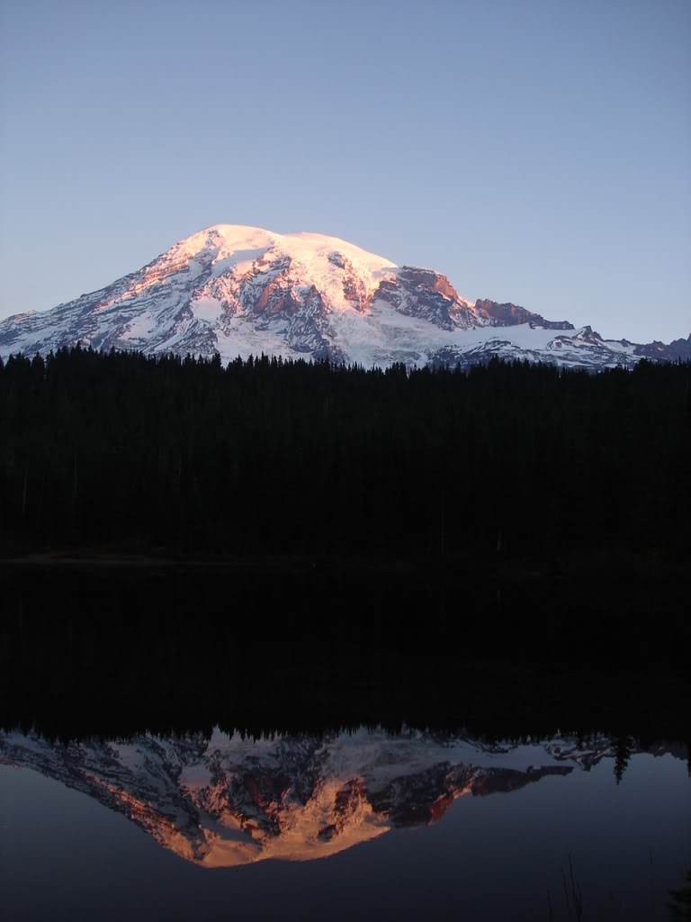
credit: Kylemiller411
Tags: country, Fall Colors, High Quality Image, images, Lake, Landscape, Landscape Photos, Magic, magic of nature, mountain, Nature, Photography, photos, Reflection, reflection lake, reflection photography, Sunrise, Sunset, water reflection
Relevant Articles
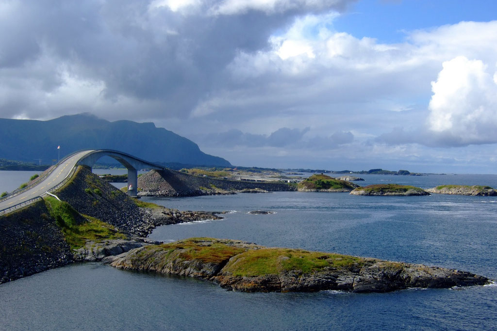
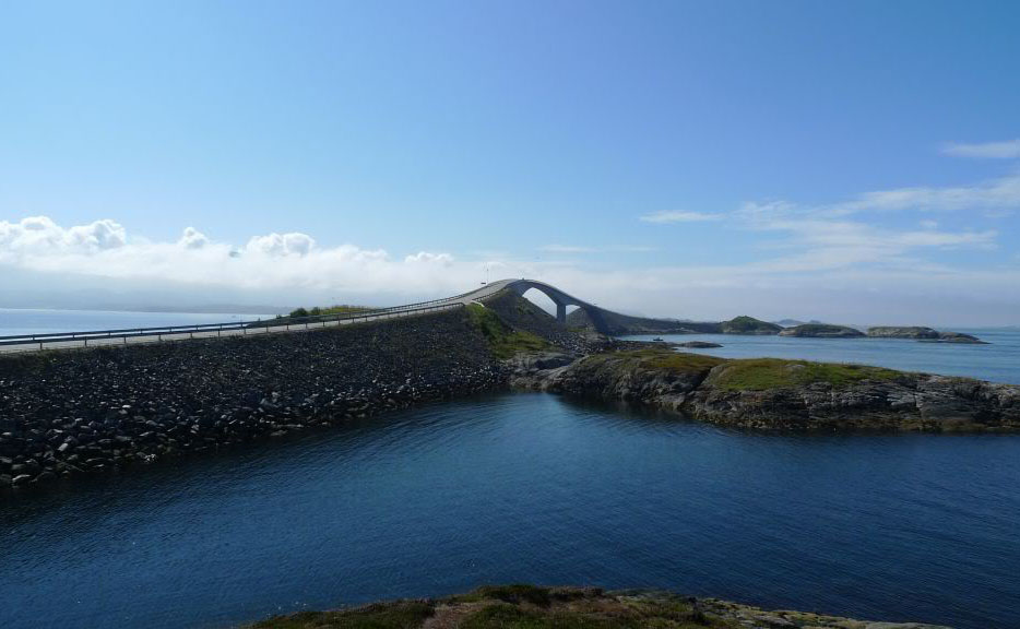
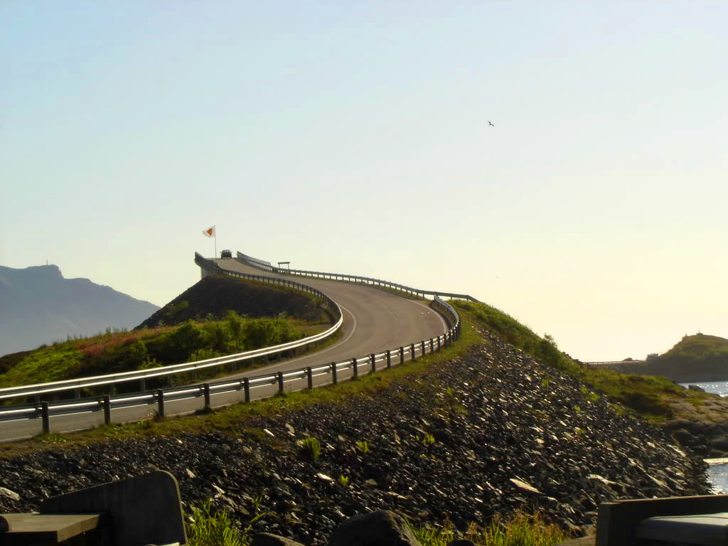
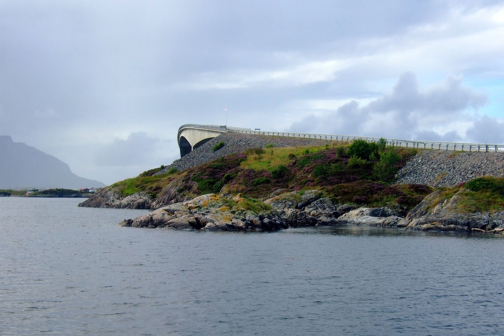
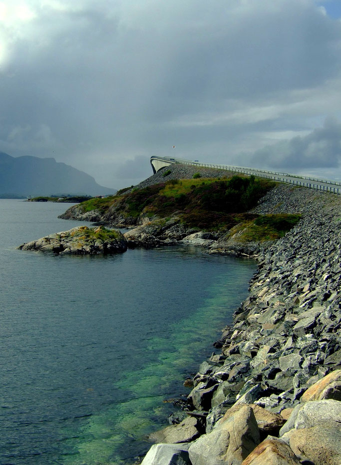
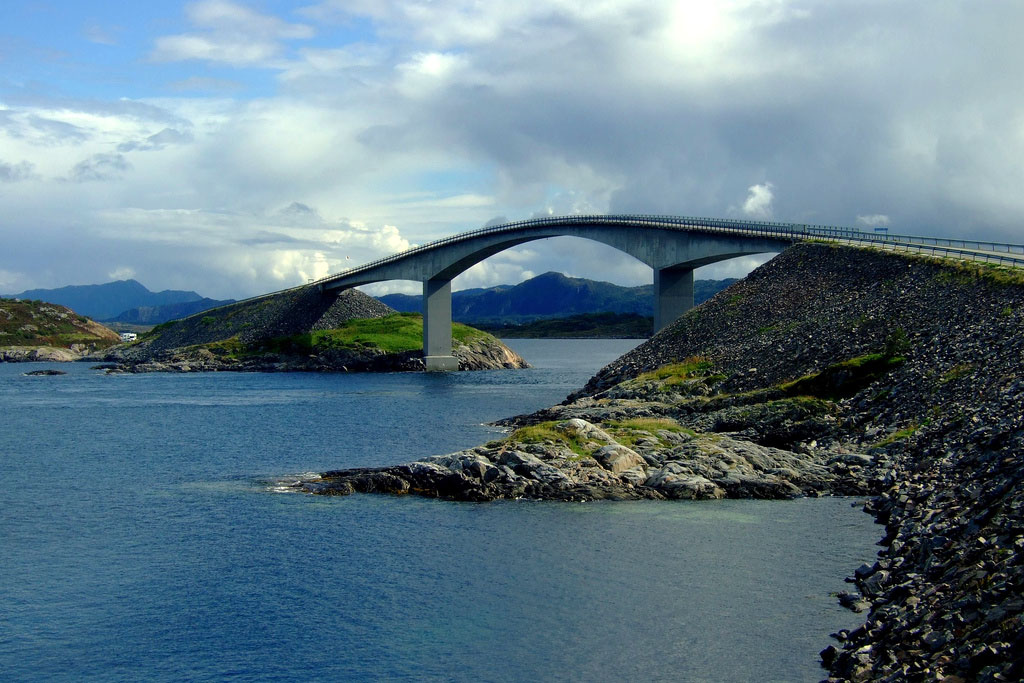
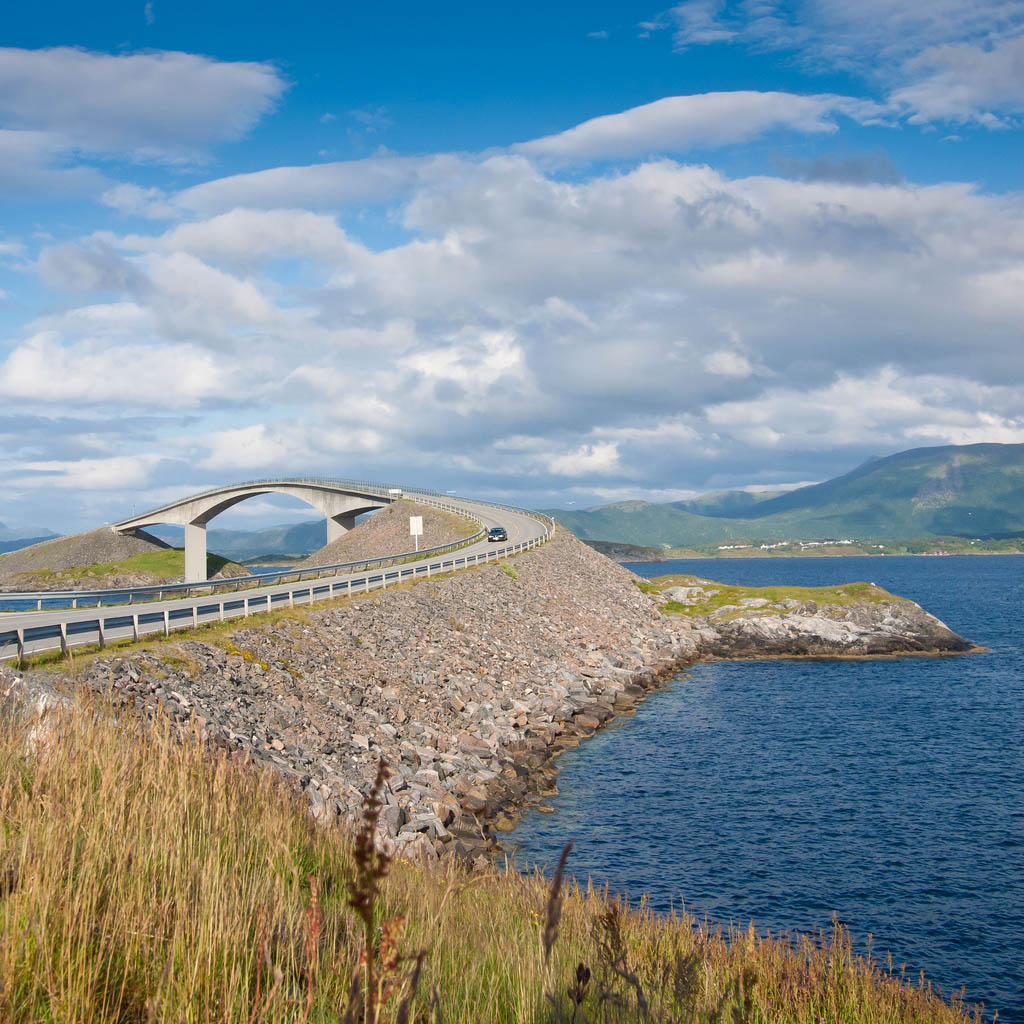
The road connect the mainland Romsdal peninsula to the island of Averoya in More og Romsdal county, Norway. The road linking the islands between two cities, Molde and Kristiansund in the fjords of Western Norway. The Atlantic Road glides from island to island by eight bridges. The tallest bridge, the bridge Storseisundet, has a dramatic and beautiful curve and almost brings a perspective of art bridge building. Storseisundet Bridge is a cantilever bridge that is 260 metres long and with a maximum clearance to the sea of 23 metres. Road was opened on 7 July 1989, and it was a toll road until June 1999. Now, it is toll-free.
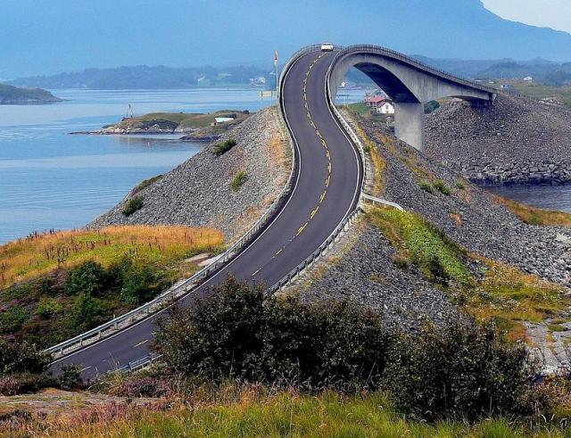
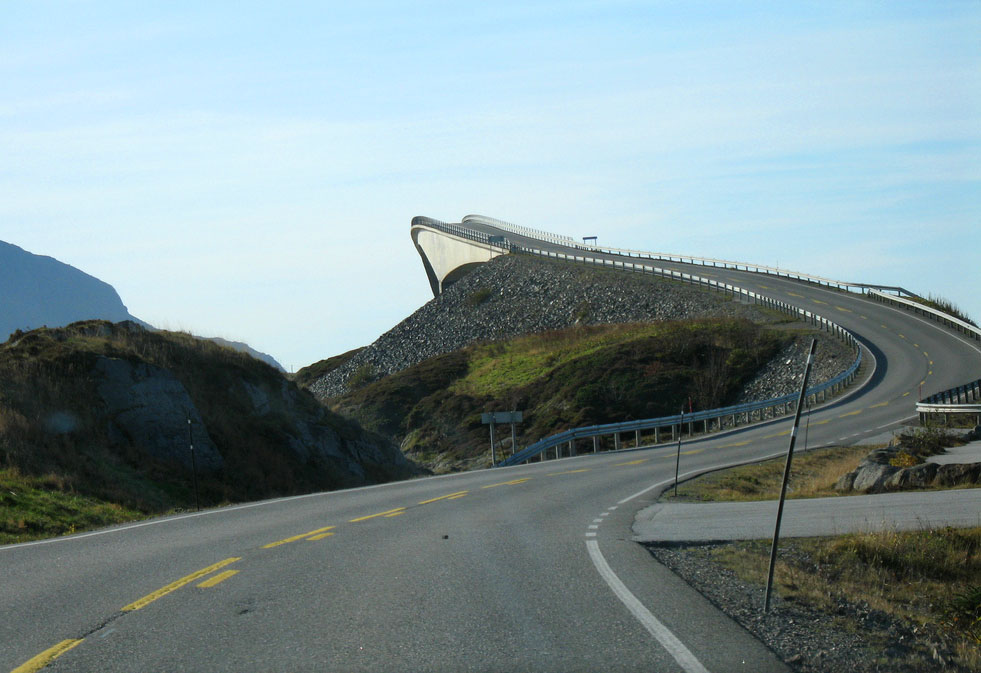

Tags: Atlanterhavsveien, atlantic, Atlantic road, atlantik, Best, best road trips, Bridge, brücke, County Road 64, e64, Highway, La Carretera del Atlántico, Landscape, landschaft, norge, Norway, norwegen, Road, road trip, romsdal, storseisund, Storseisundet bridge, Storseisundetbrua, strasse, straße, The Atlantic Ocean Road, The Atlantic Road, Trip, way..
Relevant Articles


 Great Pictures of Yellowstone Na...
 Joshua Tree National Park Photos
 Spectacular Grand Teton National...
 Best Photos of Zion National Par...
 Gros Morne National Park, Canada...
 Scenic Glacier National Park, Mo...
 Gates of the Arctic National Par...
 BushWalking Across Kakadu Nation...


 Historical Games at Mindes Islan...
 Reasons to Visit Cayman Islands
 Whale Drive at Faroe Islands
 Geologic Treasure – Vermil...
 Galapagos Gaint Tortoise
 Vanuatu – Traditional Paci...
 Amazing Ashikaga Flower Park, Ja...
 Hitachi Seaside Park, Hitachinak...


 Models of Ships in Las Palmas, G...
 Traditional Bethlehem in Las Pal...
 Las Vegas Neon Boneyard
 LG Showcase at CES 2013, Las Veg...
 CES 2018 in Las Vegas
 Magnificent Mulanje Mountain and...
 Wild West Bodie Ghost Town


 World Snail Racing Championships
 Holidays on the Beach Lalomanu, ...
 Fingals Cave and Staffa Coast, S...
 Aloha Oahu
 Death Valley National Park Wallp...
 Free Xmas Wallpapers
 Best Army Silhouetted Wallpapers
 Lionel Messi Desktop Wallpapers


 Saint Andrews Cathedral Ruins &#...
 Metropolitan Cathedral of Sao Pa...
 Colorful Saint Basils Cathedral ...
 Duomo di Milano – The Most...
 Inside British Heritage
 The Memorial Amphitheater at Arl...
 Esmeralda – The Second Tal...


 Strange Animal Attacks on Humans
 What is a Bonsai Tree ?
 Unconventional Christmas Tree in...
 Los Angeles Zoo Facts
 Lovely Neapolitan Mastiff Lucy
 Collapsing Bannerman Castle on t...


 Museum of Qin Terracotta Warrior...
 Macro Photography – Flying...
 The Grand Canyon in Gorgeous Col...
 The Mysterious Catacombs of Pari...
 Losee Canyon Trail
 Dinosaur Provincial Park –...
 Mysterious Chichen Itza – ...
 Mosetlha Bush Camp at Madikwe Ga...


 Visiting Carlsbad Caverns Nation...
 Zhangjiajie – National For...


 Nature Wonder Cappadocia
 Absolutely Breathtaking Pools in...
 Top Tourist Attractions in Lisbo...
 The Royal Naval Dockyard –...
 Sigiriya – Rock Fortress, ...
 Idol Rock – Curious 200 to...
 Horse Shoe Bend – Most Pre...
 Bear Fishing Near Kurilskoye Lak...


 Duro Canyon State Park
 Mount Kilimanjaro – The Ro...


 Greenland Glacier Melting Faster
 Ice Caves under the Mendenhall G...
 Tour of Orchid World Barbados
 Times Square – Most Visite...
 Tour de France 2015 in Pictures
 Italia in Miniatura in Rimini &#...


 Creative Wedding Cakes Inspirati...
 The Best Wedding Photography Ide...
 Be a Princess in White Wedding D...
 Handcrafted Fashion Accessories ...
 American Wedding Movie Wallpaper
 Hluboka – Most Famous Cast...
 Europa Park – Most Beautif...
 Having Fun at the Book Store


 Yachting on a Lake with Ice Boat...
 Glory Hole of Berryessa Lake
 Amazing Shots – Places to ...
 The Baikal is the Deepest Lake i...
 Speed Racing at El Mirage Dry La...
 Looking into the Marble Cathedra...
 Salar de Uyuni – The world...


 Megastructure – Troll A Ga...
 Alesund – The Most Beautif...
 Nevada Open Road Challenge 2017
 Utah Off Road – Place for ...
 Road to White House
 Steam Powered Machines on The Ro...
 British Cycling National Road Ch...
 Sydney Steel Road Graffiti


