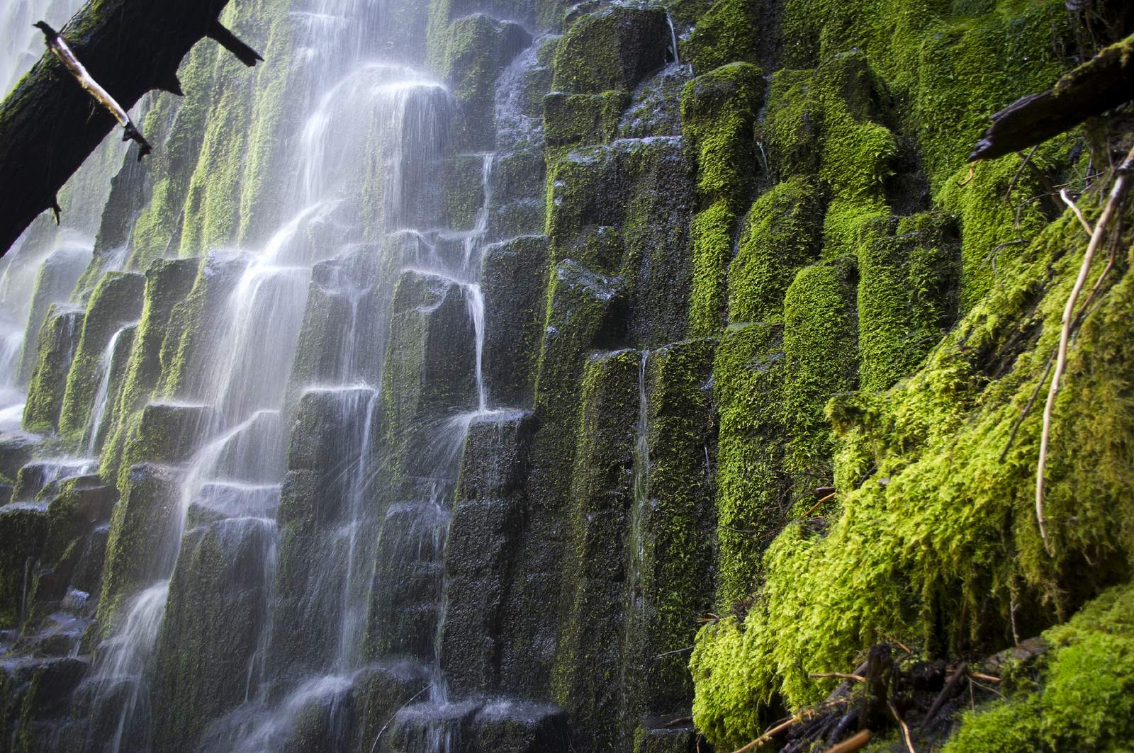
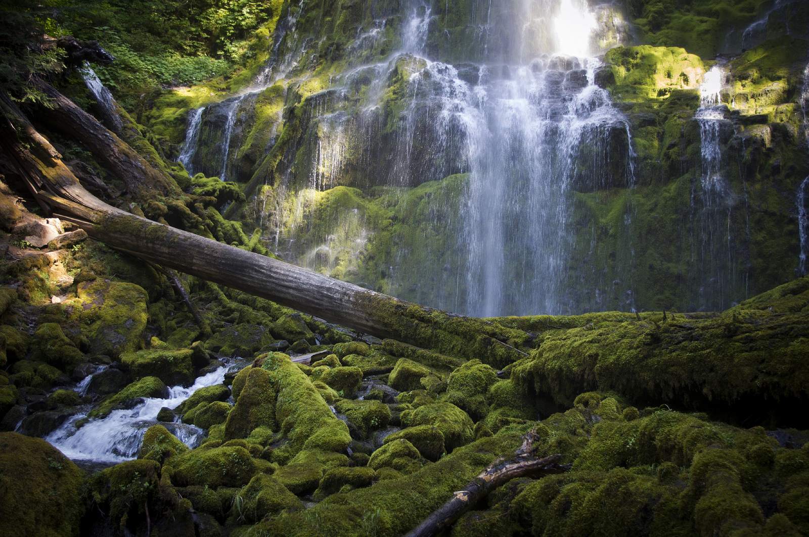
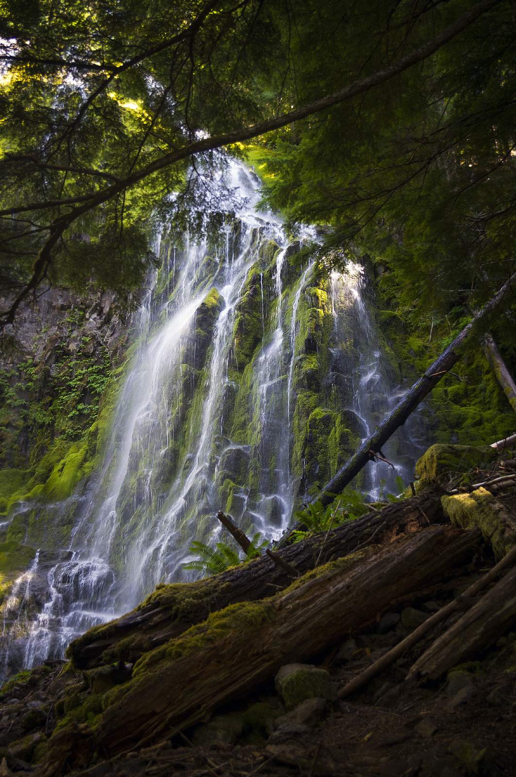
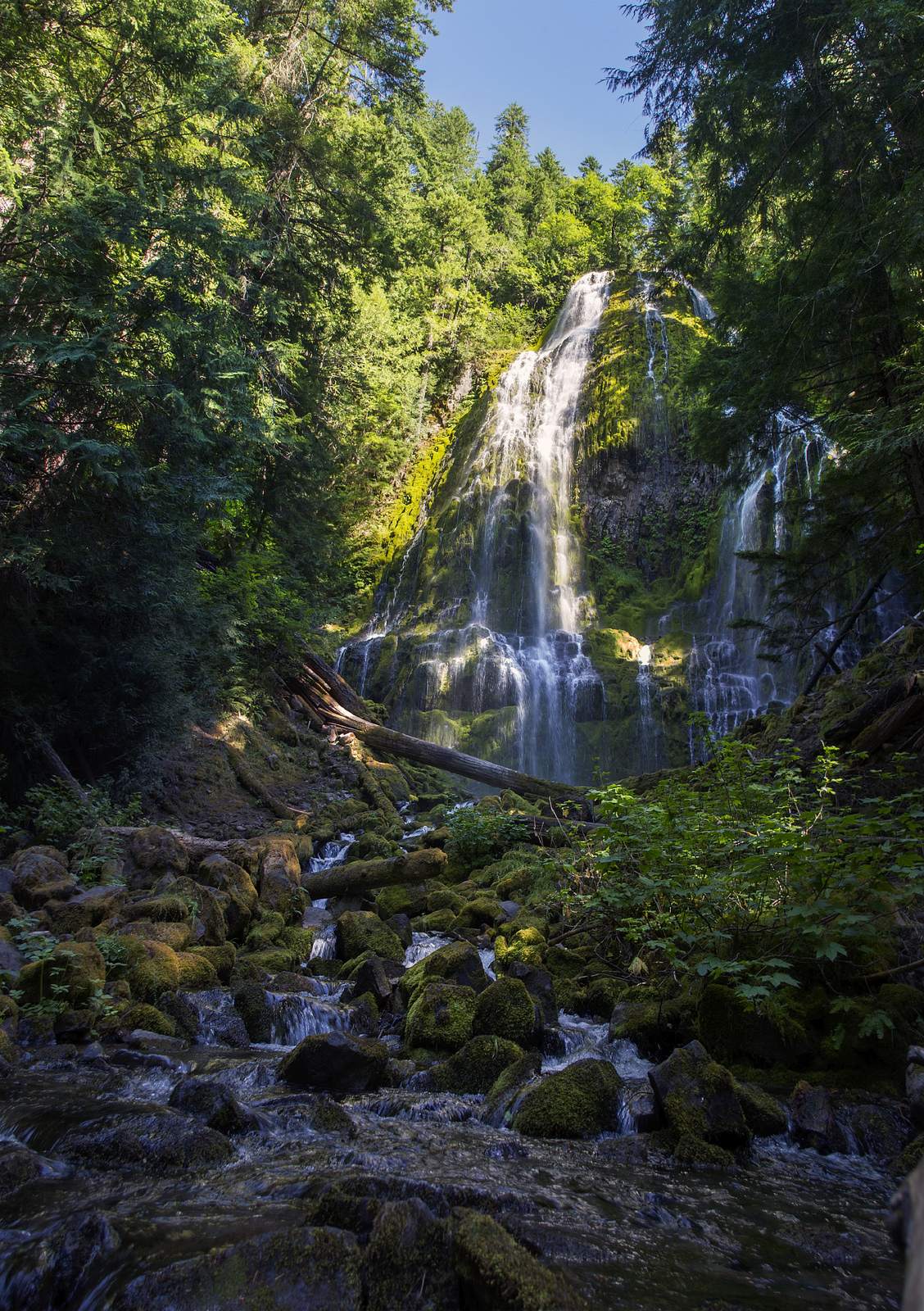
This multi-tiered, cascading waterfall is hidden in the dense Williamette National Forest along the McKenzie Pass Scenic Byway. It is one of the most frequently photographed waterfalls in Oregon. Lower Proxy Falls was created 6,000 years ago when a giant glacier carved a deep trough through the area, leaving steep canyon walls after the ice receded. The waterfall is a 100′ drop over stairsteps of broken columnar basalt giving the delicate misty look of the falls.
credit: Thomas Shahan 3
Tags: basalt, Cascades, columnar, Creek, Falls, forest, Hiking, mossy, Mountains, Oregon, outdoors, Pacific Northwest, Proxy, proxy falls, water stream, Waterfall, woods
Relevant Articles
The Hakuba alps lies from north to south in direction here with over 2,500 meters and nearly 3,000 meters high above sea level as Mt. Shirouma, Mt. Goryu or Mt. Karamatsu. Mount Karamatsu is just one of Nagano’s many landmarks. It is a 8,845 ft / 2,696 m mountain peak in the Hida-sanmyaku Range in Nagano, Japan. It ranks as the 22nd highest mountain in Nagano and the 50th highest mountain in Japan. The nearest peaks are Goryu, Yariga-take, Kashima Yarigatake, Shirouma-dake, Jiiga-take, and Tsurugi-dake.
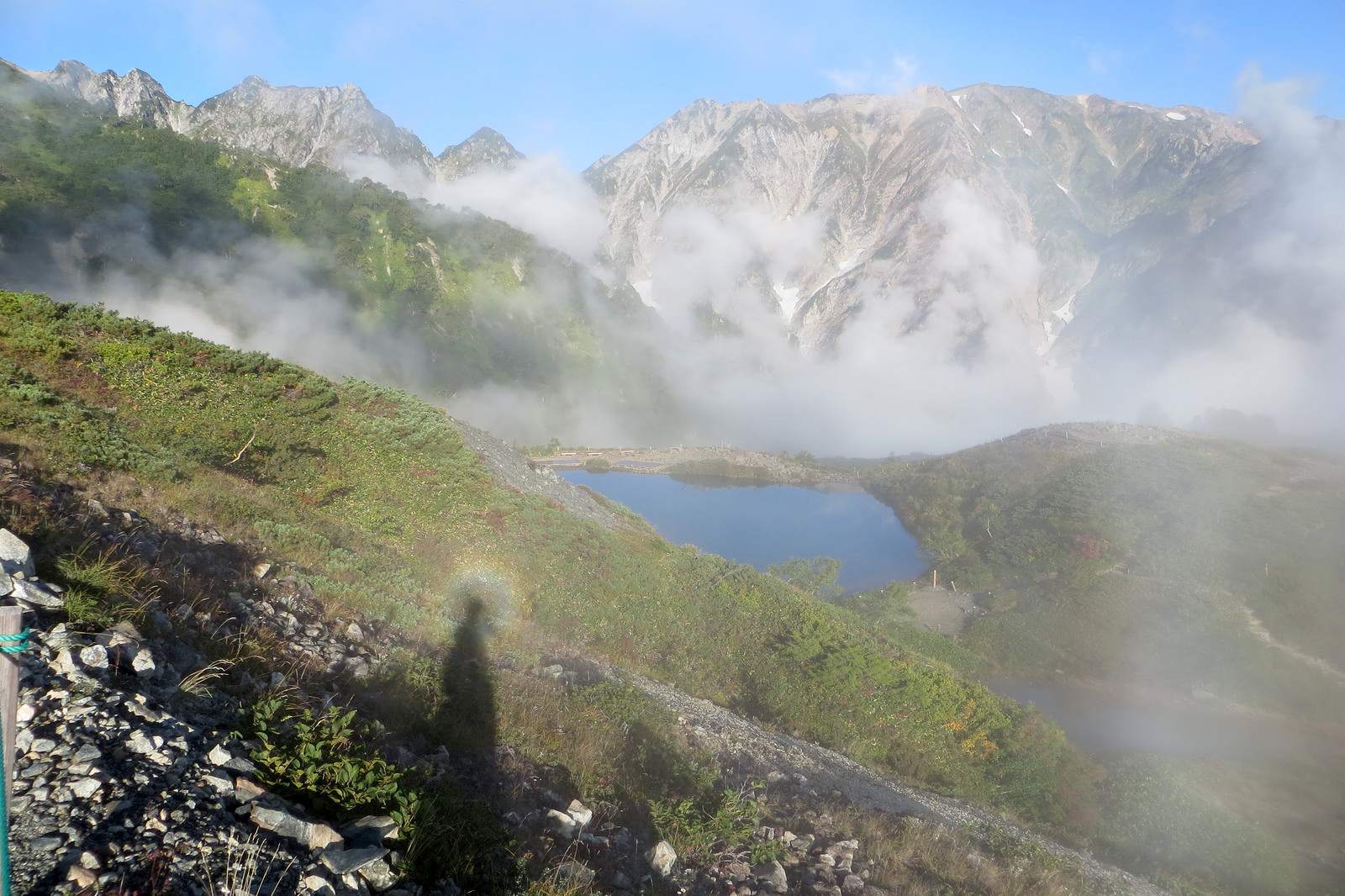
Brocken spectre at Happo-ike pond

South side
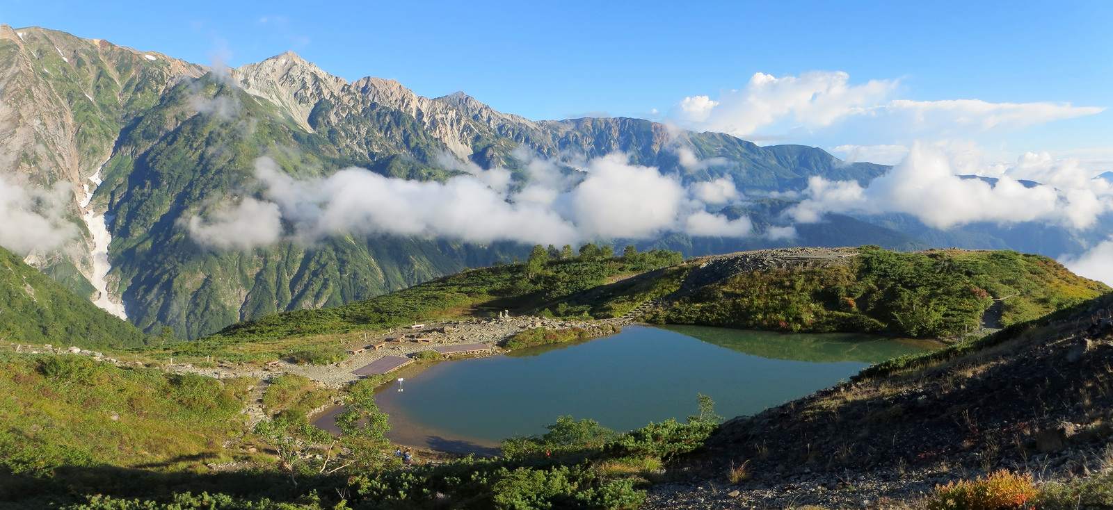
Happo-ike pond
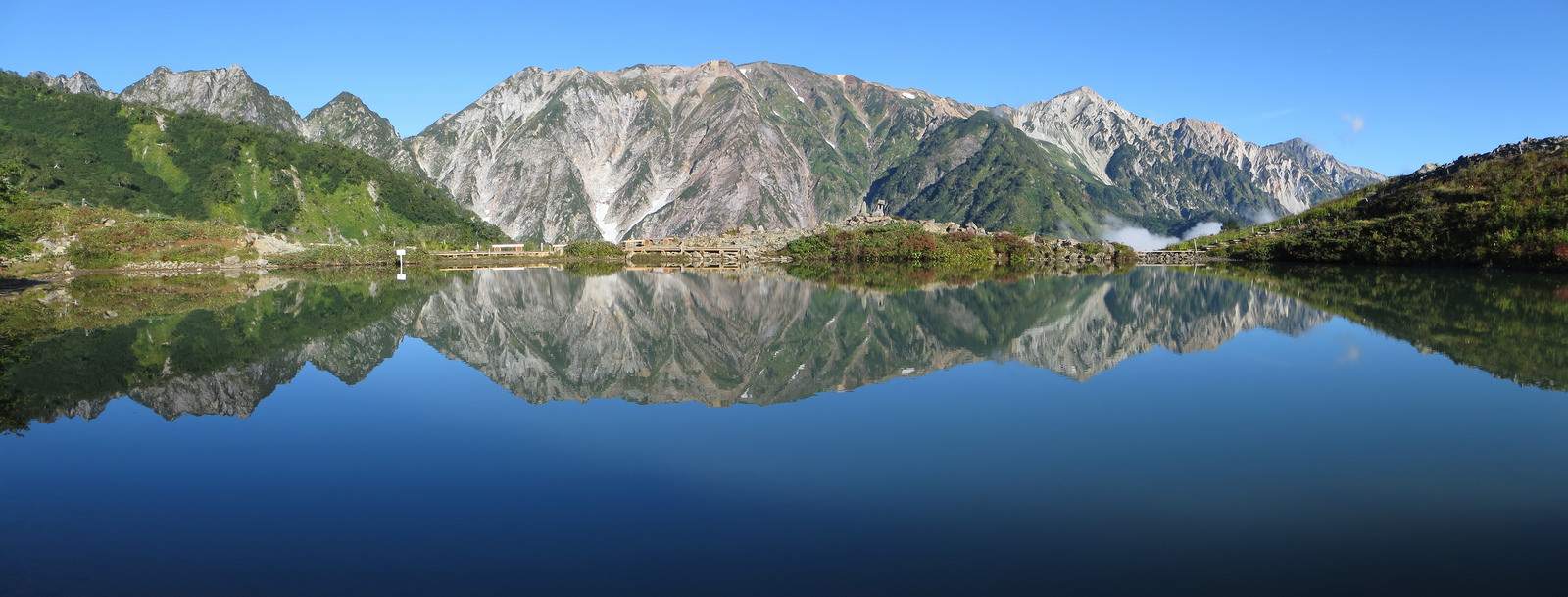
Happo-ike mirror
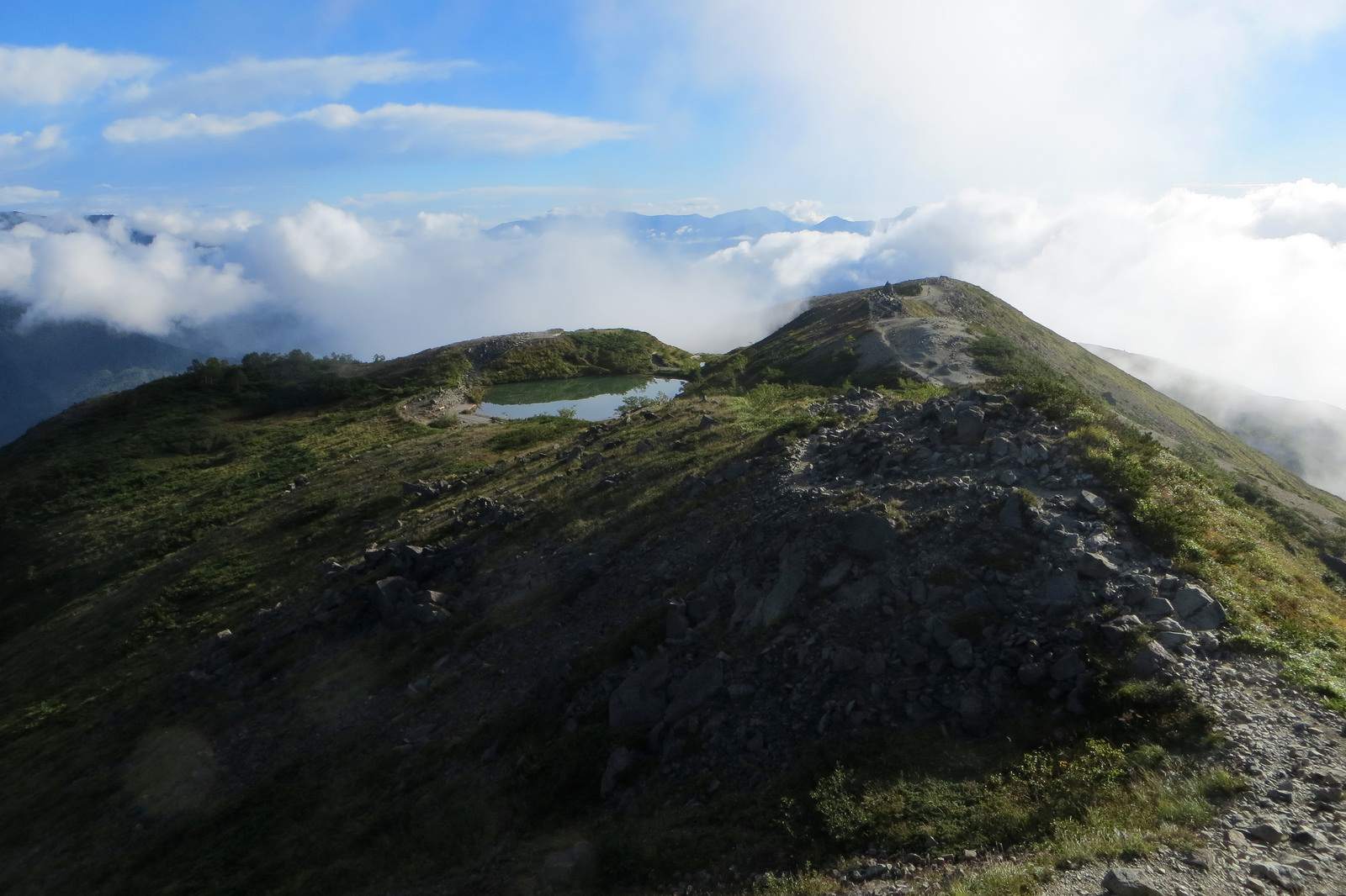
Happo-ike pond
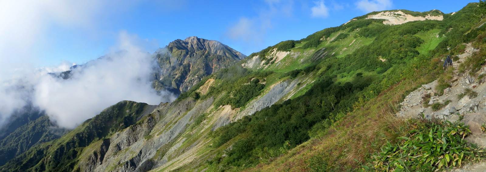
Traverse
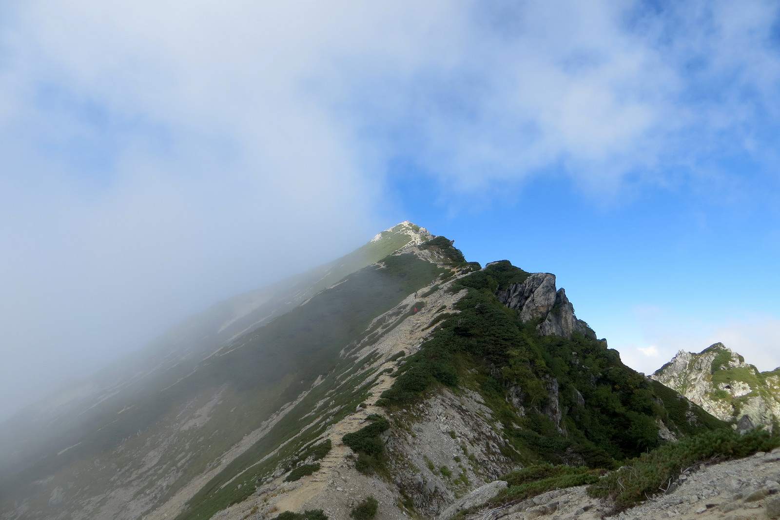
Mt. Karamatsu-dake
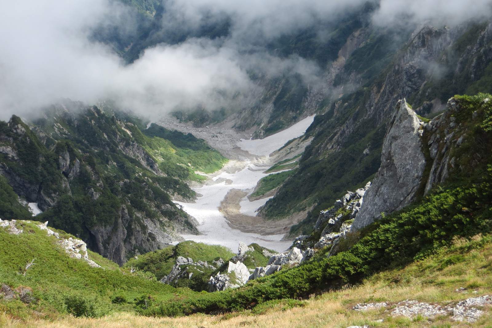
A snowy gorge
credit: hwat
Tags: Dake, Hakuba-mura, happo, happo-ike, Hiking, Japan, Karamatsu, karamatsu Dake, Mount, mt. karamatshu, south side, trail Nagano Prefecture, traverse
Relevant Articles
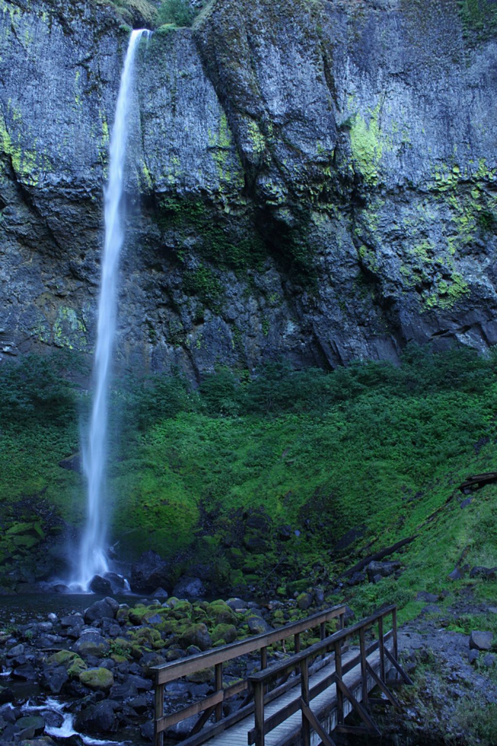
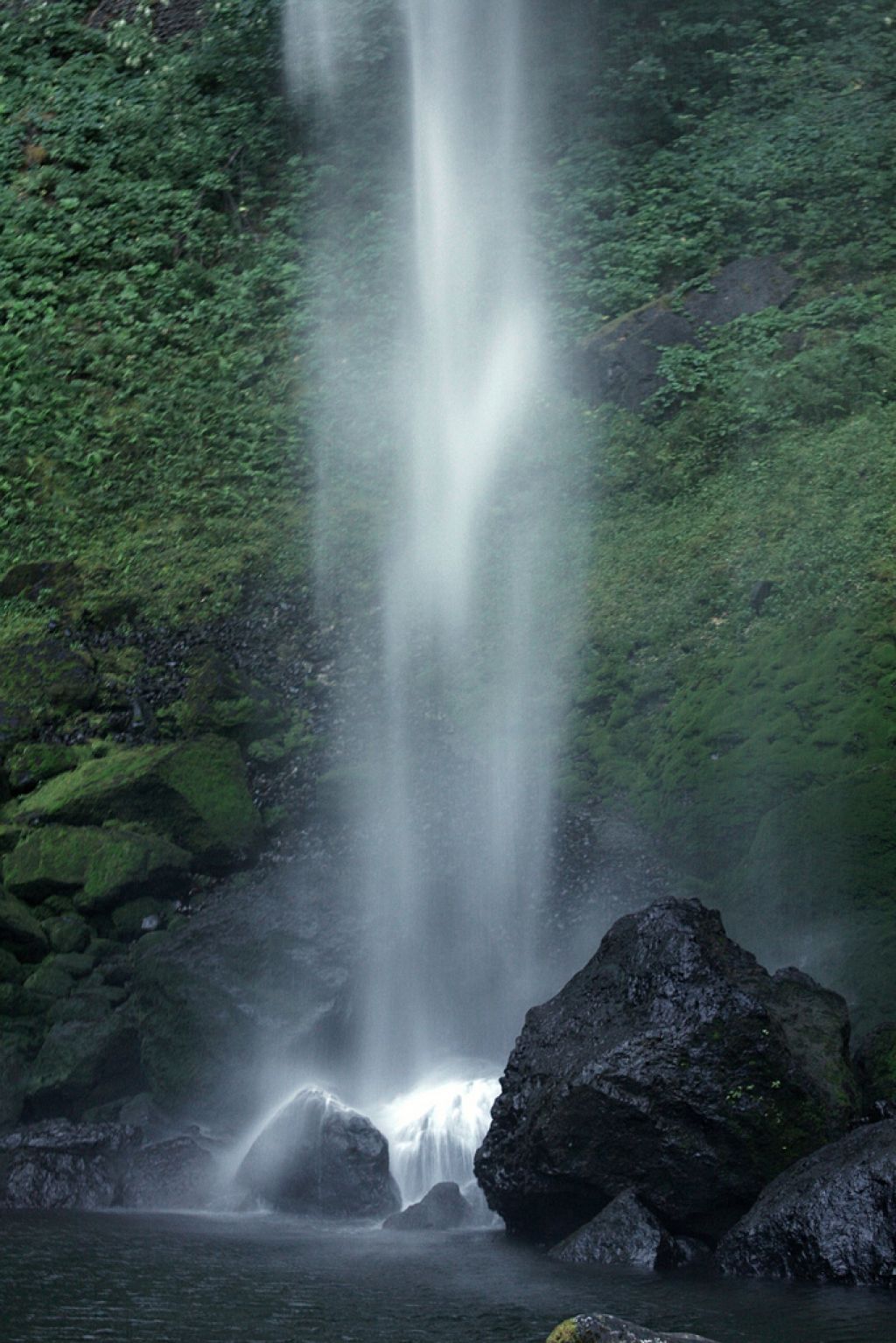
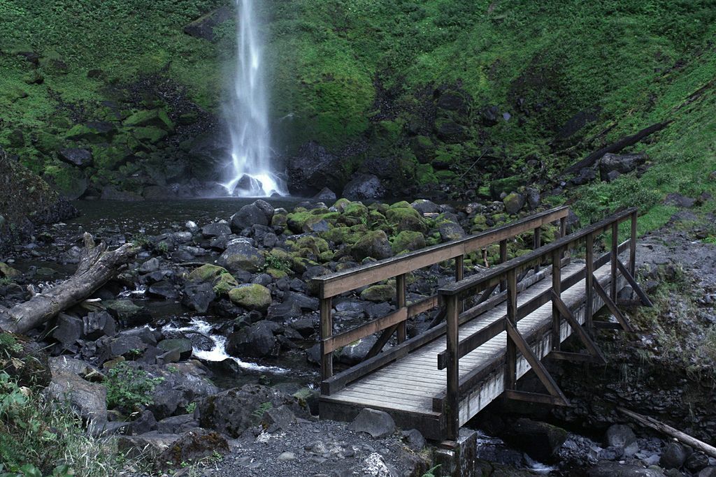
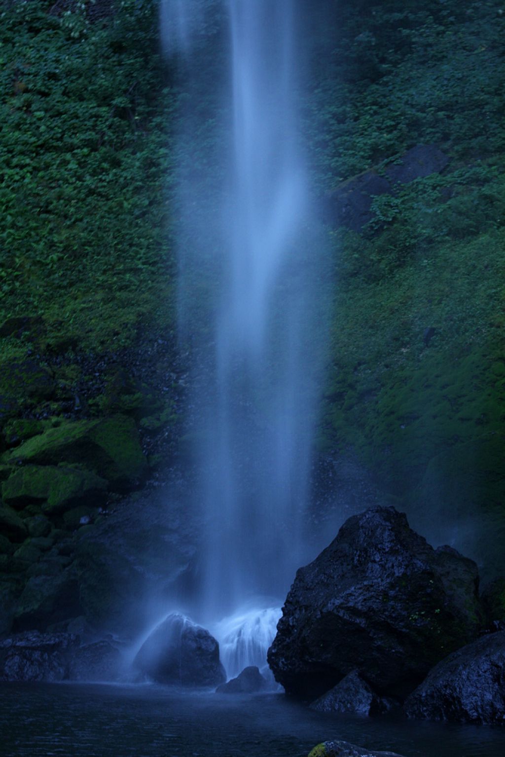
This is a fairly easy hike, appropriate for most beginners. There is a small amount of climbing with a summit in the middle. The trail to Elowah Falls is clearly marked. Elowah Falls is a stunning waterfall on the Oregon side of the Columbia River Gorge, easily comparable with Multnomah Falls in majesty, if not height.
Facts:
Start point: John B Yeon Trailhead
End Point: Elowah Falls
Permit: NW Forest Pass Required
Distance: 2 miles
Elevation: 150 ft. (+150 ft.)
Season: Mar-Jul
Difficulty: Easy
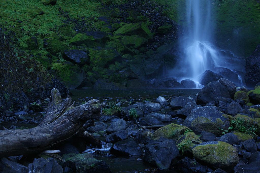
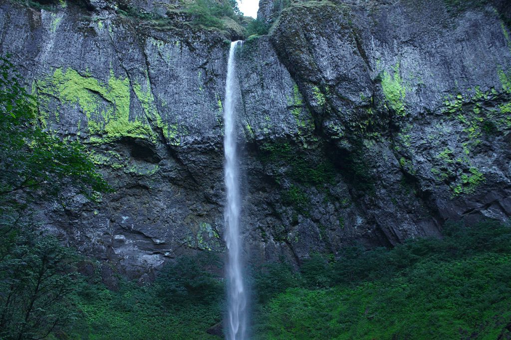
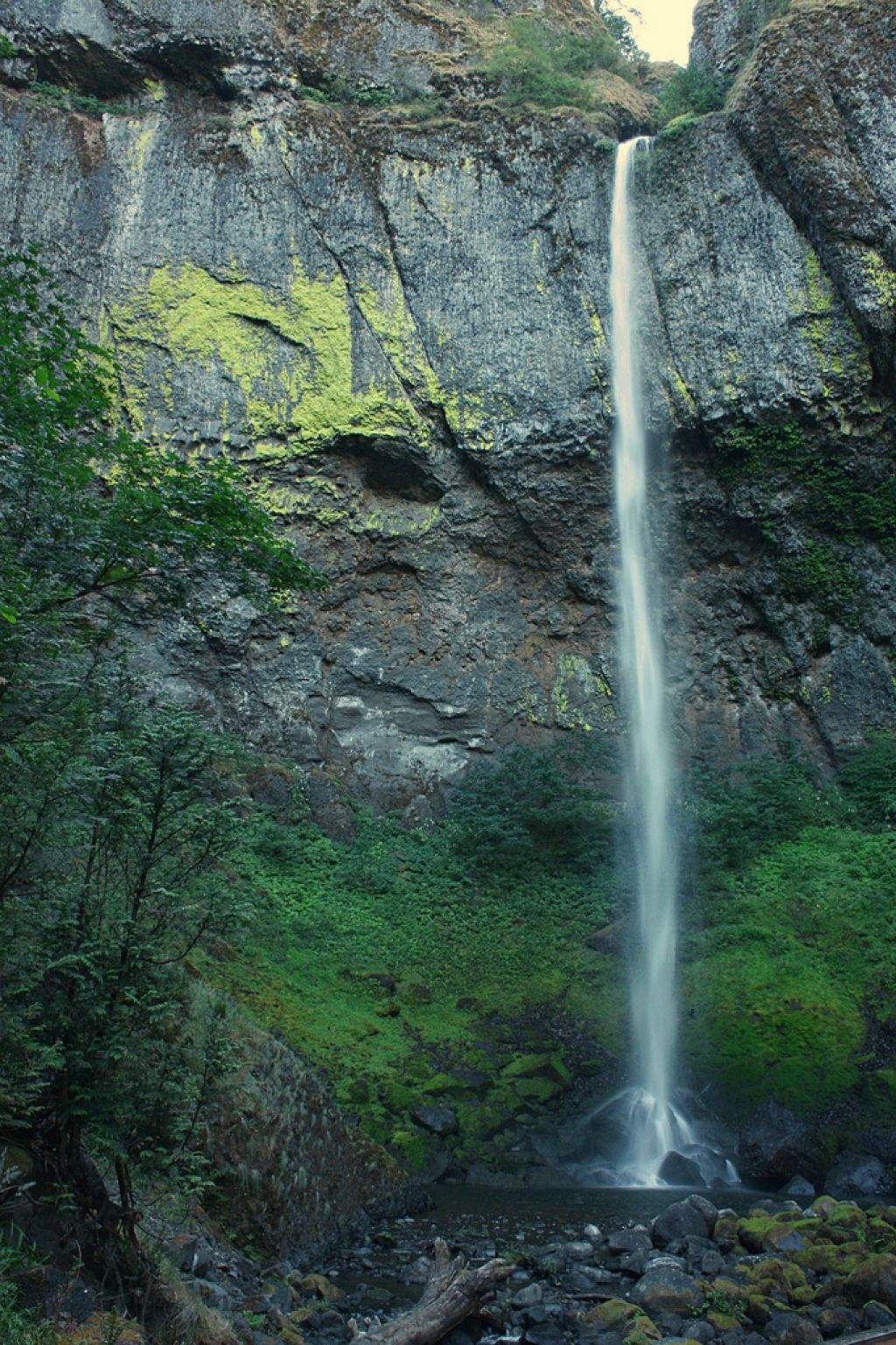
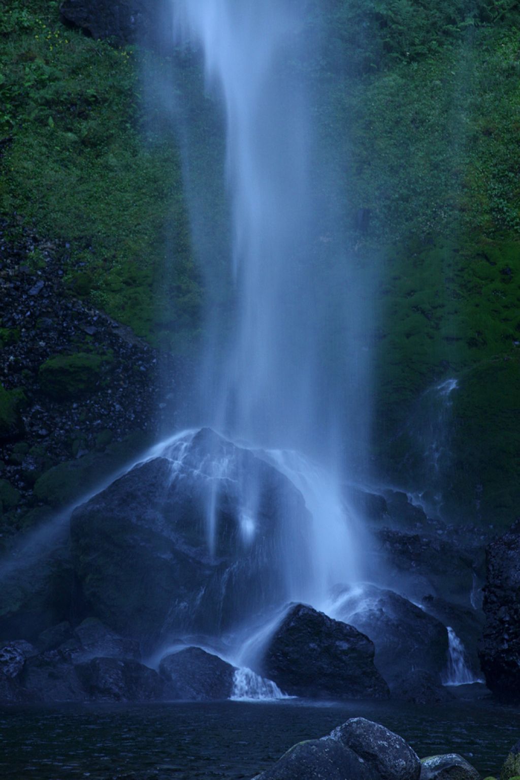
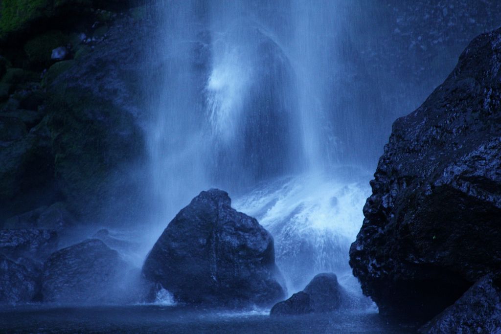
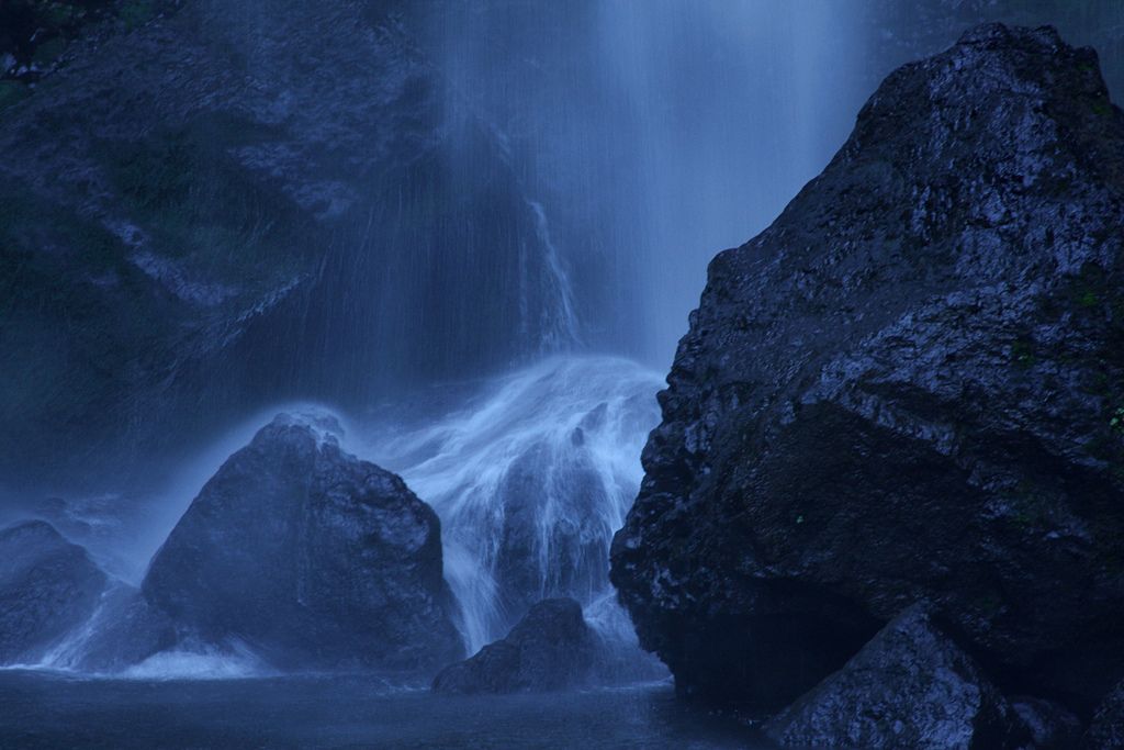
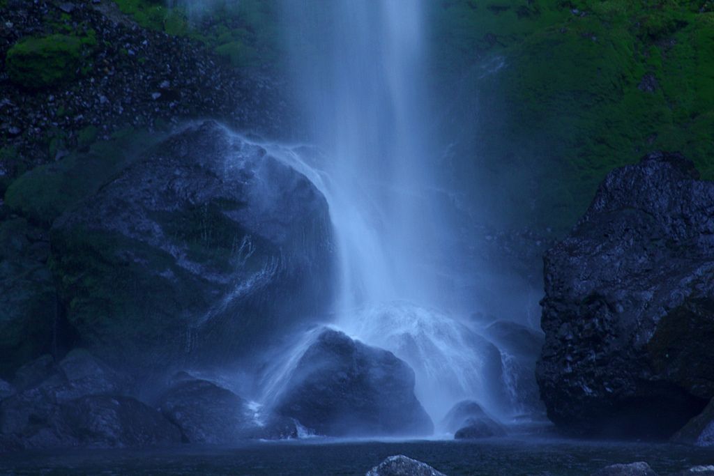
credit: brx0
Tags: Columbia Gorge, Columbia River, Elowah, Elowah Falls, Falls, Hiking, hiking oregon, hiking portland, hiking the gorge, McCord Creek, Portland
Relevant Articles
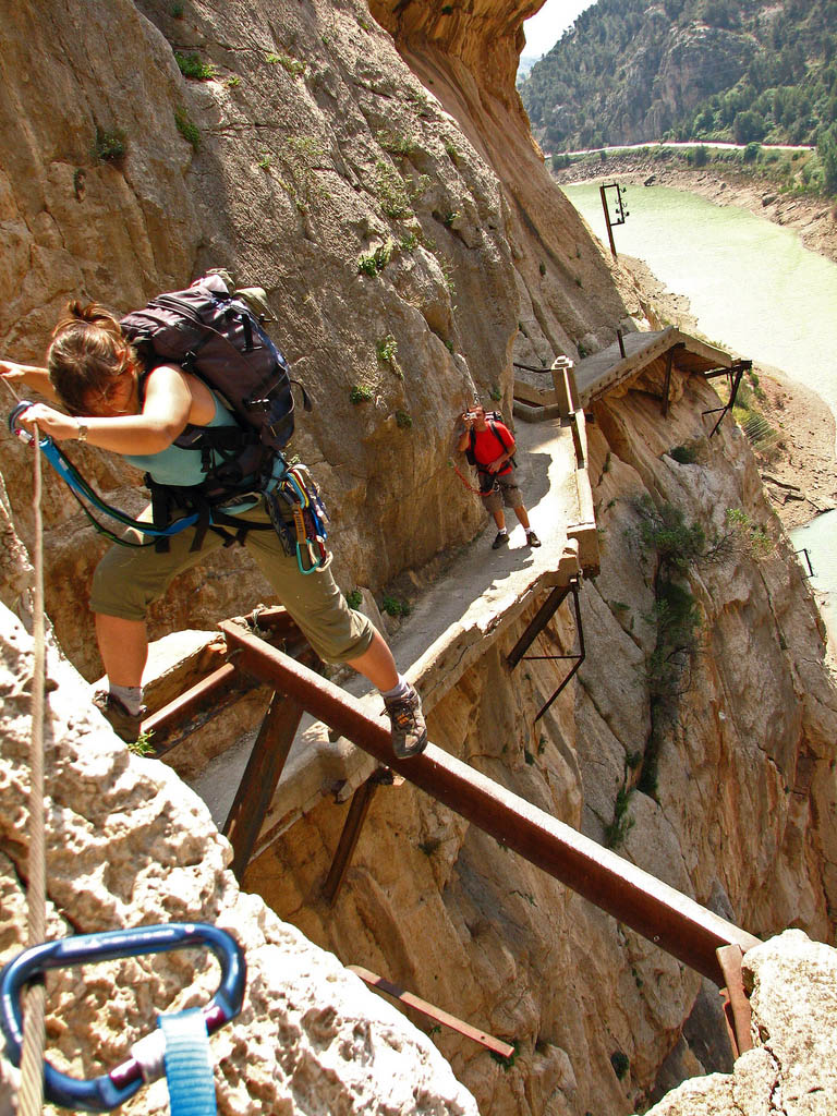
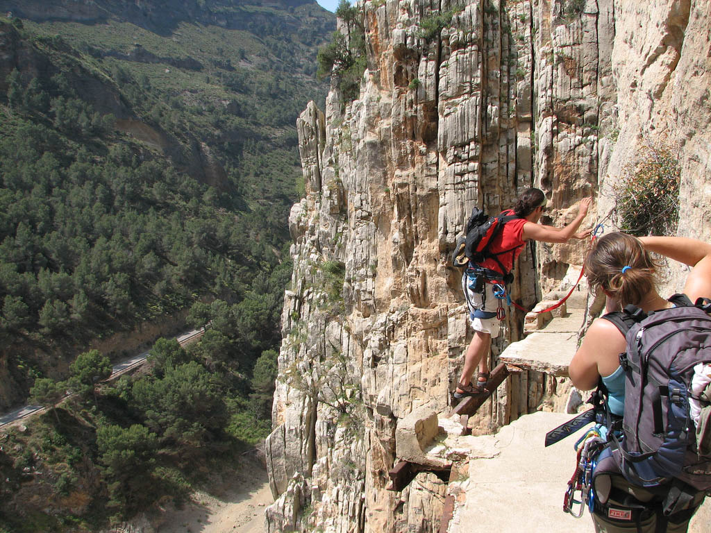
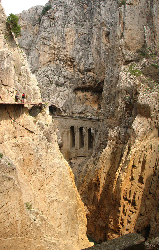
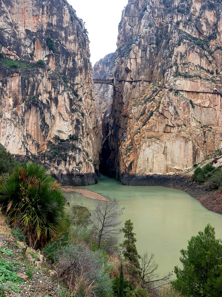
Pathway was opened at the begining of the 20th century by king Alfonso XIII. At photos, you can see climbers tackling on the King’s Pathway (El Caminito del Rey) in the Los Gaitanes Gorge, El Chorro, Álora. The walkway is one meter in width, and rises over 100 meters above the river below. The local government closed both entrances of the path after two fatal accidents in 1999 and 2000. Pathway should be reopen in 2014 after three years restoration-plan.
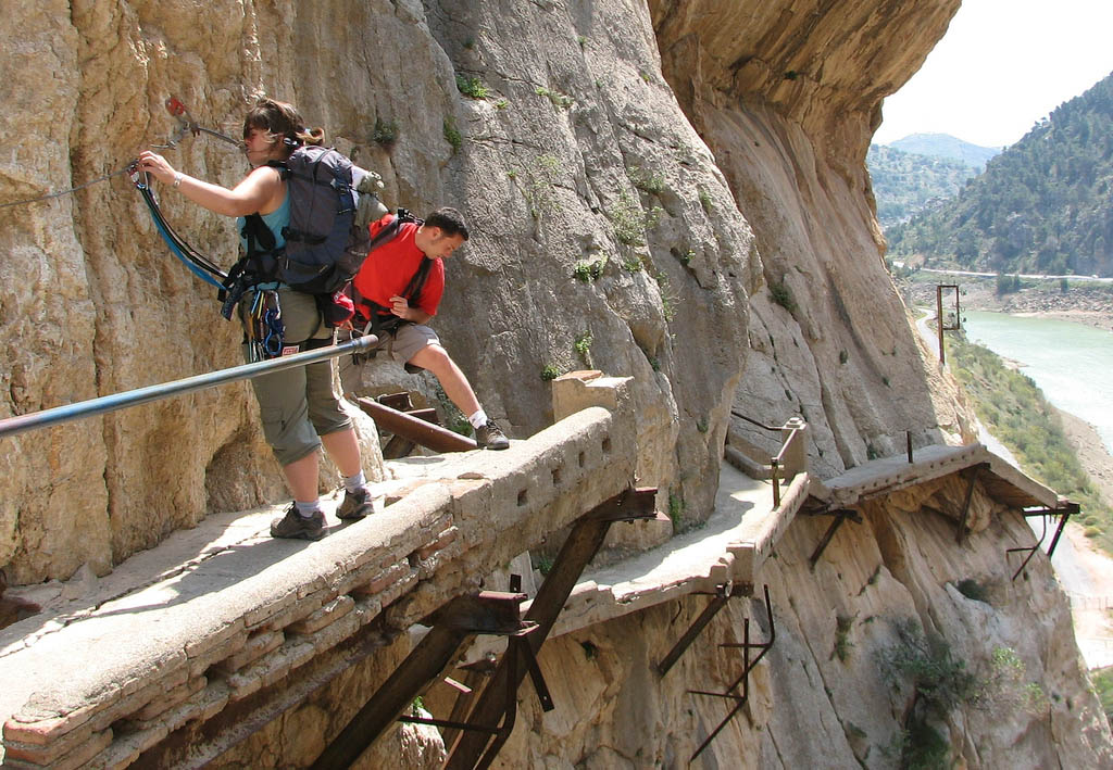
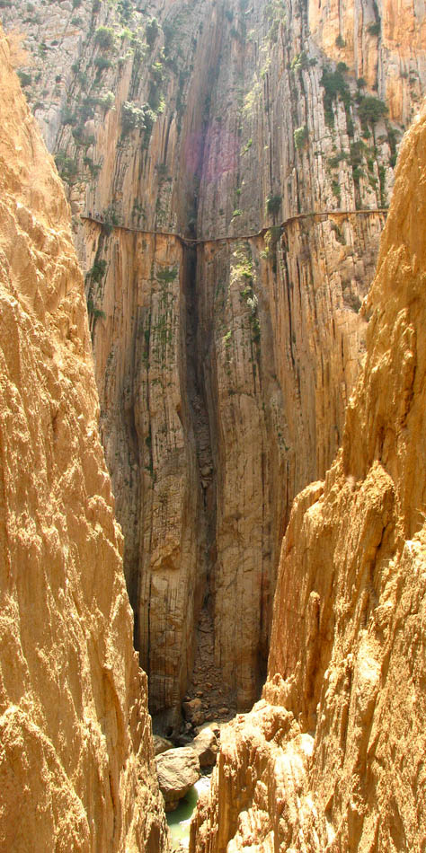
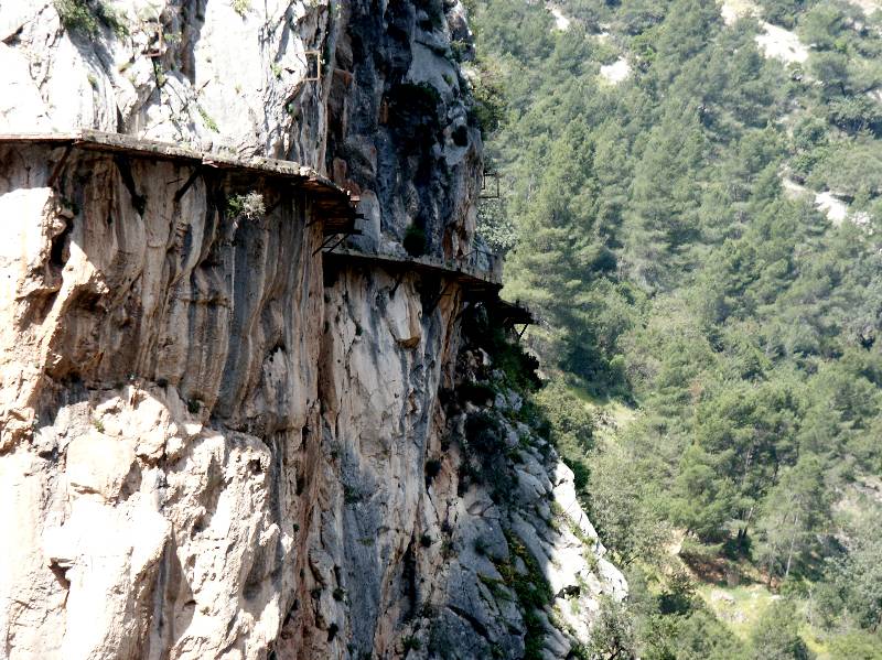
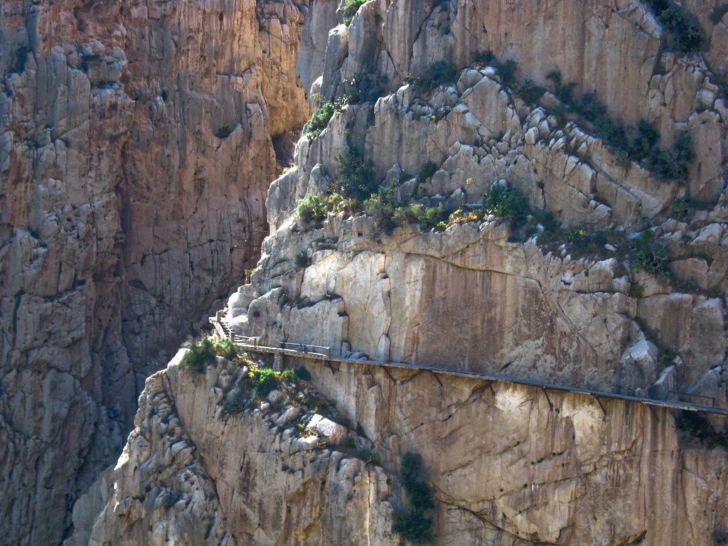
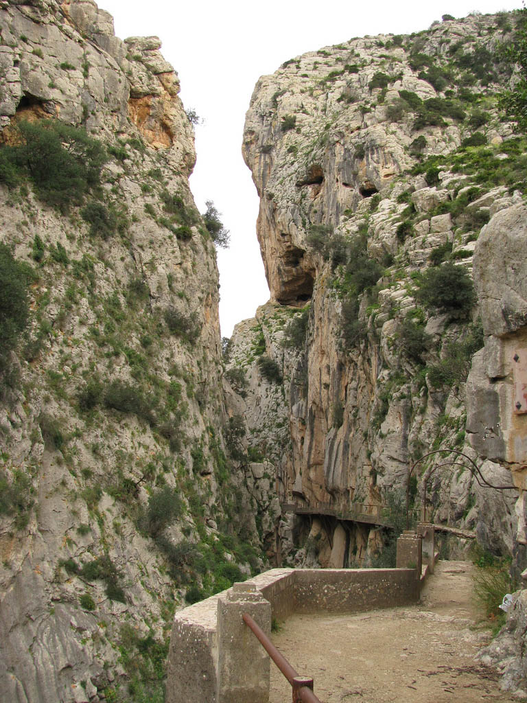
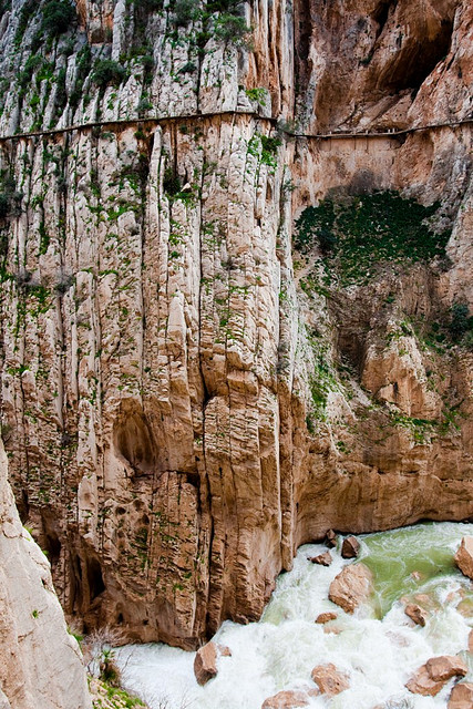
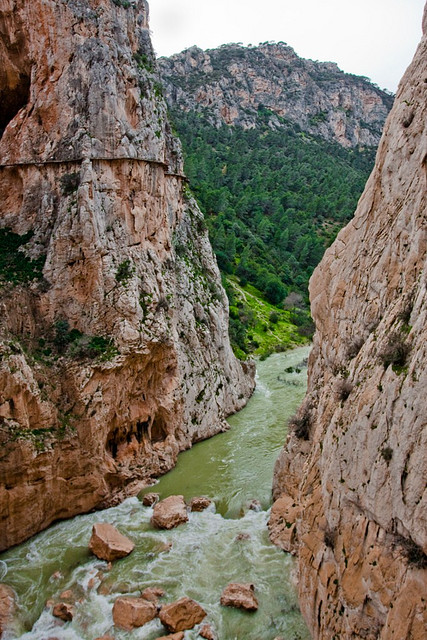
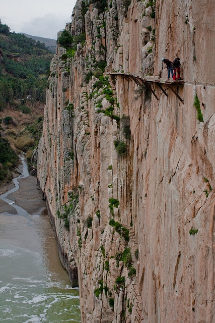
Tags: Álora, Andalucía, Andalusia, Caminito, Caminito del rey, camino del ray, Comienzo del Caminito del Rey, Dangerous, del, Desfiladero de los Gaitanes, El Caminito del rey, El Chorro, Espana, Hiking, Hill walkers, Kings Pathway, Los Gaitanes Gorge, Most, Rey, Scenery, Spain, The Kings little pathway
Relevant Articles


 The Largest Waterfall in the Wor...
 Day at Oregon Coast
 Hiking in Portland – Elowa...
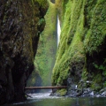 Oneonta Gorge Hike, Oregon
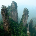 Zhangjiajie – National For...
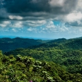 El Yunque Rain Forest in Puerto ...
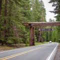 Best Photos of Mount Rainier Nat...
 Best Photos of Zion National Par...


 Mount Kilimanjaro – The Ro...
 Mount Everest – Highest Mo...
 Best Skiing Holiday in Austrian ...
 Facts about Mount Rushmore Natio...
 The Magnificent Mount Bromo Volc...
 Amazing Ashikaga Flower Park, Ja...
 Etna Volcano Eruption 2011


 Megatransect Hike 2013
 Proxy Falls – Oregon Casca...
 Ice Climbing World Youth Champio...
 Visit Kyrgyzstan – Climbin...
 Explore the Alaska Winner Creek


 Modern Diva Lana del Rey
 San Alfonso Del Mar – The ...
 Templar Castle of Ponferrada, Sp...
 Palace of the Arts Looks like Sp...
 Some Great Drawings
 Pedraza in Spain – Traditi...
 Visiting Historic City of Toledo...


